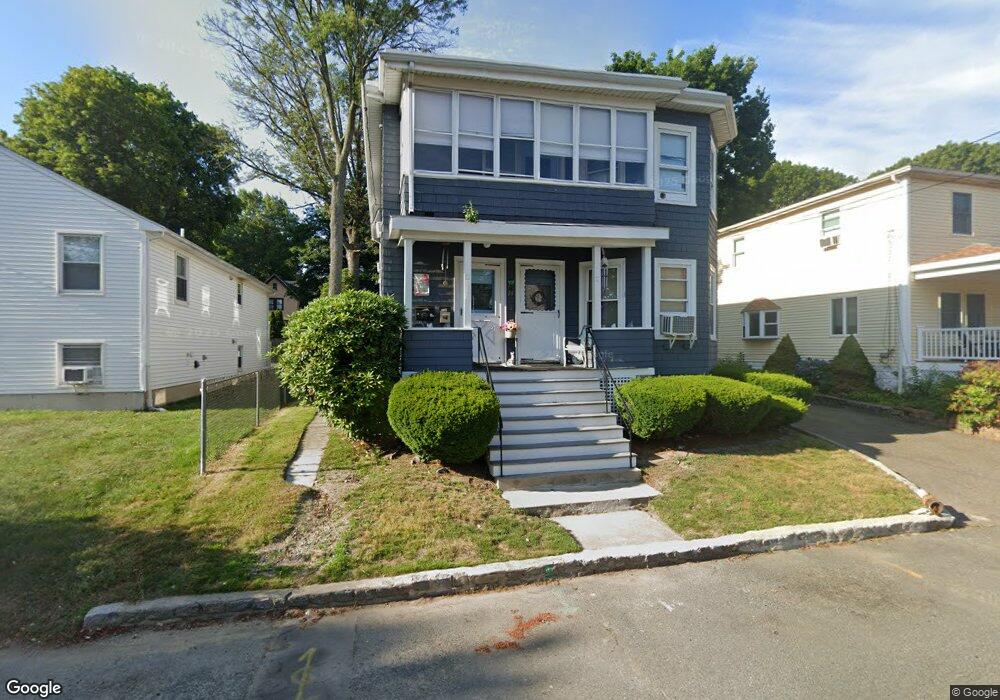
24 Auburn St Saugus, MA 01906
Downtown Saugus NeighborhoodEstimated Value: $736,000 - $859,000
2
Beds
2
Baths
2,356
Sq Ft
$340/Sq Ft
Est. Value
About This Home
This home is located at 24 Auburn St, Saugus, MA 01906 and is currently estimated at $801,845, approximately $340 per square foot. 24 Auburn St is a home located in Essex County with nearby schools including Saugus High School, Pioneer Charter School Of Science II, and Sacred Heart School.
Ownership History
Date
Name
Owned For
Owner Type
Purchase Details
Closed on
Apr 16, 2013
Sold by
Spofford Michael T and Cocca-Spofford Diane
Bought by
Sunny Cove Rt and Spofford Michael T
Current Estimated Value
Home Financials for this Owner
Home Financials are based on the most recent Mortgage that was taken out on this home.
Original Mortgage
$231,000
Outstanding Balance
$163,864
Interest Rate
3.58%
Mortgage Type
New Conventional
Estimated Equity
$637,981
Purchase Details
Closed on
Apr 8, 2013
Sold by
Sunny Cove Rt and Spofford Michael T
Bought by
Spofford Michael T and Cocca-Spofford Diane
Home Financials for this Owner
Home Financials are based on the most recent Mortgage that was taken out on this home.
Original Mortgage
$231,000
Outstanding Balance
$163,864
Interest Rate
3.58%
Mortgage Type
New Conventional
Estimated Equity
$637,981
Purchase Details
Closed on
Jan 23, 2009
Sold by
Cocca-Spofford Diane and Spofford Michael T
Bought by
Spofford Tr Michael T
Purchase Details
Closed on
Jul 29, 1999
Sold by
Dorothy Comfort Livt and Comfort Dorothy L
Bought by
Spofford Michael T and Cocca-Spofford Diane
Home Financials for this Owner
Home Financials are based on the most recent Mortgage that was taken out on this home.
Original Mortgage
$180,000
Interest Rate
7.61%
Mortgage Type
Purchase Money Mortgage
Create a Home Valuation Report for This Property
The Home Valuation Report is an in-depth analysis detailing your home's value as well as a comparison with similar homes in the area
Home Values in the Area
Average Home Value in this Area
Purchase History
| Date | Buyer | Sale Price | Title Company |
|---|---|---|---|
| Sunny Cove Rt | -- | -- | |
| Spofford Michael T | -- | -- | |
| Spofford Tr Michael T | -- | -- | |
| Spofford Michael T | $200,000 | -- |
Source: Public Records
Mortgage History
| Date | Status | Borrower | Loan Amount |
|---|---|---|---|
| Open | Spofford Michael T | $231,000 | |
| Previous Owner | Spofford Michael T | $196,000 | |
| Previous Owner | Spofford Michael T | $199,500 | |
| Previous Owner | Spofford Michael T | $180,000 |
Source: Public Records
Tax History Compared to Growth
Tax History
| Year | Tax Paid | Tax Assessment Tax Assessment Total Assessment is a certain percentage of the fair market value that is determined by local assessors to be the total taxable value of land and additions on the property. | Land | Improvement |
|---|---|---|---|---|
| 2025 | $7,838 | $733,900 | $314,500 | $419,400 |
| 2024 | $7,563 | $710,100 | $306,000 | $404,100 |
| 2023 | $7,179 | $637,600 | $267,800 | $369,800 |
| 2022 | $6,875 | $572,400 | $249,100 | $323,300 |
| 2021 | $6,379 | $516,900 | $206,600 | $310,300 |
| 2020 | $5,940 | $498,300 | $196,400 | $301,900 |
| 2019 | $5,519 | $453,100 | $187,000 | $266,100 |
| 2018 | $4,774 | $412,300 | $178,500 | $233,800 |
| 2017 | $4,609 | $382,500 | $170,000 | $212,500 |
| 2016 | $3,927 | $321,900 | $161,400 | $160,500 |
| 2015 | $3,685 | $306,600 | $153,700 | $152,900 |
| 2014 | $3,632 | $312,800 | $153,700 | $159,100 |
Source: Public Records
Map
Nearby Homes