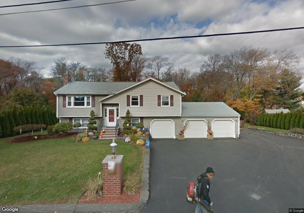
24 Barbara Cir Woburn, MA 01801
Mishawum NeighborhoodEstimated Value: $798,452 - $932,000
3
Beds
2
Baths
1,559
Sq Ft
$545/Sq Ft
Est. Value
About This Home
This home is located at 24 Barbara Cir, Woburn, MA 01801 and is currently estimated at $849,863, approximately $545 per square foot. 24 Barbara Cir is a home located in Middlesex County with nearby schools including Linscott-Rumford Elementary School, John F. Kennedy Middle School, and Woburn High School.
Ownership History
Date
Name
Owned For
Owner Type
Purchase Details
Closed on
Aug 18, 2005
Sold by
Alfred E Curtis Ret and Curtis
Bought by
Riccardi Michael H and Lembo Trisha A
Current Estimated Value
Home Financials for this Owner
Home Financials are based on the most recent Mortgage that was taken out on this home.
Original Mortgage
$351,000
Outstanding Balance
$184,385
Interest Rate
5.66%
Mortgage Type
Purchase Money Mortgage
Estimated Equity
$665,478
Purchase Details
Closed on
Oct 25, 2004
Sold by
Curtis Alfred E
Bought by
Alfred E Curtis Ret and Curtis
Create a Home Valuation Report for This Property
The Home Valuation Report is an in-depth analysis detailing your home's value as well as a comparison with similar homes in the area
Home Values in the Area
Average Home Value in this Area
Purchase History
| Date | Buyer | Sale Price | Title Company |
|---|---|---|---|
| Riccardi Michael H | $499,000 | -- | |
| Riccardi Michael H | $499,000 | -- | |
| Alfred E Curtis Ret | -- | -- | |
| Alfred E Curtis Ret | -- | -- |
Source: Public Records
Mortgage History
| Date | Status | Borrower | Loan Amount |
|---|---|---|---|
| Open | Riccardi Michael H | $351,000 | |
| Closed | Alfred E Curtis Ret | $351,000 | |
| Previous Owner | Alfred E Curtis Ret | $48,000 |
Source: Public Records
Tax History
| Year | Tax Paid | Tax Assessment Tax Assessment Total Assessment is a certain percentage of the fair market value that is determined by local assessors to be the total taxable value of land and additions on the property. | Land | Improvement |
|---|---|---|---|---|
| 2025 | $6,632 | $776,600 | $370,000 | $406,600 |
| 2024 | $6,118 | $759,100 | $352,500 | $406,600 |
| 2023 | $5,927 | $681,300 | $320,400 | $360,900 |
| 2022 | $5,720 | $612,400 | $278,900 | $333,500 |
| 2021 | $5,471 | $586,400 | $265,700 | $320,700 |
| 2020 | $5,341 | $573,100 | $265,700 | $307,400 |
| 2019 | $5,045 | $531,100 | $253,100 | $278,000 |
| 2018 | $4,716 | $476,800 | $232,400 | $244,400 |
| 2017 | $4,537 | $456,400 | $221,400 | $235,000 |
| 2016 | $4,331 | $430,900 | $207,100 | $223,800 |
| 2015 | $4,221 | $415,000 | $193,600 | $221,400 |
| 2014 | $4,030 | $386,000 | $193,600 | $192,400 |
Source: Public Records
Map
Nearby Homes
- 6 Callahan Dr
- 14 Woodside Terrace
- 9 Cottage St
- 0 Fryeburg Rd
- 13 West St
- 22 Longwood Ave
- 7 E Dexter Ave Unit 33
- 23 Ward St Unit A
- 45 Lowell St
- 44 Pearl St
- 40 Beach St
- 6 Kendal Dr
- 82 Lowell St
- 166 Place Ln Unit 166
- 380 Place Ln
- 1011 Main St Unit 5
- 3 Arborwood Dr
- 9 Winter St
- 14 Church Ave
- 1 Garvey Rd Unit 1
- 22 Barbara Cir
- 26 Barbara Cir
- 92 Forest Park Rd
- 19 Barbara Cir
- 90 Forest Park Rd
- 17 Barbara Cir
- 94 Forest Park Rd
- 1 Coyne Dr
- 50 Alfred St
- 18 Barbara Cir
- 91 Forest Park Rd
- 93 Forest Park Rd
- 6 Woodside Terrace
- 96 Forest Park Rd
- 89 Forest Park Rd
- 48 Alfred St
- 11 Barbara Cir
- 8 Woodside Terrace
- 2 Coyne Dr
- 98 Forest Park Rd
Your Personal Tour Guide
Ask me questions while you tour the home.