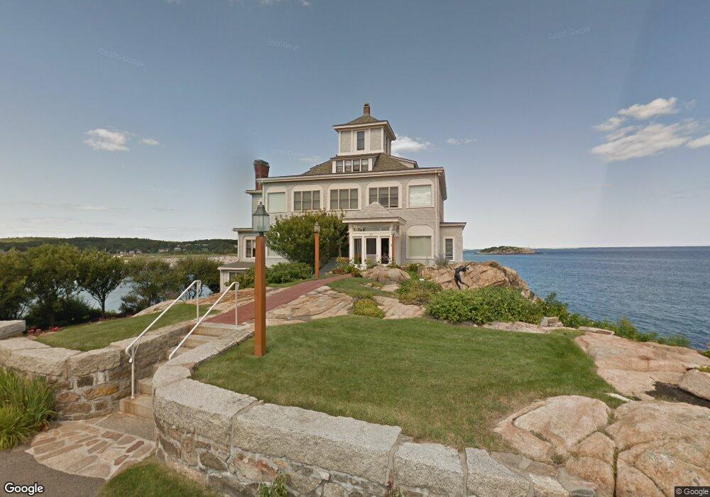
24 Bass Rocks Rd Gloucester, MA 01930
East Gloucester NeighborhoodEstimated Value: $5,253,000 - $5,967,054
6
Beds
5
Baths
3,600
Sq Ft
$1,558/Sq Ft
Est. Value
About This Home
This home is located at 24 Bass Rocks Rd, Gloucester, MA 01930 and is currently estimated at $5,610,027, approximately $1,558 per square foot. 24 Bass Rocks Rd is a home located in Essex County with nearby schools including East Gloucester Elementary School, Ralph B O'maley Middle School, and Gloucester High School.
Ownership History
Date
Name
Owned For
Owner Type
Purchase Details
Closed on
Aug 30, 2017
Sold by
Riverrun Llc
Bought by
Kristen N Hunt Ret and Hunt
Current Estimated Value
Purchase Details
Closed on
Nov 1, 1980
Bought by
White Harold J and White Lucette D
Create a Home Valuation Report for This Property
The Home Valuation Report is an in-depth analysis detailing your home's value as well as a comparison with similar homes in the area
Home Values in the Area
Average Home Value in this Area
Purchase History
| Date | Buyer | Sale Price | Title Company |
|---|---|---|---|
| Kristen N Hunt Ret | $4,400,000 | -- | |
| White Harold J | $241,000 | -- |
Source: Public Records
Mortgage History
| Date | Status | Borrower | Loan Amount |
|---|---|---|---|
| Previous Owner | White Harold J | $160,000 |
Source: Public Records
Tax History
| Year | Tax Paid | Tax Assessment Tax Assessment Total Assessment is a certain percentage of the fair market value that is determined by local assessors to be the total taxable value of land and additions on the property. | Land | Improvement |
|---|---|---|---|---|
| 2025 | $61,381 | $6,314,900 | $3,637,600 | $2,677,300 |
| 2024 | $59,762 | $6,142,000 | $3,464,700 | $2,677,300 |
| 2023 | $56,078 | $5,295,400 | $2,953,900 | $2,341,500 |
| 2022 | $54,242 | $4,624,200 | $2,570,500 | $2,053,700 |
| 2021 | $52,379 | $4,210,500 | $2,339,200 | $1,871,300 |
| 2020 | $46,358 | $3,759,800 | $2,339,200 | $1,420,600 |
| 2019 | $45,555 | $3,589,800 | $2,230,500 | $1,359,300 |
| 2018 | $39,431 | $3,049,600 | $2,020,600 | $1,029,000 |
| 2017 | $38,263 | $2,900,900 | $1,924,100 | $976,800 |
| 2016 | $37,354 | $2,744,600 | $1,853,800 | $890,800 |
| 2015 | $37,701 | $2,762,000 | $1,941,400 | $820,600 |
Source: Public Records
Map
Nearby Homes
- 87 Atlantic Rd Unit 2
- 78 Thatcher Rd Unit 6
- 25 Salt Island Rd
- 5 Wise Place
- 26 Marina Dr
- 30 Chapel St Unit B
- 36 Eastern Ave
- 197 E Main St Unit 1
- 197 E Main St Unit 2
- 160 Prospect St Unit 3
- 10 Seaview Rd
- 15 Mount Vernon St
- 73 Rocky Neck Ave Unit 2
- 19 Trask St Unit 2
- 11 Ocean View Dr
- 191 Main St Unit 3
- 191 Main St Unit 2A
- 148 Long Beach
- 113 Pleasant St
- 40 Sargent St
- 24 Bass Rocks Rd
- 27 Bass Rocks Rd
- 20 Nautilus Rd
- 38 Bass Rocks Rd
- 9 Bass Rocks Rd
- 7 Bass Rocks Rd
- 21 Nautilus Rd
- 2 Harbor Rd
- 6 Bass Rocks Rd
- 6 Bass Rocks Rd Unit 1
- 2 Bass Rocks Rd
- 2 Bass Rocks Rd Unit 3
- 4 Harbor Rd
- 4 Harbor Rd Unit 1
- 30 Atlantic Rd
- 28 Atlantic Rd
- 39 Atlantic Rd
- 6 Harbor Rd
- 1 Harbor Rd
- 43 Atlantic Rd
Your Personal Tour Guide
Ask me questions while you tour the home.