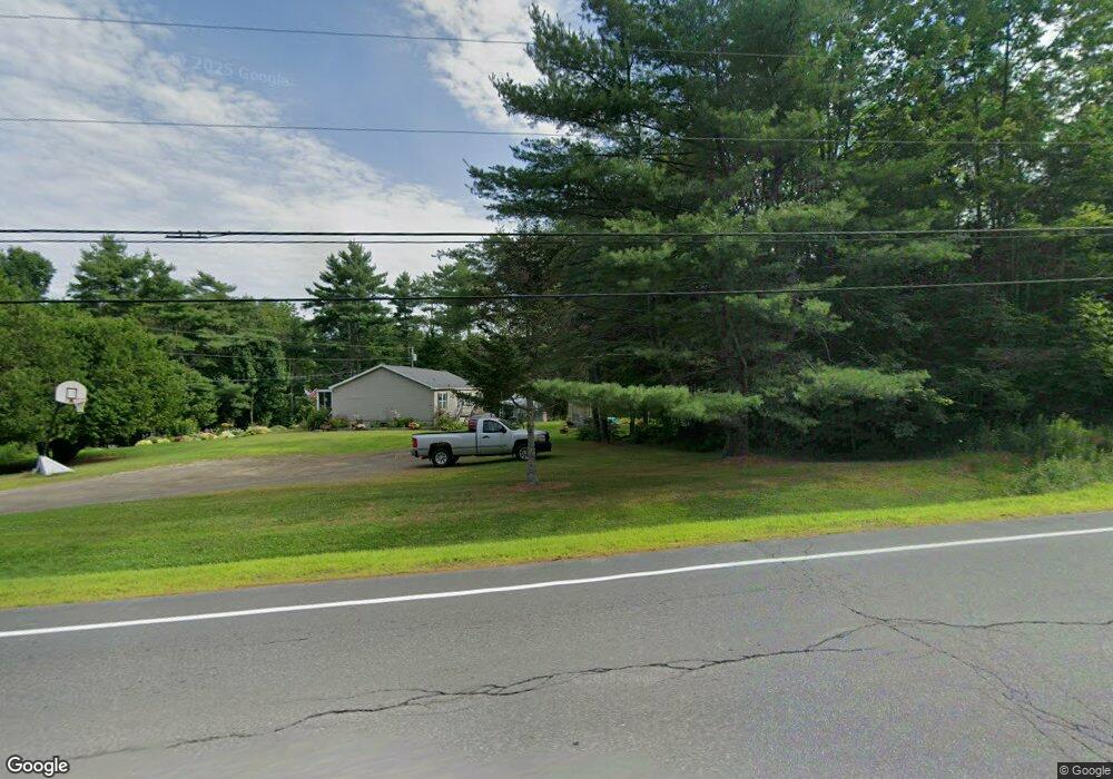
24 Belfast Rd Albion, ME 04910
Estimated Value: $151,895 - $268,000
--
Bed
--
Bath
--
Sq Ft
14
Acres
About This Home
This home is located at 24 Belfast Rd, Albion, ME 04910 and is currently estimated at $220,224. 24 Belfast Rd is a home with nearby schools including Lawrence High School.
Ownership History
Date
Name
Owned For
Owner Type
Purchase Details
Closed on
Apr 5, 2016
Sold by
Bucklin Thomas and Bucklin Gail
Bought by
Corey Timothy R
Current Estimated Value
Home Financials for this Owner
Home Financials are based on the most recent Mortgage that was taken out on this home.
Original Mortgage
$90,000
Outstanding Balance
$65,095
Interest Rate
3.65%
Mortgage Type
Commercial
Estimated Equity
$155,129
Create a Home Valuation Report for This Property
The Home Valuation Report is an in-depth analysis detailing your home's value as well as a comparison with similar homes in the area
Home Values in the Area
Average Home Value in this Area
Purchase History
| Date | Buyer | Sale Price | Title Company |
|---|---|---|---|
| Corey Timothy R | -- | -- |
Source: Public Records
Mortgage History
| Date | Status | Borrower | Loan Amount |
|---|---|---|---|
| Open | Corey Timothy R | $90,000 |
Source: Public Records
Tax History Compared to Growth
Tax History
| Year | Tax Paid | Tax Assessment Tax Assessment Total Assessment is a certain percentage of the fair market value that is determined by local assessors to be the total taxable value of land and additions on the property. | Land | Improvement |
|---|---|---|---|---|
| 2024 | $1,734 | $110,800 | $57,900 | $52,900 |
| 2023 | $1,613 | $113,200 | $57,900 | $55,300 |
| 2022 | $1,462 | $88,100 | $44,200 | $43,900 |
| 2021 | $1,584 | $90,000 | $44,200 | $45,800 |
| 2020 | $1,613 | $91,900 | $44,200 | $47,700 |
| 2019 | $1,562 | $93,800 | $44,200 | $49,600 |
| 2018 | $1,560 | $95,700 | $44,200 | $51,500 |
| 2017 | $1,562 | $97,600 | $44,200 | $53,400 |
| 2016 | $1,566 | $99,400 | $44,200 | $55,200 |
| 2015 | $1,570 | $101,300 | $44,200 | $57,100 |
| 2014 | $1,548 | $103,200 | $44,200 | $59,000 |
| 2013 | $1,524 | $105,100 | $44,200 | $60,900 |
Source: Public Records
Map
Nearby Homes
- 26 Unity Rd
- 17 Main St
- 253 Benton Rd
- 12 Country View Ln
- 141 Albion Rd
- Lot 10 Maine 137
- 256 Waning Rd
- 45 Marden Shore Rd
- 118 Marden Shore Rd
- 61 Pond Rd
- Lot 3-3 Bryant Rd
- Lot 3-1 Bryant Rd
- M5 L27-3 Marks Rd
- 92 Waning Rd
- Lot #58 S Vigue Shore Rd
- TBD Pond Rd
- M8 L19 U S Highway 202
- 187 Richards Rd
- 88 Drake Hill Rd
- 19-04 Acorn Ln
- 33 Belfast Rd
- 10 Knights Rd
- 58 Belfast Rd
- 0 Knights Rd Unit 255108
- 0 Knights Rd Unit 255107
- 0 Knights Rd Unit 1567687
- 0 Knights Rd Unit 255106
- 0 Knights Rd Unit 572821
- 0 Knights Rd Unit 572823
- 0 Knights Rd Unit 231116
- 0 Knights Rd Unit 302873
- 0 Knights Rd Unit 1131489
- 22 Knights Rd
- 366 Unity Rd
- 446 Unity Rd
- 338 Unity Rd
- 31 Knights Rd
- 80 Belfast Rd
- 41 Knights Rd
- 88 Belfast Rd