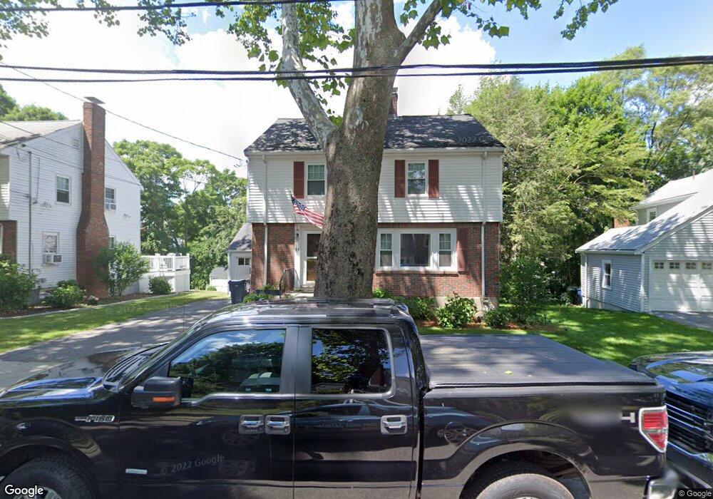
24 Carlson Cir West Roxbury, MA 02132
West Roxbury NeighborhoodEstimated Value: $872,000 - $1,070,000
3
Beds
2
Baths
1,806
Sq Ft
$531/Sq Ft
Est. Value
About This Home
This home is located at 24 Carlson Cir, West Roxbury, MA 02132 and is currently estimated at $959,156, approximately $531 per square foot. 24 Carlson Cir is a home located in Suffolk County with nearby schools including Holy Name Parish School, St Theresa School, and The Roxbury Latin School.
Ownership History
Date
Name
Owned For
Owner Type
Purchase Details
Closed on
Feb 23, 2006
Sold by
Louis Fink T
Bought by
Mcnaney David J and Mcnaney Elissa M
Current Estimated Value
Home Financials for this Owner
Home Financials are based on the most recent Mortgage that was taken out on this home.
Original Mortgage
$332,500
Outstanding Balance
$186,851
Interest Rate
6.17%
Mortgage Type
Purchase Money Mortgage
Estimated Equity
$772,305
Create a Home Valuation Report for This Property
The Home Valuation Report is an in-depth analysis detailing your home's value as well as a comparison with similar homes in the area
Home Values in the Area
Average Home Value in this Area
Purchase History
| Date | Buyer | Sale Price | Title Company |
|---|---|---|---|
| Mcnaney David J | $475,000 | -- |
Source: Public Records
Mortgage History
| Date | Status | Borrower | Loan Amount |
|---|---|---|---|
| Open | Mcnaney David J | $332,500 |
Source: Public Records
Tax History Compared to Growth
Tax History
| Year | Tax Paid | Tax Assessment Tax Assessment Total Assessment is a certain percentage of the fair market value that is determined by local assessors to be the total taxable value of land and additions on the property. | Land | Improvement |
|---|---|---|---|---|
| 2025 | $8,556 | $738,900 | $245,500 | $493,400 |
| 2024 | $8,345 | $765,600 | $271,800 | $493,800 |
| 2023 | $7,755 | $722,100 | $256,400 | $465,700 |
| 2022 | $7,141 | $656,300 | $233,000 | $423,300 |
| 2021 | $6,610 | $619,500 | $224,100 | $395,400 |
| 2020 | $6,200 | $587,100 | $192,100 | $395,000 |
| 2019 | $5,782 | $548,600 | $159,700 | $388,900 |
| 2018 | $5,529 | $527,600 | $159,700 | $367,900 |
| 2017 | $5,530 | $522,200 | $159,700 | $362,500 |
| 2016 | $5,369 | $488,100 | $159,700 | $328,400 |
| 2015 | $5,303 | $437,900 | $174,800 | $263,100 |
| 2014 | $5,197 | $413,100 | $174,800 | $238,300 |
Source: Public Records
Map
Nearby Homes
- 36 Courtney Rd
- 10 Burwell Rd
- 170 Payson Rd
- 24 Burrwood Rd
- 100 Russett Rd
- 102 Greaton Rd
- 14 Ravenna Rd
- 72 Theodore Parker Rd
- 83 Payson Rd
- 208 South St
- 1487 Centre St Unit 1
- 76 Redlands Rd
- 50 Hackensack Rd
- 1690 Centre St Unit 2
- 206 Allandale Rd Unit 3C
- 43 Ainsworth St Unit 2
- 173 South St
- 214 Allandale Rd Unit B
- 1789 Centre St Unit 202
- 1789 Centre St Unit 301