24 Cat Path Gilford, NH 03249
Estimated Value: $526,000 - $703,000
4
Beds
2
Baths
1,802
Sq Ft
$347/Sq Ft
Est. Value
About This Home
This home is located at 24 Cat Path, Gilford, NH 03249 and is currently estimated at $625,506, approximately $347 per square foot. 24 Cat Path is a home located in Belknap County with nearby schools including Gilford Elementary School, Gilford Middle School, and Gilford High School.
Ownership History
Date
Name
Owned For
Owner Type
Purchase Details
Closed on
Apr 12, 2017
Sold by
Lofblad Corey L
Bought by
Corey L Lofblad 2005 T
Current Estimated Value
Purchase Details
Closed on
Mar 27, 2009
Sold by
Boulanger Robert J and Boulanger Sandra J
Bought by
Lofblad Corey J
Home Financials for this Owner
Home Financials are based on the most recent Mortgage that was taken out on this home.
Original Mortgage
$127,000
Interest Rate
5.14%
Mortgage Type
Purchase Money Mortgage
Create a Home Valuation Report for This Property
The Home Valuation Report is an in-depth analysis detailing your home's value as well as a comparison with similar homes in the area
Home Values in the Area
Average Home Value in this Area
Purchase History
| Date | Buyer | Sale Price | Title Company |
|---|---|---|---|
| Corey L Lofblad 2005 T | -- | -- | |
| Lofblad Corey J | $267,000 | -- |
Source: Public Records
Mortgage History
| Date | Status | Borrower | Loan Amount |
|---|---|---|---|
| Previous Owner | Lofblad Corey J | $49,500 | |
| Previous Owner | Lofblad Corey J | $127,000 |
Source: Public Records
Tax History Compared to Growth
Tax History
| Year | Tax Paid | Tax Assessment Tax Assessment Total Assessment is a certain percentage of the fair market value that is determined by local assessors to be the total taxable value of land and additions on the property. | Land | Improvement |
|---|---|---|---|---|
| 2024 | $5,834 | $518,560 | $179,460 | $339,100 |
| 2023 | $5,341 | $518,560 | $179,460 | $339,100 |
| 2022 | $4,660 | $380,430 | $111,430 | $269,000 |
| 2021 | $4,672 | $380,430 | $111,430 | $269,000 |
| 2020 | $4,332 | $288,230 | $67,830 | $220,400 |
| 2019 | $4,380 | $276,150 | $57,450 | $218,700 |
| 2018 | $3,868 | $227,020 | $48,220 | $178,800 |
| 2017 | $3,918 | $227,020 | $48,220 | $178,800 |
| 2016 | $3,836 | $213,720 | $52,020 | $161,700 |
| 2015 | $3,884 | $216,120 | $52,020 | $164,100 |
| 2011 | $4,092 | $220,590 | $78,290 | $142,300 |
Source: Public Records
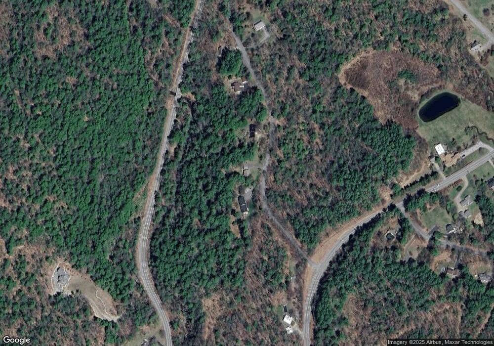
Map
Nearby Homes
- 31 Henderson Rd Unit 17
- 16 Hampshire Dr
- 343 Old Lake Shore Rd Unit 17
- 119 Cherry Valley Rd
- 14 Curtis Rd
- 320 Old Lake Shore Rd Unit 3
- 102 Curtis Rd
- 235 Chestnut Dr
- 134 Chestnut Dr
- 18 Balsam Dr
- 252 Chestnut Dr
- 12 Balsam Dr
- 56 Foxglove Rd
- 9 Chestnut Dr
- 60 Weirs Rd Unit D2
- 12 Wildwood Rd
- 22 Silver St
- 73 Weirs Rd
- 214 Sagamore Rd
- 73 Weirs Slip I-22
- 16 Cat Path
- 34 Cat Path
- 101 Intervale Rd
- 42 Cat Path
- 0 Route 11b Unit 4474600
- 0 Route 11b Unit G-2 70026249
- 56 Cat Path
- 55 Cat Path
- 75 Intervale Rd
- 230 Cherry Valley Rd
- 1 Northview Rd
- 220 Cherry Valley Rd
- 9 Northview Rd
- 66 Intervale Rd
- 282 Cherry Valley Rd
- 10 Henderson Rd
- 10 Northview Rd
- 00 Intervale Rd
- 65 Intervale Rd
- 15 Northview Rd