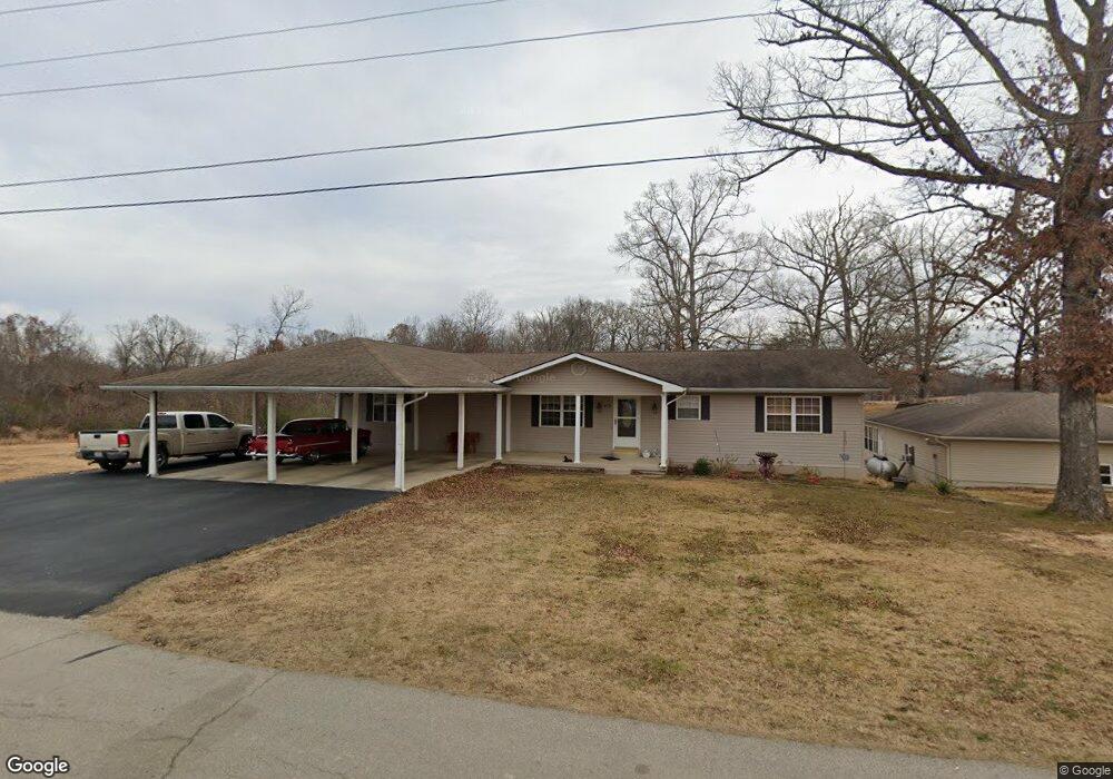
24 County Road 4681 Poplar Bluff, MO 63901
Estimated Value: $186,000 - $288,000
--
Bed
--
Bath
3,726
Sq Ft
$67/Sq Ft
Est. Value
About This Home
This home is located at 24 County Road 4681, Poplar Bluff, MO 63901 and is currently estimated at $249,013, approximately $66 per square foot. 24 County Road 4681 is a home with nearby schools including Eugene Field Elementary School, Poplar Bluff Fifth & Sixth Grade Center, and Poplar Bluff Junior High School.
Ownership History
Date
Name
Owned For
Owner Type
Purchase Details
Closed on
Dec 12, 2017
Sold by
Armor Timothy L
Bought by
Armor Rick D and Armor Rickie
Current Estimated Value
Purchase Details
Closed on
Jun 18, 2010
Sold by
Bridgewater Timothy and Bridgewater Cheryl
Bought by
Armor Rickie D and Armor Pamela G
Home Financials for this Owner
Home Financials are based on the most recent Mortgage that was taken out on this home.
Original Mortgage
$60,600
Outstanding Balance
$40,378
Interest Rate
4.93%
Mortgage Type
Future Advance Clause Open End Mortgage
Estimated Equity
$208,635
Purchase Details
Closed on
Aug 15, 2006
Sold by
Kee Mary F and Kee Cecil E
Bought by
Armor Rickie D and Armor Pamela G
Create a Home Valuation Report for This Property
The Home Valuation Report is an in-depth analysis detailing your home's value as well as a comparison with similar homes in the area
Home Values in the Area
Average Home Value in this Area
Purchase History
| Date | Buyer | Sale Price | Title Company |
|---|---|---|---|
| Armor Rick D | -- | None Available | |
| Armor Rickie D | -- | -- | |
| Armor Rickie D | -- | -- |
Source: Public Records
Mortgage History
| Date | Status | Borrower | Loan Amount |
|---|---|---|---|
| Open | Armor Rickie D | $60,600 |
Source: Public Records
Tax History Compared to Growth
Tax History
| Year | Tax Paid | Tax Assessment Tax Assessment Total Assessment is a certain percentage of the fair market value that is determined by local assessors to be the total taxable value of land and additions on the property. | Land | Improvement |
|---|---|---|---|---|
| 2024 | $14 | $31,100 | $0 | $0 |
| 2023 | $1,385 | $31,100 | $0 | $0 |
| 2022 | $1,337 | $30,080 | $0 | $0 |
| 2021 | $1,338 | $30,080 | $0 | $0 |
| 2020 | $1,291 | $28,590 | $0 | $0 |
| 2019 | $1,290 | $28,590 | $0 | $0 |
| 2018 | $1,290 | $28,590 | $0 | $0 |
| 2017 | -- | $28,590 | $0 | $0 |
| 2016 | -- | $24,740 | $0 | $0 |
| 2015 | -- | $15,620 | $0 | $0 |
| 2014 | -- | $14,640 | $0 | $0 |
| 2012 | $558 | $14,640 | $0 | $0 |
Source: Public Records
Map
Nearby Homes
- 163 Fairway Dr
- 112 Kaylee Cir
- 2801 Bedoll Ave
- 2925 Wayne Ave
- 2718 Bedoll Ave
- 2024 Glendale Rd
- 0 County Road 301
- 792 County Road 466
- 1487 County Road 467
- 5041 Linwood Dr
- Lot 1 W Highland Cir
- Lot 3 W Highland Cir
- Lot 2 W Highland Cir
- 0 Lot 59 Legacy Estates
- 325 County Road 467
- 0 Estates
- 0 Lot 23 Legacy Estates
- 0 Lot 62 Legacy Estates
- 1110 Commerce St
- 257 Berkshire Dr
- 19 County Road 4681
- 29 County Road 4681
- 38 N of County Rd 468
- 59 County Road 4681
- 37 County Road 4681
- 82 County Road 4861
- 563 County Road 468
- 82 County Road 4681
- 93 County Road 4681
- 397 County Road 468
- 152 Cr 4681
- 152 County Road 4681
- 761 County Road 468
- 409 County Road 468
- 469 County Road 468
- 777 County Road 468
- 21 Alyssa Ln
- 15 Alyssa Ln
- 17 Alyssa Ln
- 20 Alyssa Ln