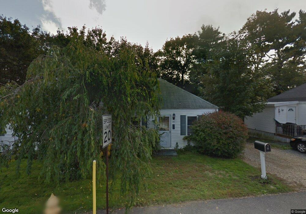
24 Cromwell St Kittery, ME 03904
Estimated Value: $527,617 - $658,000
4
Beds
2
Baths
1,550
Sq Ft
$377/Sq Ft
Est. Value
About This Home
This home is located at 24 Cromwell St, Kittery, ME 03904 and is currently estimated at $584,404, approximately $377 per square foot. 24 Cromwell St is a home with nearby schools including Shapleigh School, Horace Mitchell Primary School, and Robert W Traip Academy.
Ownership History
Date
Name
Owned For
Owner Type
Purchase Details
Closed on
Jan 25, 2022
Sold by
Durgin-Proulx Diane
Bought by
Northeast Hldg & Dev Llc
Current Estimated Value
Purchase Details
Closed on
Aug 3, 2015
Sold by
Shejen Ft
Bought by
Hodgman Tracy
Home Financials for this Owner
Home Financials are based on the most recent Mortgage that was taken out on this home.
Original Mortgage
$224,730
Interest Rate
3.97%
Mortgage Type
New Conventional
Create a Home Valuation Report for This Property
The Home Valuation Report is an in-depth analysis detailing your home's value as well as a comparison with similar homes in the area
Home Values in the Area
Average Home Value in this Area
Purchase History
| Date | Buyer | Sale Price | Title Company |
|---|---|---|---|
| Northeast Hldg & Dev Llc | $260,000 | None Available | |
| Hodgman Tracy | -- | -- |
Source: Public Records
Mortgage History
| Date | Status | Borrower | Loan Amount |
|---|---|---|---|
| Previous Owner | Hodgman Tracy | $224,730 |
Source: Public Records
Tax History Compared to Growth
Tax History
| Year | Tax Paid | Tax Assessment Tax Assessment Total Assessment is a certain percentage of the fair market value that is determined by local assessors to be the total taxable value of land and additions on the property. | Land | Improvement |
|---|---|---|---|---|
| 2024 | $4,253 | $299,500 | $123,700 | $175,800 |
| 2023 | $3,424 | $251,600 | $123,700 | $127,900 |
| 2022 | $3,392 | $251,600 | $123,700 | $127,900 |
| 2021 | $3,271 | $251,600 | $123,700 | $127,900 |
| 2020 | $3,246 | $251,600 | $123,700 | $127,900 |
| 2019 | $3,287 | $188,900 | $71,600 | $117,300 |
| 2018 | $3,174 | $188,900 | $71,600 | $117,300 |
| 2017 | $3,117 | $188,900 | $71,600 | $117,300 |
| 2016 | $3,032 | $188,900 | $71,600 | $117,300 |
| 2015 | $2,960 | $188,900 | $71,600 | $117,300 |
| 2014 | $2,932 | $188,900 | $71,600 | $117,300 |
| 2013 | -- | $188,900 | $71,600 | $117,300 |
Source: Public Records
Map
Nearby Homes
- 2 Wainwright Ave
- 12 Gillis Dr Unit 3
- 10-12 Pine St
- 165 Rogers Rd
- 205 Whipple Rd
- 100 Shepards Cove Rd Unit F204
- 100 Shepards Cove Rd Unit G204
- 8 Spruce Point Rd
- 197 State Rd
- 299 Haley Rd
- 8 Water St Unit 2
- 8 Water St Unit 1
- 20 Mendum Ave
- 35 Badgers Island W Unit 203
- 35 Badgers Island W Unit 301
- 35 Badgers Island W Unit 204
- 35 Badgers Island W Unit 103
- 35 Badgers Island W Unit 102
- 5 Spinney Way Unit 9
- 27 Oak Terrace