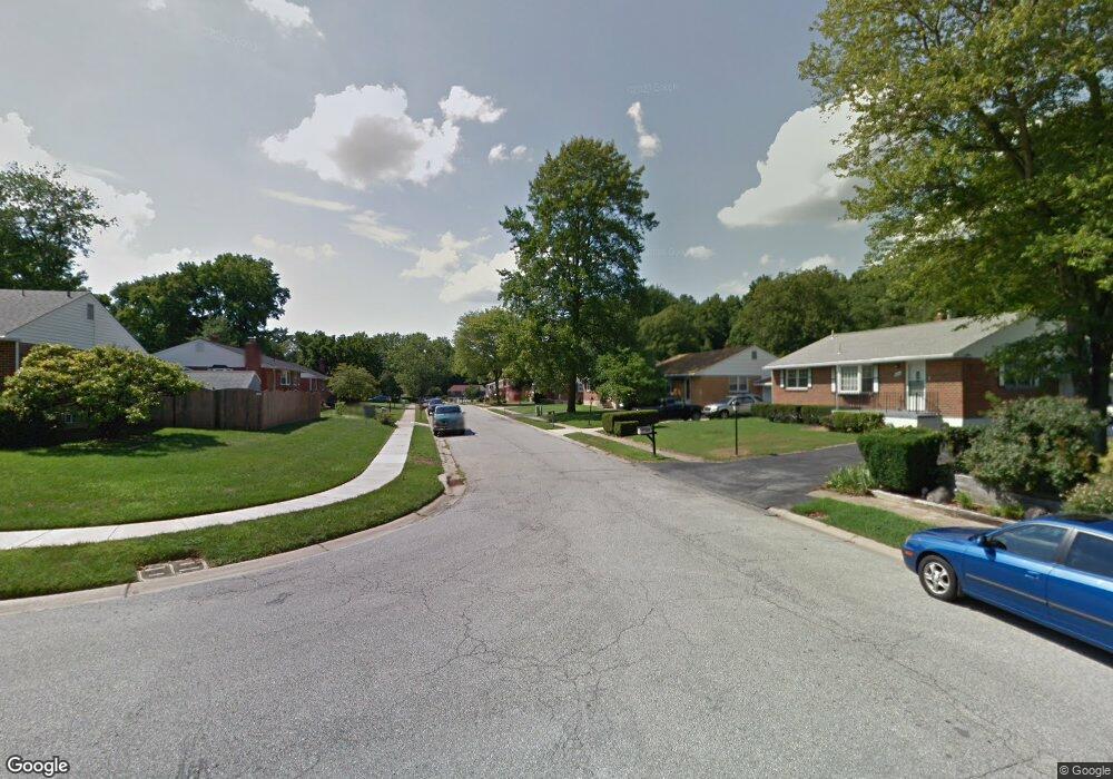
24 Dempsey Dr Newark, DE 19713
Estimated Value: $357,000 - $435,000
3
Beds
2
Baths
1,506
Sq Ft
$256/Sq Ft
Est. Value
About This Home
This home is located at 24 Dempsey Dr, Newark, DE 19713 and is currently estimated at $385,297, approximately $255 per square foot. 24 Dempsey Dr is a home located in New Castle County with nearby schools including Smith (Jennie E.) Elementary School, Kirk (George V.) Middle School, and Christiana High School.
Ownership History
Date
Name
Owned For
Owner Type
Purchase Details
Closed on
Jan 10, 2007
Sold by
Lasure Rickey R and Ketchum Stanley D
Bought by
Ketchum Stanley D
Current Estimated Value
Home Financials for this Owner
Home Financials are based on the most recent Mortgage that was taken out on this home.
Original Mortgage
$195,000
Outstanding Balance
$111,928
Interest Rate
6.15%
Mortgage Type
Purchase Money Mortgage
Estimated Equity
$273,369
Purchase Details
Closed on
Sep 27, 2001
Sold by
Richard David S and Richard Martha G
Bought by
Lasure Rickey R and Ketchum Stanley D
Home Financials for this Owner
Home Financials are based on the most recent Mortgage that was taken out on this home.
Original Mortgage
$133,841
Interest Rate
6.89%
Mortgage Type
FHA
Create a Home Valuation Report for This Property
The Home Valuation Report is an in-depth analysis detailing your home's value as well as a comparison with similar homes in the area
Home Values in the Area
Average Home Value in this Area
Purchase History
We collect this data history from publicly available records. To have your information removed, we recommend requesting removal directly through your county’s website.
| Date | Buyer | Sale Price | Title Company |
|---|---|---|---|
| Ketchum Stanley D | $125,000 | None Available | |
| Lasure Rickey R | $134,900 | -- |
Source: Public Records
Mortgage History
We collect this data history from publicly available records. To have your information removed, we recommend requesting removal directly through your county’s website.
| Date | Status | Borrower | Loan Amount |
|---|---|---|---|
| Open | Ketchum Stanley D | $195,000 | |
| Previous Owner | Lasure Rickey R | $133,841 |
Source: Public Records
Tax History
| Year | Tax Paid | Tax Assessment Tax Assessment Total Assessment is a certain percentage of the fair market value that is determined by local assessors to be the total taxable value of land and additions on the property. | Land | Improvement |
|---|---|---|---|---|
| 2025 | $2,331 | $347,800 | $66,500 | $281,300 |
| 2024 | $2,123 | $61,600 | $12,200 | $49,400 |
| 2023 | $2,551 | $61,600 | $12,200 | $49,400 |
| 2022 | $2,545 | $61,600 | $12,200 | $49,400 |
| 2021 | $2,427 | $61,600 | $12,200 | $49,400 |
| 2020 | $2,427 | $61,600 | $12,200 | $49,400 |
| 2019 | $2,440 | $61,600 | $12,200 | $49,400 |
| 2018 | $2,088 | $61,600 | $12,200 | $49,400 |
| 2017 | $2,014 | $61,600 | $12,200 | $49,400 |
| 2016 | $2,009 | $61,600 | $12,200 | $49,400 |
| 2015 | $1,830 | $61,600 | $12,200 | $49,400 |
| 2014 | $1,830 | $61,600 | $12,200 | $49,400 |
Source: Public Records
Map
Nearby Homes
- 2 Merion Rd
- 3 Marlyn Rd
- 12 Granville Ln
- 3 Granville Ln
- 63 W Stephen Dr
- 1025 S Gerald Dr
- 132 Melodic Dr
- 602 Shue Dr
- 91 Old Red Mill Rd
- 202 Coral Reef Dr
- 4 Pinedale Rd
- 17 Pearson Dr
- 121 Flintlock Rd
- 4 Martell Rd
- 214 Darwin Dr
- 135 Salem Church Rd
- 3 Queens Way
- 101 N Brownleaf Rd
- 214 Bluefield Rd
- 6 Lynch Farm Dr
Your Personal Tour Guide
Ask me questions while you tour the home.