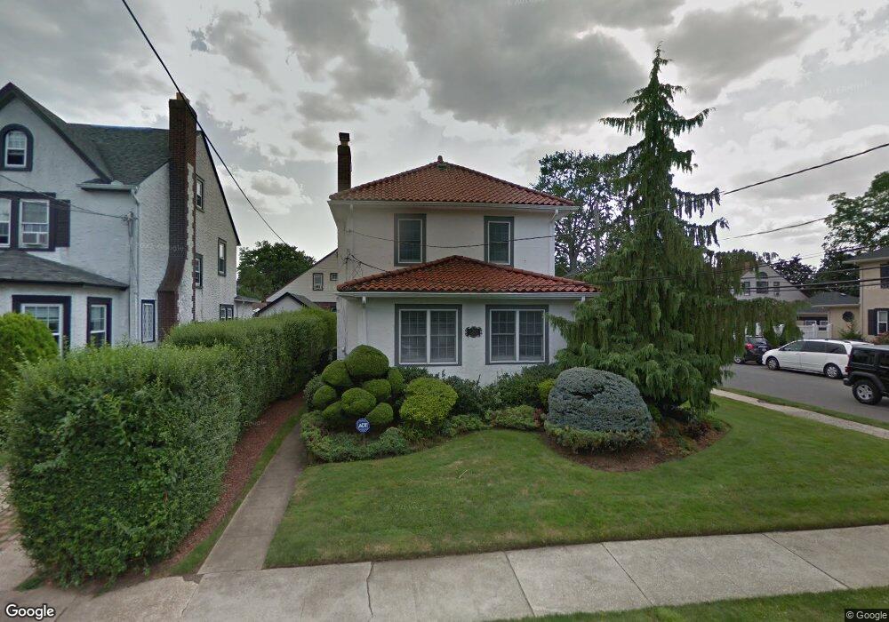
24 Durland Rd Lynbrook, NY 11563
Estimated Value: $832,375 - $889,000
3
Beds
3
Baths
1,827
Sq Ft
$471/Sq Ft
Est. Value
About This Home
This home is located at 24 Durland Rd, Lynbrook, NY 11563 and is currently estimated at $860,688, approximately $471 per square foot. 24 Durland Rd is a home located in Nassau County with nearby schools including Lynbrook Senior High School and Our Lady Of Peace School.
Ownership History
Date
Name
Owned For
Owner Type
Purchase Details
Closed on
Feb 28, 2011
Sold by
Feuerstein Joseph R
Bought by
Marshall Wayne T and Marshall Maria Mauri
Current Estimated Value
Home Financials for this Owner
Home Financials are based on the most recent Mortgage that was taken out on this home.
Original Mortgage
$351,200
Outstanding Balance
$244,132
Interest Rate
5.04%
Mortgage Type
Purchase Money Mortgage
Estimated Equity
$616,556
Create a Home Valuation Report for This Property
The Home Valuation Report is an in-depth analysis detailing your home's value as well as a comparison with similar homes in the area
Home Values in the Area
Average Home Value in this Area
Purchase History
| Date | Buyer | Sale Price | Title Company |
|---|---|---|---|
| Marshall Wayne T | $439,000 | -- |
Source: Public Records
Mortgage History
| Date | Status | Borrower | Loan Amount |
|---|---|---|---|
| Open | Marshall Wayne T | $351,200 |
Source: Public Records
Tax History Compared to Growth
Tax History
| Year | Tax Paid | Tax Assessment Tax Assessment Total Assessment is a certain percentage of the fair market value that is determined by local assessors to be the total taxable value of land and additions on the property. | Land | Improvement |
|---|---|---|---|---|
| 2025 | $11,628 | $504 | $178 | $326 |
| 2024 | $1,070 | $520 | $184 | $336 |
| 2023 | $10,847 | $554 | $195 | $359 |
| 2022 | $10,847 | $535 | $189 | $346 |
| 2021 | $13,619 | $572 | $179 | $393 |
| 2020 | $9,703 | $681 | $480 | $201 |
| 2019 | $10,538 | $681 | $450 | $231 |
| 2018 | $8,241 | $727 | $0 | $0 |
| 2017 | $7,210 | $772 | $453 | $319 |
| 2016 | $8,326 | $818 | $447 | $371 |
| 2015 | $1,281 | $863 | $375 | $488 |
| 2014 | $1,281 | $863 | $375 | $488 |
| 2013 | $1,196 | $878 | $381 | $497 |
Source: Public Records
Map
Nearby Homes
- 99 Durland Rd
- 221 Somerset Dr
- 161 Union Ave Unit 9
- 16A Murdock Rd
- 10 Cornell Place
- 33 Prospect Ave
- 33 Starks Place
- 1 Howland Rd
- 11 Duryea Place
- 73 Peterson Place
- 596 Broadway Unit 14B
- 596 Broadway Unit 16B
- 85 Oakland Ave
- 287 E Rockaway Rd
- 262 Channon Rd
- 51 Davison Ave
- 1594 Union Ave
- 16 Maiden Ln
- 10 Bulaire Rd
- 16 Farnum St
- 30 Durland Rd
- 9 Dunne Place
- 9 Dunne Place Unit 2
- 9 Dunne Place Unit 1
- 34 Durland Rd
- 4 Dunne Place
- 15 Dunne Place
- 10 Fenton Place
- 38 Durland Rd
- 10 Dunne Place
- 10 Durland Rd
- 23 Durland Rd
- 29 Durland Rd
- 17 Durland Rd
- 14 Fenton Place
- 21 Dunne Place
- 14 Dunne Place
- 33 Durland Rd
- 11 Durland Rd
- 9 Durland Rd