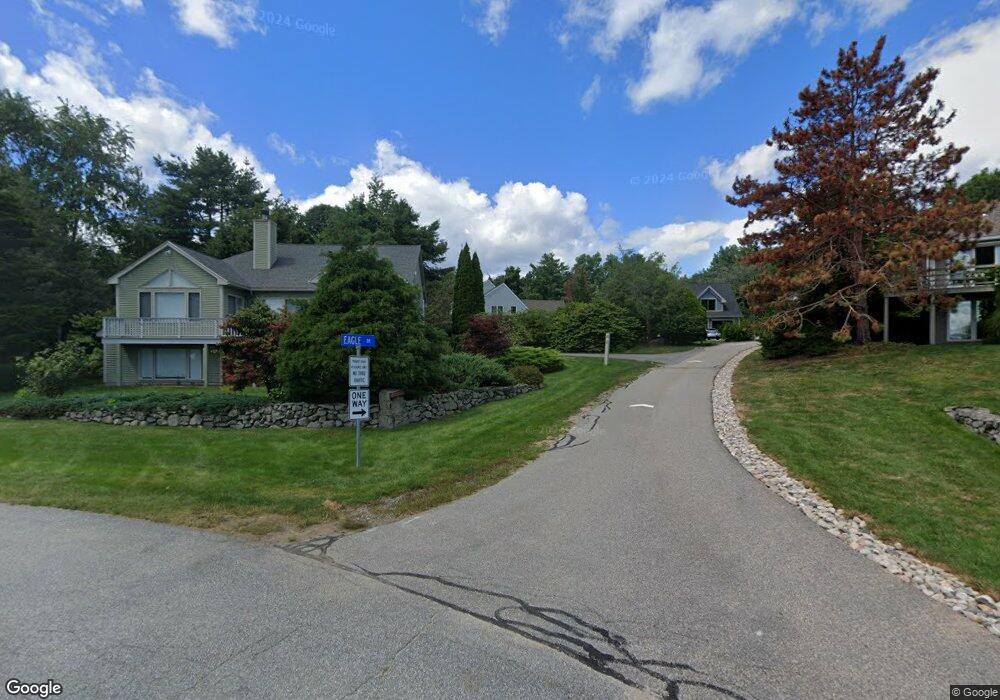
24 Eagle Dr Newmarket, NH 03857
Estimated Value: $808,336 - $1,192,000
3
Beds
3
Baths
1,596
Sq Ft
$618/Sq Ft
Est. Value
About This Home
This home is located at 24 Eagle Dr, Newmarket, NH 03857 and is currently estimated at $986,584, approximately $618 per square foot. 24 Eagle Dr is a home located in Rockingham County with nearby schools including Newmarket Elementary School, Newmarket Junior High School, and Newmarket Senior High School.
Ownership History
Date
Name
Owned For
Owner Type
Purchase Details
Closed on
Jan 19, 2022
Sold by
Remingnanti Drew C and Johnson Darby R
Bought by
Johnson Darby R
Current Estimated Value
Purchase Details
Closed on
Jun 20, 2019
Sold by
Hill At Moody Point
Bought by
Remingnanti Drew C and Johnson Darby R
Purchase Details
Closed on
Apr 14, 2000
Sold by
Coward Raymond T and Coward Andrea S
Bought by
Remignanti Drew C
Home Financials for this Owner
Home Financials are based on the most recent Mortgage that was taken out on this home.
Original Mortgage
$252,000
Interest Rate
8.26%
Mortgage Type
Purchase Money Mortgage
Purchase Details
Closed on
Jul 31, 1997
Sold by
Collins Edmund M and Collins Mary M
Bought by
Coward Raymond T and Coward Andrea S
Create a Home Valuation Report for This Property
The Home Valuation Report is an in-depth analysis detailing your home's value as well as a comparison with similar homes in the area
Home Values in the Area
Average Home Value in this Area
Purchase History
| Date | Buyer | Sale Price | Title Company |
|---|---|---|---|
| Johnson Darby R | -- | None Available | |
| Remingnanti Drew C | -- | -- | |
| Remignanti Drew C | $281,000 | -- | |
| Coward Raymond T | $194,000 | -- |
Source: Public Records
Mortgage History
| Date | Status | Borrower | Loan Amount |
|---|---|---|---|
| Previous Owner | Coward Raymond T | $290,000 | |
| Previous Owner | Coward Raymond T | $290,000 | |
| Previous Owner | Coward Raymond T | $290,000 | |
| Previous Owner | Coward Raymond T | $252,000 |
Source: Public Records
Tax History
| Year | Tax Paid | Tax Assessment Tax Assessment Total Assessment is a certain percentage of the fair market value that is determined by local assessors to be the total taxable value of land and additions on the property. | Land | Improvement |
|---|---|---|---|---|
| 2025 | $15,922 | $819,900 | $433,200 | $386,700 |
| 2024 | $14,102 | $819,900 | $433,200 | $386,700 |
| 2023 | $14,368 | $487,200 | $247,700 | $239,500 |
| 2022 | $13,150 | $487,200 | $247,700 | $239,500 |
| 2021 | $12,843 | $487,200 | $247,700 | $239,500 |
| 2020 | $12,404 | $487,200 | $247,700 | $239,500 |
| 2018 | $10,573 | $361,600 | $138,700 | $222,900 |
| 2017 | $9,666 | $361,600 | $138,700 | $222,900 |
| 2016 | $9,203 | $361,600 | $138,700 | $222,900 |
| 2015 | $9,026 | $361,600 | $138,700 | $222,900 |
| 2014 | $9,311 | $361,600 | $138,700 | $222,900 |
| 2013 | $10,684 | $436,800 | $200,500 | $236,300 |
| 2012 | $10,339 | $436,800 | $200,500 | $236,300 |
Source: Public Records
Map
Nearby Homes
- 228 Cushing Rd Unit A
- 2 Osprey Ln
- 26 Amherst Rd
- 6 Mount Pleasant St
- 177 Main St Unit 2
- 274 Bay Rd
- 33 Elm St
- 1 Firefly Landing
- 18 Beech St Unit B
- 2 Orchard Hill Rd
- 62 Green Rd
- 0 Pear Tree Ln Unit 9
- 0 Pear Tree Ln Unit 10
- 1 Jason Dr
- 85 College Rd
- 74 College Rd
- 222 Portsmouth Ave
- 141 Dearborn Rd
- 24 Great Bay Rd
- 3 Chisholm Farm Dr
Your Personal Tour Guide
Ask me questions while you tour the home.