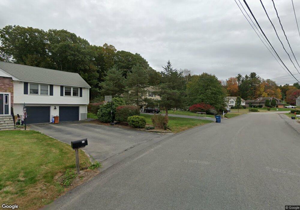
24 Estey Way Canton, MA 02021
Estimated Value: $801,000 - $1,028,000
3
Beds
3
Baths
1,930
Sq Ft
$454/Sq Ft
Est. Value
About This Home
This home is located at 24 Estey Way, Canton, MA 02021 and is currently estimated at $876,495, approximately $454 per square foot. 24 Estey Way is a home located in Norfolk County with nearby schools including Canton High School and St. John the Evangelist School.
Ownership History
Date
Name
Owned For
Owner Type
Purchase Details
Closed on
Oct 20, 2008
Sold by
Bank Of New York
Bought by
Guerschuny Gavin A and Guerschuny Kelly A
Current Estimated Value
Home Financials for this Owner
Home Financials are based on the most recent Mortgage that was taken out on this home.
Original Mortgage
$376,000
Interest Rate
6.41%
Mortgage Type
Purchase Money Mortgage
Purchase Details
Closed on
Apr 14, 2008
Sold by
Wan Gary L
Bought by
Bank Of New York
Purchase Details
Closed on
Oct 31, 2003
Sold by
Couture Paul G and Couture Dawn T
Bought by
Wan Gary and Yang Rui L
Home Financials for this Owner
Home Financials are based on the most recent Mortgage that was taken out on this home.
Original Mortgage
$460,000
Interest Rate
6.05%
Mortgage Type
Purchase Money Mortgage
Create a Home Valuation Report for This Property
The Home Valuation Report is an in-depth analysis detailing your home's value as well as a comparison with similar homes in the area
Home Values in the Area
Average Home Value in this Area
Purchase History
| Date | Buyer | Sale Price | Title Company |
|---|---|---|---|
| Guerschuny Gavin A | $470,000 | -- | |
| Bank Of New York | -- | -- | |
| Bank Of New York | $441,000 | -- | |
| Wan Gary | $575,000 | -- |
Source: Public Records
Mortgage History
| Date | Status | Borrower | Loan Amount |
|---|---|---|---|
| Open | Wan Gary | $368,000 | |
| Closed | Wan Gary | $376,000 | |
| Closed | Guerschuny Gavin A | $376,000 | |
| Previous Owner | Wan Gary | $460,000 |
Source: Public Records
Tax History Compared to Growth
Tax History
| Year | Tax Paid | Tax Assessment Tax Assessment Total Assessment is a certain percentage of the fair market value that is determined by local assessors to be the total taxable value of land and additions on the property. | Land | Improvement |
|---|---|---|---|---|
| 2025 | $7,396 | $747,800 | $297,400 | $450,400 |
| 2024 | $7,171 | $719,300 | $286,000 | $433,300 |
| 2023 | $6,968 | $659,200 | $286,000 | $373,200 |
| 2022 | $6,948 | $612,200 | $272,400 | $339,800 |
| 2021 | $6,764 | $554,400 | $247,600 | $306,800 |
| 2020 | $6,461 | $528,300 | $235,800 | $292,500 |
| 2019 | $6,397 | $515,900 | $214,300 | $301,600 |
| 2018 | $6,164 | $496,300 | $206,100 | $290,200 |
| 2017 | $6,229 | $487,000 | $202,100 | $284,900 |
| 2016 | $6,126 | $479,000 | $197,100 | $281,900 |
| 2015 | $5,934 | $462,900 | $191,400 | $271,500 |
Source: Public Records
Map
Nearby Homes
- 27 Ward Well Rd
- 545 Pearl St
- 141 Shaw Farm Rd Unit 141
- 42 Amherst Rd
- 24 Amherst Rd
- 111 Ralph Mann Dr
- 40 Horan Way
- 0 Washington St Unit 71897113
- 0 Washington St Unit 72888098
- 69 Laarhoven Terrace
- 25 Pine St Unit B
- 102 Ewing Dr
- 16 Meadowood Dr
- 23 Pine St Unit K
- 21 Pine St Unit E
- 120 Charles Ave
- 859 Pleasant St
- 888 Turnpike St
- 56 Laurelwood Dr
- 54 Laurelwood Dr