24 Farmer Dr Gilford, NH 03249
Estimated Value: $395,000 - $644,000
3
Beds
1
Bath
1,260
Sq Ft
$386/Sq Ft
Est. Value
About This Home
This home is located at 24 Farmer Dr, Gilford, NH 03249 and is currently estimated at $485,760, approximately $385 per square foot. 24 Farmer Dr is a home located in Belknap County with nearby schools including Gilford Elementary School, Gilford Middle School, and Gilford High School.
Ownership History
Date
Name
Owned For
Owner Type
Purchase Details
Closed on
Dec 6, 2016
Sold by
Pryzby David R and Pryzby Agnes
Bought by
Pryzby David R
Current Estimated Value
Purchase Details
Closed on
Jul 7, 2008
Sold by
Bertrand Robert F and Bertrand Josephine H
Bought by
Pryzby David R and Pryzby Agnes
Home Financials for this Owner
Home Financials are based on the most recent Mortgage that was taken out on this home.
Original Mortgage
$180,500
Interest Rate
6.01%
Mortgage Type
Purchase Money Mortgage
Purchase Details
Closed on
Dec 2, 1999
Sold by
Parker Eric and Parker Nichole
Bought by
Bertrand Robert and Bertrand Josephine
Home Financials for this Owner
Home Financials are based on the most recent Mortgage that was taken out on this home.
Original Mortgage
$75,200
Interest Rate
7.86%
Create a Home Valuation Report for This Property
The Home Valuation Report is an in-depth analysis detailing your home's value as well as a comparison with similar homes in the area
Home Values in the Area
Average Home Value in this Area
Purchase History
| Date | Buyer | Sale Price | Title Company |
|---|---|---|---|
| Pryzby David R | -- | -- | |
| Pryzby David R | $190,000 | -- | |
| Bertrand Robert | $94,000 | -- |
Source: Public Records
Mortgage History
| Date | Status | Borrower | Loan Amount |
|---|---|---|---|
| Previous Owner | Bertrand Robert | $175,000 | |
| Previous Owner | Bertrand Robert | $180,500 | |
| Previous Owner | Bertrand Robert | $75,200 |
Source: Public Records
Tax History Compared to Growth
Tax History
| Year | Tax Paid | Tax Assessment Tax Assessment Total Assessment is a certain percentage of the fair market value that is determined by local assessors to be the total taxable value of land and additions on the property. | Land | Improvement |
|---|---|---|---|---|
| 2024 | $3,811 | $338,770 | $111,170 | $227,600 |
| 2023 | $3,489 | $338,770 | $111,170 | $227,600 |
| 2022 | $2,596 | $252,740 | $70,140 | $182,600 |
| 2021 | $3,104 | $252,740 | $70,140 | $182,600 |
| 2020 | $3,319 | $220,840 | $70,140 | $150,700 |
| 2019 | $3,320 | $209,360 | $65,460 | $143,900 |
| 2018 | $2,808 | $164,760 | $48,860 | $115,900 |
| 2017 | $2,844 | $164,760 | $48,860 | $115,900 |
| 2016 | $2,907 | $161,960 | $48,860 | $113,100 |
| 2015 | $3,005 | $167,250 | $56,750 | $110,500 |
| 2011 | $3,046 | $164,210 | $65,710 | $98,500 |
Source: Public Records
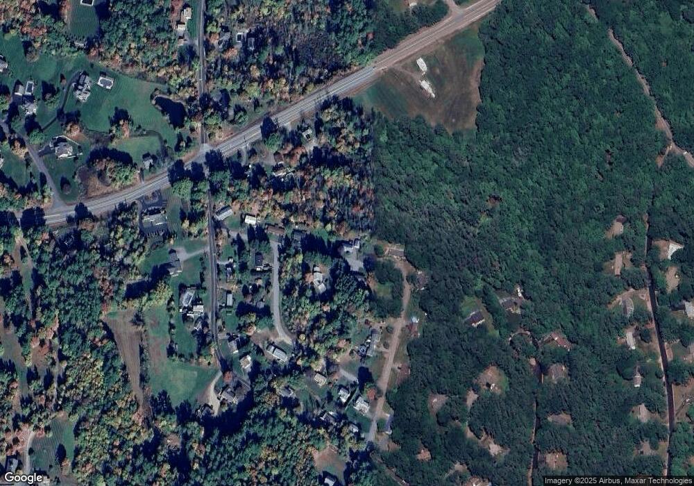
Map
Nearby Homes
- 30 Farmer Dr
- 771 Gilford Ave
- 19 Knollwood Dr
- 778 Gilford Ave
- 30 Belknap Mountain Rd
- 119 Cherry Valley Rd
- 21 Wild Acres Rd
- 30 Beacon Hill Rd
- 6 Colonial Dr
- 233 Stark St
- 32 David Lewis Rd
- 84 Old Lake Shore Rd
- 7 Countryside Dr
- 71 Annis Dr Unit 1
- 8 Mulberry Hill Rd Unit B
- 23 Liscomb Cir Unit 58
- 44 Gilford Dr E
- 162 Morrill St
- 31 Henderson Rd Unit 17
- 9 Lily Pond Rd