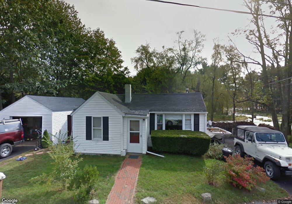
24 Foyes Ln Kittery Point, ME 03905
Kittery Point NeighborhoodEstimated Value: $444,000 - $575,000
3
Beds
2
Baths
1,119
Sq Ft
$454/Sq Ft
Est. Value
About This Home
This home is located at 24 Foyes Ln, Kittery Point, ME 03905 and is currently estimated at $507,859, approximately $453 per square foot. 24 Foyes Ln is a home with nearby schools including Horace Mitchell Primary School, Shapleigh School, and Robert W Traip Academy.
Ownership History
Date
Name
Owned For
Owner Type
Purchase Details
Closed on
Nov 28, 2018
Sold by
Terrence Donald E
Bought by
Ryder Anthony R and Ryder Lauren C
Current Estimated Value
Purchase Details
Closed on
Oct 31, 2017
Sold by
Cole Andrew R Est
Bought by
Cole Rachel and Cole Andrew J
Purchase Details
Closed on
Jul 29, 2005
Sold by
Terrence Mildred A and Terrence Donald E
Bought by
Cole Andrew R
Purchase Details
Closed on
May 31, 2005
Sold by
Bonacci Paul D
Bought by
Cole Andrew R
Create a Home Valuation Report for This Property
The Home Valuation Report is an in-depth analysis detailing your home's value as well as a comparison with similar homes in the area
Home Values in the Area
Average Home Value in this Area
Purchase History
| Date | Buyer | Sale Price | Title Company |
|---|---|---|---|
| Ryder Anthony R | -- | -- | |
| Cole Rachel | -- | -- | |
| Cole Andrew R | -- | -- | |
| Cole Andrew R | -- | -- |
Source: Public Records
Tax History Compared to Growth
Tax History
| Year | Tax Paid | Tax Assessment Tax Assessment Total Assessment is a certain percentage of the fair market value that is determined by local assessors to be the total taxable value of land and additions on the property. | Land | Improvement |
|---|---|---|---|---|
| 2024 | $3,536 | $249,000 | $115,900 | $133,100 |
| 2023 | $3,389 | $249,000 | $115,900 | $133,100 |
| 2022 | $3,357 | $249,000 | $115,900 | $133,100 |
| 2021 | $3,237 | $249,000 | $115,900 | $133,100 |
| 2020 | $3,212 | $249,000 | $115,900 | $133,100 |
| 2019 | $3,017 | $173,400 | $74,100 | $99,300 |
| 2018 | $2,913 | $173,400 | $74,100 | $99,300 |
| 2017 | $2,861 | $173,400 | $74,100 | $99,300 |
| 2016 | $2,878 | $179,300 | $74,100 | $105,200 |
| 2015 | $2,810 | $179,300 | $74,100 | $105,200 |
| 2014 | $2,766 | $178,200 | $73,000 | $105,200 |
| 2013 | $2,712 | $178,200 | $73,000 | $105,200 |
Source: Public Records
Map
Nearby Homes
- 15 Foyes Ln
- 58 Foyes Ln
- 132 Pepperrell Rd
- 39 Tenney Hill Rd
- 72 Pepperrell Rd
- 299 Haley Rd
- 25 Bartlett Rd
- 205 Whipple Rd
- 78 Norton Rd Unit 6
- 7 Washburn Farm Ln Unit 9
- 2 Washburn Farm Ln Unit 1
- 24 Seabreeze Ln
- 15 Atkinson St
- 20 Washburn Farm Ln Unit 5
- 18 Washburn Farm Ln Unit 4
- 17 Elm Ct
- 12 Gillis Dr Unit 3
- 12 Washburn Farm Ln Unit 3
- 8 Spruce Point Rd
- 14 Colonial Ln