24 Fraser Way Marion, MA 02738
Estimated Value: $2,176,000 - $2,660,000
3
Beds
3
Baths
2,316
Sq Ft
$1,052/Sq Ft
Est. Value
About This Home
This home is located at 24 Fraser Way, Marion, MA 02738 and is currently estimated at $2,437,446, approximately $1,052 per square foot. 24 Fraser Way is a home with nearby schools including Old Rochester Regional High School.
Ownership History
Date
Name
Owned For
Owner Type
Purchase Details
Closed on
Mar 1, 2016
Sold by
Spader James T
Bought by
James T Spader Lt and Spader James
Current Estimated Value
Purchase Details
Closed on
Jun 15, 1990
Sold by
Spader Jean F
Bought by
Spader James T
Home Financials for this Owner
Home Financials are based on the most recent Mortgage that was taken out on this home.
Original Mortgage
$325,000
Interest Rate
10.54%
Mortgage Type
Purchase Money Mortgage
Create a Home Valuation Report for This Property
The Home Valuation Report is an in-depth analysis detailing your home's value as well as a comparison with similar homes in the area
Home Values in the Area
Average Home Value in this Area
Purchase History
| Date | Buyer | Sale Price | Title Company |
|---|---|---|---|
| James T Spader Lt | -- | -- | |
| Spader James T | $620,000 | -- |
Source: Public Records
Mortgage History
| Date | Status | Borrower | Loan Amount |
|---|---|---|---|
| Previous Owner | Spader James T | $325,000 | |
| Previous Owner | Spader James T | $325,000 |
Source: Public Records
Tax History Compared to Growth
Tax History
| Year | Tax Paid | Tax Assessment Tax Assessment Total Assessment is a certain percentage of the fair market value that is determined by local assessors to be the total taxable value of land and additions on the property. | Land | Improvement |
|---|---|---|---|---|
| 2025 | $23,803 | $2,553,965 | $2,156,865 | $397,100 |
| 2024 | $23,156 | $2,500,667 | $2,133,867 | $366,800 |
| 2023 | $19,313 | $2,045,884 | $1,709,384 | $336,500 |
| 2022 | $21,917 | $2,019,975 | $1,608,475 | $411,500 |
| 2021 | $6,149 | $1,916,677 | $1,565,877 | $350,800 |
| 2020 | $21,932 | $1,874,500 | $1,565,600 | $308,900 |
| 2019 | $20,676 | $1,874,500 | $1,565,600 | $308,900 |
| 2018 | $3,850 | $1,525,700 | $1,170,900 | $354,800 |
| 2017 | $17,059 | $1,495,100 | $1,170,900 | $324,200 |
| 2016 | $16,016 | $1,416,100 | $1,134,700 | $281,400 |
| 2015 | $15,868 | $1,428,300 | $1,134,700 | $293,600 |
Source: Public Records
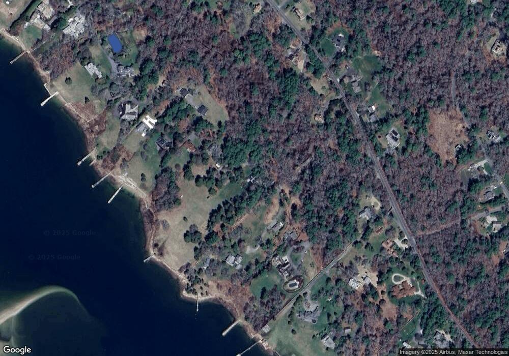
Map
Nearby Homes
- 0 Register Rd
- 414 Point Rd
- 0 Delano Rd
- 44 Register Rd
- 58 Delano Rd
- 25 West Ave
- 91 Piney Point Rd
- 25 Hammetts Cove Rd
- 8 Vine St
- 16 Vine St
- 27 Beach St
- 0 Beach St
- 0 Cross Neck Rd Unit 73420524
- 0 Cross Neck Rd Unit 73420525
- 00 Delano Rd
- 13 Cottage St
- 15 Quelle Ln
- 11 Joanne Dr
- 13 Converse Rd
- 0 Converse Rd Unit 73451004