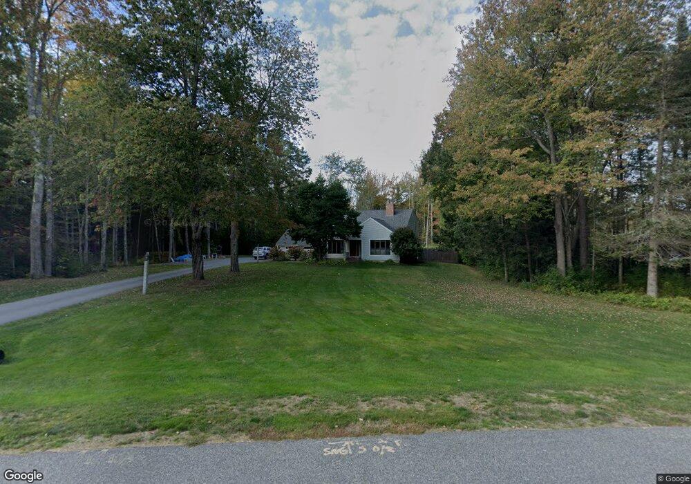
24 Friar Ln Cumberland Center, ME 04021
Estimated Value: $829,274 - $948,000
3
Beds
2
Baths
2,428
Sq Ft
$366/Sq Ft
Est. Value
About This Home
This home is located at 24 Friar Ln, Cumberland Center, ME 04021 and is currently estimated at $887,819, approximately $365 per square foot. 24 Friar Ln is a home located in Cumberland County with nearby schools including Mabel I. Wilson School, Greely Middle School 4-5, and Greely Middle School.
Ownership History
Date
Name
Owned For
Owner Type
Purchase Details
Closed on
Mar 10, 2008
Sold by
Kendrick Victoria P
Bought by
Sharp Philip C and Sharp Lisa A
Current Estimated Value
Home Financials for this Owner
Home Financials are based on the most recent Mortgage that was taken out on this home.
Original Mortgage
$284,560
Interest Rate
5.57%
Mortgage Type
FHA
Create a Home Valuation Report for This Property
The Home Valuation Report is an in-depth analysis detailing your home's value as well as a comparison with similar homes in the area
Home Values in the Area
Average Home Value in this Area
Purchase History
| Date | Buyer | Sale Price | Title Company |
|---|---|---|---|
| Sharp Philip C | -- | -- |
Source: Public Records
Mortgage History
| Date | Status | Borrower | Loan Amount |
|---|---|---|---|
| Open | Sharp Philip C | $290,000 | |
| Closed | Sharp Philip C | $284,560 |
Source: Public Records
Tax History Compared to Growth
Tax History
| Year | Tax Paid | Tax Assessment Tax Assessment Total Assessment is a certain percentage of the fair market value that is determined by local assessors to be the total taxable value of land and additions on the property. | Land | Improvement |
|---|---|---|---|---|
| 2025 | $9,896 | $393,000 | $131,600 | $261,400 |
| 2024 | $9,137 | $393,000 | $131,600 | $261,400 |
| 2023 | $8,705 | $393,000 | $131,600 | $261,400 |
| 2022 | $8,332 | $393,000 | $131,600 | $261,400 |
| 2021 | $8,076 | $393,000 | $131,600 | $261,400 |
| 2020 | $7,493 | $393,000 | $131,600 | $261,400 |
| 2019 | $7,801 | $393,000 | $131,600 | $261,400 |
| 2018 | $7,742 | $393,000 | $131,600 | $261,400 |
| 2017 | $7,370 | $392,000 | $131,600 | $260,400 |
| 2016 | $6,521 | $357,300 | $131,600 | $225,700 |
| 2015 | $6,467 | $357,300 | $131,600 | $225,700 |
| 2014 | $6,217 | $357,300 | $131,600 | $225,700 |
| 2013 | $6,074 | $357,300 | $131,600 | $225,700 |
Source: Public Records
Map
Nearby Homes
- 258 Foreside Rd
- 186 Foreside Rd
- 24 York Ledge Dr
- Lot 8 Coastal Pines
- 90 Harris Lot 1 Rd
- 39 Harris Rd
- 11 Coastal Pines Lot 5
- 51 Meeting House Farms Rd
- 15 Sea Cove Rd
- 31 Stony Brook Ln
- 9 Newell Rd
- 37 South St
- 86 Pleasant St
- 1 Railroad Square Unit Townhome C
- 1 Railroad Square Unit 103
- 1 Railroad Square Unit 205
- 1 Railroad Square Unit 305
- 1 Railroad Square Unit 403
- 1 Railroad Square Unit 101
- 70 Main St