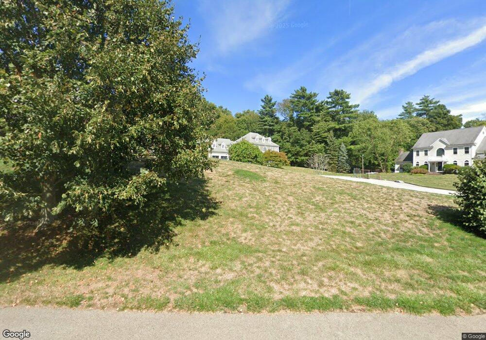
24 Greenbriar Way Scituate, MA 02066
Estimated Value: $1,637,000 - $2,356,000
5
Beds
4
Baths
5,000
Sq Ft
$413/Sq Ft
Est. Value
About This Home
This home is located at 24 Greenbriar Way, Scituate, MA 02066 and is currently estimated at $2,064,107, approximately $412 per square foot. 24 Greenbriar Way is a home located in Plymouth County with nearby schools including Jenkins Elementary School, Lester J. Gates Middle School, and Scituate High School.
Ownership History
Date
Name
Owned For
Owner Type
Purchase Details
Closed on
Feb 9, 2007
Sold by
Eastgate Prop Llc and Quinn Thomas
Bought by
Brabham Jennifer
Current Estimated Value
Purchase Details
Closed on
Mar 30, 2006
Sold by
Quinn Thomas J and Quinn Julie A
Bought by
Eastgate Prop Llc
Purchase Details
Closed on
Oct 29, 2003
Sold by
Modern Continental Ent
Bought by
Quinn Thomas J and Quinn Julie A
Create a Home Valuation Report for This Property
The Home Valuation Report is an in-depth analysis detailing your home's value as well as a comparison with similar homes in the area
Home Values in the Area
Average Home Value in this Area
Purchase History
| Date | Buyer | Sale Price | Title Company |
|---|---|---|---|
| Brabham Jennifer | $1,085,000 | -- | |
| Eastgate Prop Llc | -- | -- | |
| Quinn Thomas J | $315,000 | -- |
Source: Public Records
Mortgage History
| Date | Status | Borrower | Loan Amount |
|---|---|---|---|
| Open | Quinn Thomas J | $379,000 | |
| Closed | Quinn Thomas J | $385,000 | |
| Closed | Quinn Thomas J | $390,000 |
Source: Public Records
Tax History Compared to Growth
Tax History
| Year | Tax Paid | Tax Assessment Tax Assessment Total Assessment is a certain percentage of the fair market value that is determined by local assessors to be the total taxable value of land and additions on the property. | Land | Improvement |
|---|---|---|---|---|
| 2025 | $17,482 | $1,749,900 | $602,500 | $1,147,400 |
| 2024 | $17,908 | $1,728,600 | $589,800 | $1,138,800 |
| 2023 | $15,731 | $1,454,200 | $460,700 | $993,500 |
| 2022 | $15,731 | $1,246,500 | $404,100 | $842,400 |
| 2021 | $15,400 | $1,155,300 | $384,900 | $770,400 |
| 2020 | $15,250 | $1,129,600 | $370,100 | $759,500 |
| 2019 | $14,940 | $1,087,300 | $362,800 | $724,500 |
| 2018 | $14,601 | $1,046,700 | $375,500 | $671,200 |
| 2017 | $14,365 | $1,019,500 | $375,500 | $644,000 |
| 2016 | $14,239 | $1,007,000 | $363,000 | $644,000 |
| 2015 | $13,028 | $994,500 | $350,500 | $644,000 |
Source: Public Records
Map
Nearby Homes
- 49 Cornet Stetson Rd
- 17 Old Oaken Bucket Rd
- 16 Salt Meadow Ln
- 161 Cross St
- 9 Cushing Park Rd
- 252 Winter St
- 12 Sassamon Rd
- 110 Parker St
- 25 Webster Farm Way
- 23 Webster Farm Way
- 3 Webster Farm Way
- 5 Webster Farm Way
- 48 Neal Gate St
- 19 Ford Place Unit 3
- 19 Ford Place Unit 1
- 19 Ford Place Unit 4
- 146 Chief Justice Cushing Hwy
- 2 Webster Farm Way
- 29 Ladds Way Unit 29
- 908 Main St
- 21 Greenbriar Way
- 20 Greenbriar Way
- 14 Garrison Dr
- 11 Greenbriar Way
- 136 Cornet Stetson Rd
- 14 Walnut Hill Dr
- 9 Garrison Dr
- 11 Greenbriar Way
- 22 Garrison Dr
- 22A Garrison Dr
- 12 Greenbriar Way
- 20 Walnut Hill Dr
- 79 Woodworth Ln
- 32 Garrison Dr
- 77 Watch Hill Dr
- 30 Cross St
- 73 Woodworth Ln
- 34 Cross St
- 28 Cross St
- 40 Garrison Dr