24 Jills Way Tewksbury, MA 01876
Estimated Value: $751,000 - $818,000
2
Beds
2
Baths
2,325
Sq Ft
$337/Sq Ft
Est. Value
About This Home
This home is located at 24 Jills Way, Tewksbury, MA 01876 and is currently estimated at $783,078, approximately $336 per square foot. 24 Jills Way is a home located in Middlesex County with nearby schools including St. Augustine School.
Ownership History
Date
Name
Owned For
Owner Type
Purchase Details
Closed on
Nov 14, 2008
Sold by
A&M Land Corp
Bought by
Lloyd Ann P and Lloyd Courtney A
Current Estimated Value
Home Financials for this Owner
Home Financials are based on the most recent Mortgage that was taken out on this home.
Original Mortgage
$85,000
Outstanding Balance
$55,934
Interest Rate
6.13%
Mortgage Type
Purchase Money Mortgage
Estimated Equity
$727,144
Create a Home Valuation Report for This Property
The Home Valuation Report is an in-depth analysis detailing your home's value as well as a comparison with similar homes in the area
Home Values in the Area
Average Home Value in this Area
Purchase History
| Date | Buyer | Sale Price | Title Company |
|---|---|---|---|
| Lloyd Ann P | $369,900 | -- |
Source: Public Records
Mortgage History
| Date | Status | Borrower | Loan Amount |
|---|---|---|---|
| Open | Lloyd Ann P | $85,000 |
Source: Public Records
Tax History Compared to Growth
Tax History
| Year | Tax Paid | Tax Assessment Tax Assessment Total Assessment is a certain percentage of the fair market value that is determined by local assessors to be the total taxable value of land and additions on the property. | Land | Improvement |
|---|---|---|---|---|
| 2025 | $9,284 | $702,300 | $0 | $702,300 |
| 2024 | $8,982 | $670,800 | $0 | $670,800 |
| 2023 | $8,609 | $610,600 | $0 | $610,600 |
| 2022 | $8,026 | $528,000 | $0 | $528,000 |
| 2021 | $7,956 | $506,100 | $0 | $506,100 |
| 2020 | $8,030 | $502,800 | $0 | $502,800 |
| 2019 | $7,749 | $489,200 | $0 | $489,200 |
| 2018 | $7,210 | $447,000 | $0 | $447,000 |
| 2017 | $7,062 | $433,000 | $0 | $433,000 |
| 2016 | $6,530 | $399,400 | $0 | $399,400 |
| 2015 | $6,116 | $373,600 | $0 | $373,600 |
| 2014 | $5,893 | $365,800 | $0 | $365,800 |
Source: Public Records
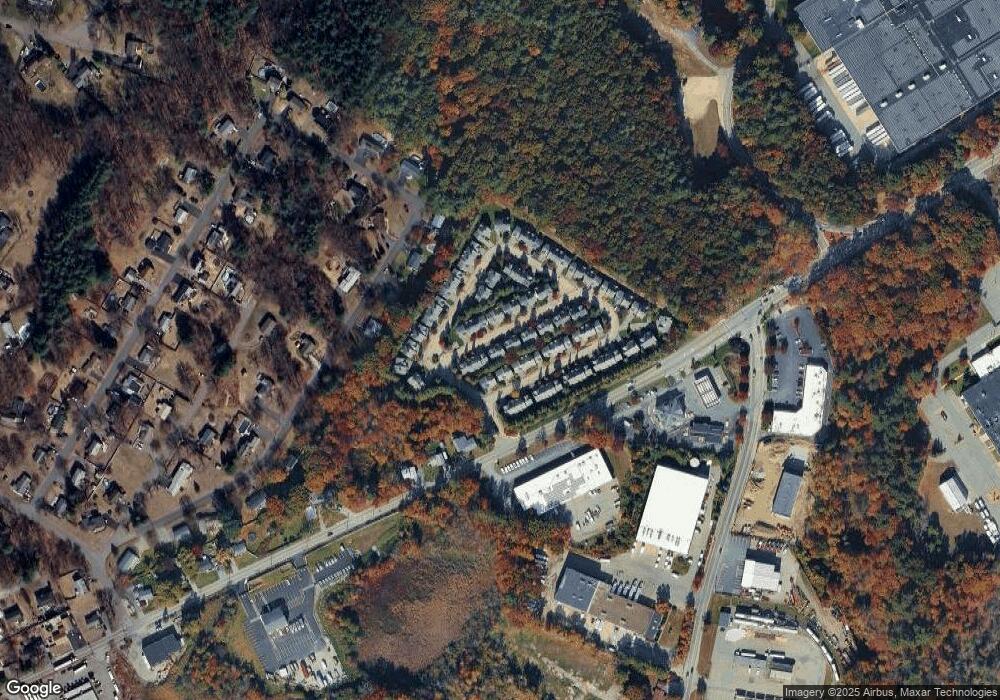
Map
Nearby Homes
- 14 Regis Rd
- 93 Vale St
- 5 Kensington Way Unit 5
- 69 Blanchard St
- 58 Blanchard St
- 110 Royal Crest Cir
- 4 Hazelwood Cir
- 7 Stouffer Cir
- 71 Apache Way Unit 71
- 177 Apache Way Unit 177
- 18 Dale St Unit 4G
- 101 Bellevue Rd
- 33 Dascomb Rd
- 900 Livingston St
- 910 Livingston St
- 22 Haggetts Pond Rd
- 14 Geneva Rd
- 15 Geneva Rd
- 20 Meredith Rd
- 97 Kendall Rd
- 2 Jill's Way Unit 2
- 21 Jill's Way Unit 21
- 16 Jill's Way Unit 16
- 46 Jill's Way Unit 46
- 44 Jill's Way Unit 44
- 1 Jill's Way Unit 1
- 22 Jill's Way Unit 22
- 43 Jill's Way Unit 43
- 23 Jills Way (Katie Estates) Unit 23
- 20 Jills Way(katie Estates) Unit 20
- 12 Jills Way(katie Estates) Unit 12
- 6 Jill's Way(katie Estates) Unit 6
- 5 Jill's Way Unit 5
- 4 Jill's Way Unit 4
- 56 Jills Way
- 52 Jills Way
- 44 Jills Way
- 43 Jills Way
- 42 Jills Way
- 41 Jills Way