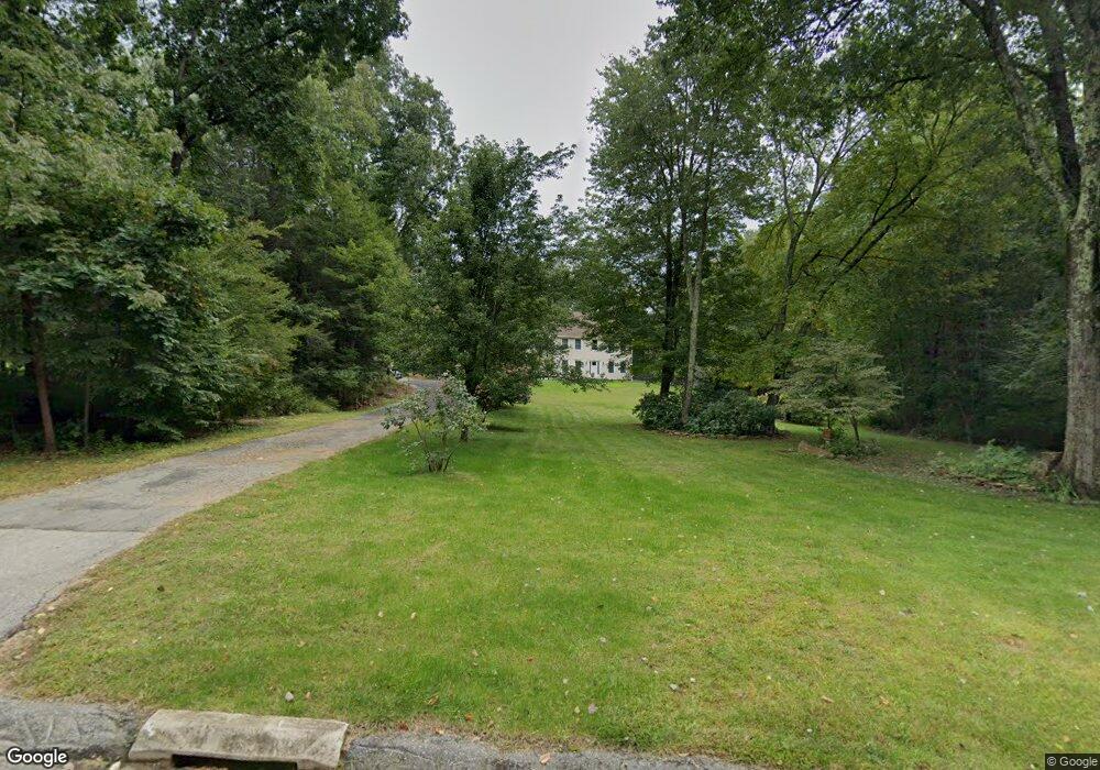
24 Laurel Dr Willington, CT 06279
Estimated Value: $503,000 - $738,000
3
Beds
3
Baths
3,200
Sq Ft
$189/Sq Ft
Est. Value
About This Home
This home is located at 24 Laurel Dr, Willington, CT 06279 and is currently estimated at $605,985, approximately $189 per square foot. 24 Laurel Dr is a home located in Tolland County with nearby schools including Center Elementary School, Hall Memorial School, and E.O. Smith High School.
Ownership History
Date
Name
Owned For
Owner Type
Purchase Details
Closed on
Nov 22, 2005
Sold by
Budkofsky Loretta
Bought by
Lester Christopher D and Lester Monica M
Current Estimated Value
Purchase Details
Closed on
Jul 15, 2003
Sold by
Byam Steven
Bought by
Budkofsky Loretta
Create a Home Valuation Report for This Property
The Home Valuation Report is an in-depth analysis detailing your home's value as well as a comparison with similar homes in the area
Home Values in the Area
Average Home Value in this Area
Purchase History
| Date | Buyer | Sale Price | Title Company |
|---|---|---|---|
| Lester Christopher D | $368,000 | -- | |
| Lester Christopher D | $368,000 | -- | |
| Budkofsky Loretta | $315,000 | -- | |
| Budkofsky Loretta | $315,000 | -- |
Source: Public Records
Mortgage History
| Date | Status | Borrower | Loan Amount |
|---|---|---|---|
| Open | Budkofsky Loretta | $100,000 | |
| Open | Budkofsky Loretta | $283,366 |
Source: Public Records
Tax History Compared to Growth
Tax History
| Year | Tax Paid | Tax Assessment Tax Assessment Total Assessment is a certain percentage of the fair market value that is determined by local assessors to be the total taxable value of land and additions on the property. | Land | Improvement |
|---|---|---|---|---|
| 2025 | $9,389 | $369,360 | $69,950 | $299,410 |
| 2024 | $8,710 | $257,020 | $43,810 | $213,210 |
| 2023 | $3,213 | $99,920 | $43,810 | $56,110 |
| 2022 | $3,124 | $99,920 | $43,810 | $56,110 |
| 2021 | $2,997 | $99,920 | $43,810 | $56,110 |
| 2020 | $2,997 | $99,920 | $43,810 | $56,110 |
| 2019 | $3,007 | $99,920 | $43,810 | $56,110 |
| 2018 | $3,289 | $109,300 | $53,190 | $56,110 |
| 2017 | $7,377 | $245,180 | $53,190 | $191,990 |
| 2015 | $6,512 | $238,190 | $53,190 | $185,000 |
| 2014 | $6,512 | $238,190 | $53,190 | $185,000 |
Source: Public Records
Map
Nearby Homes
- 65 Blair Rd
- 28 Cemetery Rd
- 184 Village Hill Rd
- 61 Lohse Rd
- 57 Lohse Rd
- 21 Ashley Ln
- 44 Tolland Ave Unit 37
- 44 Tolland Ave Unit 46
- 44 Tolland Ave Unit 64
- 20 Grant Ave
- 52 High St
- 23 East St
- 30 Edgewood St
- 4 Clinton St
- 71 W Main St
- 0 Lohse Rd Unit map 42 block 21
- 0 Tolland Turnpike
- 92 Furnace Ave Unit 68
- 0 River Rd Unit 24120753
- 644 Buff Cap Rd