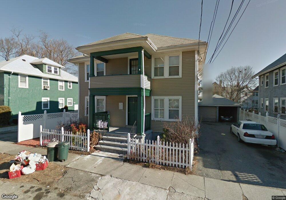
24 Laurel Rd Milton, MA 02186
Milton Center NeighborhoodEstimated Value: $947,000 - $1,053,000
4
Beds
2
Baths
2,645
Sq Ft
$374/Sq Ft
Est. Value
About This Home
This home is located at 24 Laurel Rd, Milton, MA 02186 and is currently estimated at $989,080, approximately $373 per square foot. 24 Laurel Rd is a home located in Norfolk County with nearby schools including Milton High School, KIPP Academy Boston Charter School, and St. Mary of the Hills School.
Ownership History
Date
Name
Owned For
Owner Type
Purchase Details
Closed on
Mar 16, 2021
Sold by
Gabriel Fritz F
Bought by
Gabriel Fritz F and Gabriel Marie R
Current Estimated Value
Purchase Details
Closed on
Jul 17, 2013
Sold by
Gabriel Dritz F and Us Bank Na
Bought by
Acqu Jp Morgan Mortgag and Us Bank Na
Purchase Details
Closed on
Dec 9, 2003
Sold by
Swanson James M and French Niki A
Bought by
Gabirel Fritz F
Home Financials for this Owner
Home Financials are based on the most recent Mortgage that was taken out on this home.
Original Mortgage
$400,000
Interest Rate
6.03%
Mortgage Type
Purchase Money Mortgage
Purchase Details
Closed on
Mar 31, 1997
Sold by
Epro Sherman L and Epro Ellen M
Bought by
Swanson James M
Create a Home Valuation Report for This Property
The Home Valuation Report is an in-depth analysis detailing your home's value as well as a comparison with similar homes in the area
Home Values in the Area
Average Home Value in this Area
Purchase History
| Date | Buyer | Sale Price | Title Company |
|---|---|---|---|
| Gabriel Fritz F | -- | None Available | |
| Acqu Jp Morgan Mortgag | $416,000 | -- | |
| Gabirel Fritz F | $500,000 | -- | |
| Swanson James M | $143,500 | -- |
Source: Public Records
Mortgage History
| Date | Status | Borrower | Loan Amount |
|---|---|---|---|
| Previous Owner | Swanson James M | $400,000 | |
| Previous Owner | Swanson James M | $240,000 | |
| Previous Owner | Swanson James M | $50,000 |
Source: Public Records
Tax History
| Year | Tax Paid | Tax Assessment Tax Assessment Total Assessment is a certain percentage of the fair market value that is determined by local assessors to be the total taxable value of land and additions on the property. | Land | Improvement |
|---|---|---|---|---|
| 2025 | $9,395 | $847,200 | $370,800 | $476,400 |
| 2024 | $9,162 | $839,000 | $353,100 | $485,900 |
| 2023 | $8,630 | $757,000 | $314,000 | $443,000 |
| 2022 | $8,670 | $695,300 | $314,000 | $381,300 |
| 2021 | $8,630 | $657,300 | $292,100 | $365,200 |
| 2020 | $7,805 | $594,900 | $270,100 | $324,800 |
| 2019 | $7,203 | $546,500 | $262,200 | $284,300 |
| 2018 | $6,905 | $500,000 | $217,400 | $282,600 |
| 2017 | $6,290 | $463,900 | $207,000 | $256,900 |
| 2016 | $5,809 | $430,300 | $194,100 | $236,200 |
| 2015 | $5,561 | $398,900 | $178,600 | $220,300 |
Source: Public Records
Map
Nearby Homes
- 16 West St
- 168 Brook Rd
- 29/31 Belvoir Rd
- 214 Brook Rd
- 82 Blue Hill Ave
- 137 Thacher St Unit 137
- 16 Blue Hill Ave
- 80 Blue Hills Pkwy
- 46 Audubon Rd
- 16 Concord Ave Unit 1
- 73 Hudson St
- 640 River St
- 30 Massasoit St
- 645 River St
- 7 Parkway Crescent
- 424 Brook Rd
- 23 Caton St
- 853 Cummins Hwy
- 44 Allen Cir
- 72 Columbine Rd
- 28 Laurel Rd
- 20 Laurel Rd
- 20 Laurel Rd Unit 2
- 20 Laurel Rd Unit 1
- 34 Laurel Rd
- 25 Laurel Rd Unit 2
- 29 Laurel Rd
- 29 Laurel Rd
- 29 Laurel Rd Unit 1
- 55 Thacher St
- 23 Laurel Rd Unit 25
- 33 Laurel Rd
- 21 Laurel Rd
- 49 Thacher St
- 12 Laurel Rd Unit 16
- 45 Thacher St
- 48 Laurel Rd
- 41 Thacher St
- 17 Laurel Rd
- 61 Thacher St Unit 63
Your Personal Tour Guide
Ask me questions while you tour the home.