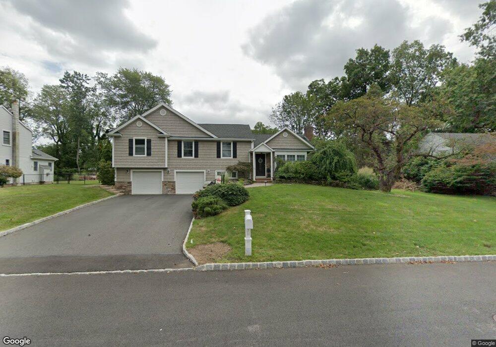
24 Locust Dr Morris Plains, NJ 07950
Estimated Value: $773,776 - $856,000
Studio
--
Bath
2,330
Sq Ft
$350/Sq Ft
Est. Value
About This Home
This home is located at 24 Locust Dr, Morris Plains, NJ 07950 and is currently estimated at $815,194, approximately $349 per square foot. 24 Locust Dr is a home located in Morris County with nearby schools including Whippany Park High School, Unity Charter School, and Allegro School.
Ownership History
Date
Name
Owned For
Owner Type
Purchase Details
Closed on
Apr 29, 2002
Sold by
Mandel Philip
Bought by
Debellonia Gregory and Debellonia Laurie
Current Estimated Value
Home Financials for this Owner
Home Financials are based on the most recent Mortgage that was taken out on this home.
Original Mortgage
$235,000
Outstanding Balance
$100,766
Interest Rate
7.15%
Estimated Equity
$714,428
Purchase Details
Closed on
Dec 14, 1998
Sold by
Dematthaeis Ferdinando and Dematthaeis Bridget
Bought by
Mandel Philip Saul and Mandel Rosalie Ann
Home Financials for this Owner
Home Financials are based on the most recent Mortgage that was taken out on this home.
Original Mortgage
$216,000
Interest Rate
6.8%
Mortgage Type
Stand Alone First
Create a Home Valuation Report for This Property
The Home Valuation Report is an in-depth analysis detailing your home's value as well as a comparison with similar homes in the area
Home Values in the Area
Average Home Value in this Area
Purchase History
| Date | Buyer | Sale Price | Title Company |
|---|---|---|---|
| Debellonia Gregory | $357,000 | -- | |
| Mandel Philip Saul | $270,000 | First American Title Ins Co |
Source: Public Records
Mortgage History
| Date | Status | Borrower | Loan Amount |
|---|---|---|---|
| Open | Debellonia Gregory | $235,000 | |
| Previous Owner | Mandel Philip Saul | $216,000 |
Source: Public Records
Tax History
| Year | Tax Paid | Tax Assessment Tax Assessment Total Assessment is a certain percentage of the fair market value that is determined by local assessors to be the total taxable value of land and additions on the property. | Land | Improvement |
|---|---|---|---|---|
| 2025 | $10,632 | $496,600 | $232,200 | $264,400 |
| 2024 | $10,498 | $496,600 | $232,200 | $264,400 |
Source: Public Records
Map
Nearby Homes
- 5 Cherry St
- 275 Malapardis Rd
- 5 Hickory Dr
- 83 Mountain Ave
- 14 Coogan Ct
- 612 Lopez Ln
- 4 Gristmill Rd
- 4 Briarcliff Rd
- 37 S Belair Ave
- 29 S Belair Ave
- 25 S Belair Ave
- 11 Veterans Way Unit 111
- 01 Birch Ct
- 307 Waterview Ct
- 101 Birch Ct
- 104 Ridgedale Ave
- 67 Sun Valley Way
- 1 Parker Ave
- 14 Beaver Ridge Rd
- 21 Robin Hood Rd
Your Personal Tour Guide
Ask me questions while you tour the home.