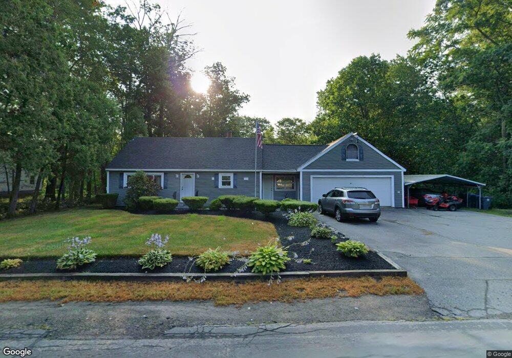
24 Lowell Blvd Methuen, MA 01844
The West End NeighborhoodEstimated Value: $337,000 - $562,000
2
Beds
1
Bath
1,064
Sq Ft
$465/Sq Ft
Est. Value
About This Home
This home is located at 24 Lowell Blvd, Methuen, MA 01844 and is currently estimated at $495,100, approximately $465 per square foot. 24 Lowell Blvd is a home located in Essex County with nearby schools including Marsh Grammar School, South Point Elementary School, and Methuen High School.
Ownership History
Date
Name
Owned For
Owner Type
Purchase Details
Closed on
Oct 27, 1998
Sold by
Arleque Wayne R
Bought by
Lemieux David R
Current Estimated Value
Home Financials for this Owner
Home Financials are based on the most recent Mortgage that was taken out on this home.
Original Mortgage
$109,700
Outstanding Balance
$23,109
Interest Rate
6.74%
Mortgage Type
Purchase Money Mortgage
Estimated Equity
$471,991
Create a Home Valuation Report for This Property
The Home Valuation Report is an in-depth analysis detailing your home's value as well as a comparison with similar homes in the area
Home Values in the Area
Average Home Value in this Area
Purchase History
| Date | Buyer | Sale Price | Title Company |
|---|---|---|---|
| Lemieux David R | $110,000 | -- | |
| Lemieux David R | $110,000 | -- |
Source: Public Records
Mortgage History
| Date | Status | Borrower | Loan Amount |
|---|---|---|---|
| Open | Lemieux David R | $109,700 | |
| Closed | Lemieux David R | $109,700 |
Source: Public Records
Tax History Compared to Growth
Tax History
| Year | Tax Paid | Tax Assessment Tax Assessment Total Assessment is a certain percentage of the fair market value that is determined by local assessors to be the total taxable value of land and additions on the property. | Land | Improvement |
|---|---|---|---|---|
| 2025 | $5,327 | $503,500 | $243,000 | $260,500 |
| 2024 | $5,028 | $463,000 | $202,500 | $260,500 |
| 2023 | $4,825 | $412,400 | $202,500 | $209,900 |
| 2022 | $4,526 | $346,800 | $165,700 | $181,100 |
| 2021 | $4,301 | $326,100 | $156,500 | $169,600 |
| 2020 | $4,321 | $321,500 | $156,500 | $165,000 |
| 2019 | $4,229 | $298,000 | $147,300 | $150,700 |
| 2018 | $4,026 | $282,100 | $138,100 | $144,000 |
| 2017 | $3,931 | $268,300 | $138,100 | $130,200 |
| 2016 | $3,531 | $238,400 | $119,700 | $118,700 |
| 2015 | $3,396 | $232,600 | $119,700 | $112,900 |
Source: Public Records
Map
Nearby Homes
- 46 Hopkins Cir
- 72 Sherwood Dr Unit 72
- 42 Hopkins Cir
- 5 Mercury Cir
- 44 Hopkins Cir Unit 44
- 322 River Rd
- 2 Nollet Dr
- 12 Hayfield Rd
- 492 Lowell St
- 14 Tyler St
- 2 Sugar Hill Cir
- 14 Youngfarm Rd
- 11 Vineyard Ln Unit 11
- 31 Varnum Ave
- 100 Salem Rd
- 2 Francis Dr Unit 412
- 4 Francis Dr Unit 105
- 2 Francis Dr Unit 213
- 4 Francis Dr Unit 207
- 38 Butternut Ln