24 Mark Island Gilford, NH 03249
Estimated Value: $1,315,000 - $1,746,000
3
Beds
3
Baths
2,010
Sq Ft
$773/Sq Ft
Est. Value
About This Home
This home is located at 24 Mark Island, Gilford, NH 03249 and is currently estimated at $1,553,382, approximately $772 per square foot. 24 Mark Island is a home located in Belknap County with nearby schools including Gilford Elementary School, Gilford Middle School, and Gilford High School.
Ownership History
Date
Name
Owned For
Owner Type
Purchase Details
Closed on
Oct 14, 2011
Sold by
Cail Randall Q and Cail Sarah M
Bought by
Moore Jon G and Moore Patricia A
Current Estimated Value
Home Financials for this Owner
Home Financials are based on the most recent Mortgage that was taken out on this home.
Original Mortgage
$417,000
Outstanding Balance
$286,459
Interest Rate
4.25%
Mortgage Type
Purchase Money Mortgage
Estimated Equity
$1,266,923
Purchase Details
Closed on
Jan 2, 2007
Sold by
Routes 3 & 25 Nt
Bought by
Cail Randall Q and Cail Sarah M
Create a Home Valuation Report for This Property
The Home Valuation Report is an in-depth analysis detailing your home's value as well as a comparison with similar homes in the area
Home Values in the Area
Average Home Value in this Area
Purchase History
| Date | Buyer | Sale Price | Title Company |
|---|---|---|---|
| Moore Jon G | $540,000 | -- | |
| Cail Randall Q | $210,000 | -- |
Source: Public Records
Mortgage History
| Date | Status | Borrower | Loan Amount |
|---|---|---|---|
| Open | Cail Randall Q | $417,000 | |
| Previous Owner | Cail Randall Q | $200,390 |
Source: Public Records
Tax History Compared to Growth
Tax History
| Year | Tax Paid | Tax Assessment Tax Assessment Total Assessment is a certain percentage of the fair market value that is determined by local assessors to be the total taxable value of land and additions on the property. | Land | Improvement |
|---|---|---|---|---|
| 2024 | $12,294 | $1,092,800 | $396,200 | $696,600 |
| 2023 | $11,256 | $1,092,800 | $396,200 | $696,600 |
| 2022 | $10,732 | $876,100 | $329,200 | $546,900 |
| 2021 | $10,759 | $876,100 | $329,200 | $546,900 |
| 2020 | $9,758 | $649,250 | $237,250 | $412,000 |
| 2019 | $9,642 | $607,950 | $237,250 | $370,700 |
| 2018 | $9,725 | $570,730 | $240,430 | $330,300 |
| 2017 | $9,961 | $577,130 | $240,430 | $336,700 |
| 2016 | $9,270 | $516,440 | $222,940 | $293,500 |
| 2015 | $9,359 | $520,800 | $234,200 | $286,600 |
| 2011 | $8,357 | $450,530 | $227,330 | $223,200 |
Source: Public Records
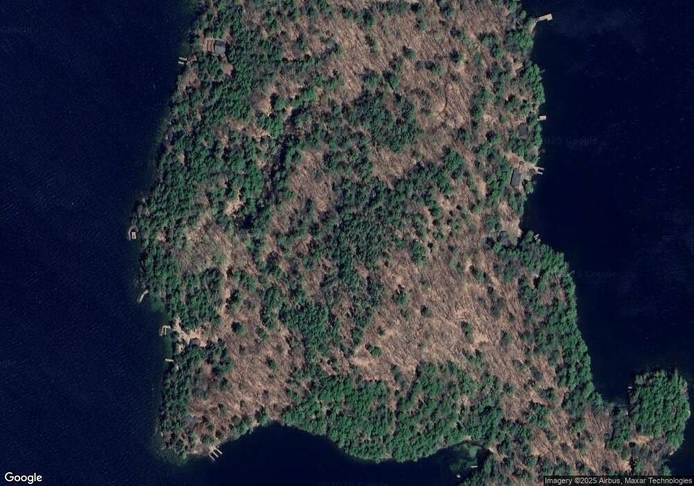
Map
Nearby Homes
- 14 Curtis Rd
- 102 Curtis Rd
- 18 Balsam Dr
- 12 Balsam Dr
- 235 Chestnut Dr
- 252 Chestnut Dr
- 9 Chestnut Dr
- 56 Foxglove Rd
- 134 Chestnut Dr
- 119 Cherry Valley Rd
- 22 Silver St
- 16 Hampshire Dr
- 31 Henderson Rd Unit 17
- 214 Sagamore Rd
- 343 Old Lake Shore Rd Unit 17
- 55 White Birch Dr
- 26 Chalet Dr
- 4 Cheshire Cir
- 320 Old Lake Shore Rd Unit 3
- 663 Cherry Valley Rd Unit 311
- 3 & 23 Diamond Island
- 202 Misty Harbor Unit 202
- 201B Misty Harbor Unit 201B
- 3 Horseshoe
- 00 Misty Harbor Unit 108
- 116 Misty Harbor Unit 116
- 113 Misty Harbor Unit 113
- 215 Misty Harbor Unit 215
- 25 Yacht Club Vista Unit 25
- 110 Misty Harbor Unit 110
- 121 Misty Harbor Unit 121
- 109 Misty Harbor Unit 109
- 224 Misty Harbor Unit 224
- 111 Misty Harbor Unit 111
- 203 Misty Harbor Unit 203
- 222 Misty Harbor Unit 222
- 119 Misty Harbor Unit 119
- 206 Misty Harbor Unit 206
- 19 Jones Cir
- 201 Misty Harbor Resort #201 Unit 201