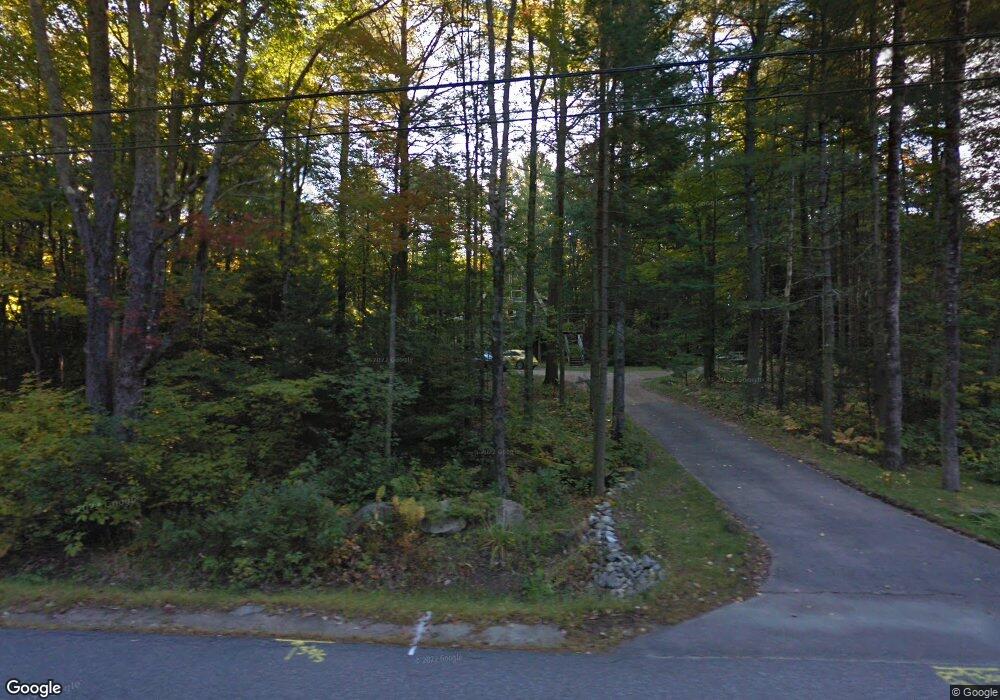
24 Merrill Rd Freeport, ME 04032
Estimated Value: $546,000 - $671,000
3
Beds
3
Baths
2,207
Sq Ft
$280/Sq Ft
Est. Value
About This Home
This home is located at 24 Merrill Rd, Freeport, ME 04032 and is currently estimated at $617,036, approximately $279 per square foot. 24 Merrill Rd is a home with nearby schools including Morse Street School, Mast Landing School, and Freeport Middle School.
Create a Home Valuation Report for This Property
The Home Valuation Report is an in-depth analysis detailing your home's value as well as a comparison with similar homes in the area
Home Values in the Area
Average Home Value in this Area
Tax History
| Year | Tax Paid | Tax Assessment Tax Assessment Total Assessment is a certain percentage of the fair market value that is determined by local assessors to be the total taxable value of land and additions on the property. | Land | Improvement |
|---|---|---|---|---|
| 2025 | $5,226 | $377,300 | $148,200 | $229,100 |
| 2024 | $4,942 | $370,200 | $141,100 | $229,100 |
| 2023 | $4,507 | $327,800 | $128,200 | $199,600 |
| 2022 | $4,373 | $320,400 | $120,800 | $199,600 |
| 2021 | $4,279 | $320,500 | $120,800 | $199,700 |
| 2020 | $4,168 | $297,700 | $111,900 | $185,800 |
| 2019 | $4,014 | $280,700 | $105,600 | $175,100 |
| 2018 | $3,927 | $260,900 | $98,700 | $162,200 |
| 2017 | $3,711 | $248,200 | $96,400 | $151,800 |
| 2016 | $3,685 | $233,200 | $89,200 | $144,000 |
| 2015 | $3,666 | $218,200 | $84,700 | $133,500 |
| 2014 | $3,448 | $218,200 | $84,700 | $133,500 |
| 2013 | $3,447 | $217,500 | $84,100 | $133,400 |
Source: Public Records
Map
Nearby Homes
- 62 Webster Rd
- 39 Hunter Rd
- 4 Harper's Trail
- 67 Farmview Ln
- 27 Youngs Ln Unit 27
- 10 Durham Rd
- 15 Linwood Rd Unit 15
- 42 Durham Rd
- 5 Holbrook St
- 20 Harvest Ridge Rd Unit 23
- 26 Harvest Ridge Rd Unit 24
- 8 Statler Ln
- 2 Tidal Brook Rd
- 212 Main St
- 238 Hallowell Rd
- 143 Bragdon Rd
- 11 Orchard Hill Rd
- 1 Wardtown Rd
- 508 Mountfort Rd
- 1260 Us Route 1
Your Personal Tour Guide
Ask me questions while you tour the home.