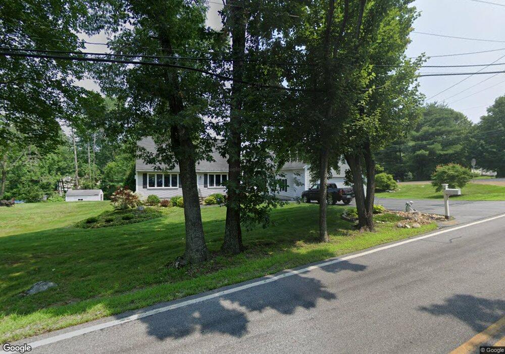
24 Morrill Rd Hooksett, NH 03106
Estimated Value: $632,924 - $680,000
3
Beds
2
Baths
2,222
Sq Ft
$297/Sq Ft
Est. Value
About This Home
This home is located at 24 Morrill Rd, Hooksett, NH 03106 and is currently estimated at $658,981, approximately $296 per square foot. 24 Morrill Rd is a home located in Merrimack County with nearby schools including Fred C. Underhill School, Hooksett Memorial School, and David R. Cawley Middle School.
Ownership History
Date
Name
Owned For
Owner Type
Purchase Details
Closed on
Jul 28, 2021
Sold by
Bellaud Lise A
Bought by
Lise A Bellaud Ret
Current Estimated Value
Purchase Details
Closed on
May 2, 1985
Bought by
Bellaud Ronald D and Bellaud Lise A
Create a Home Valuation Report for This Property
The Home Valuation Report is an in-depth analysis detailing your home's value as well as a comparison with similar homes in the area
Home Values in the Area
Average Home Value in this Area
Purchase History
| Date | Buyer | Sale Price | Title Company |
|---|---|---|---|
| Lise A Bellaud Ret | -- | None Available | |
| Bellaud Ronald D | -- | -- |
Source: Public Records
Mortgage History
| Date | Status | Borrower | Loan Amount |
|---|---|---|---|
| Previous Owner | Bellaud Ronald D | $244,500 |
Source: Public Records
Tax History
| Year | Tax Paid | Tax Assessment Tax Assessment Total Assessment is a certain percentage of the fair market value that is determined by local assessors to be the total taxable value of land and additions on the property. | Land | Improvement |
|---|---|---|---|---|
| 2024 | $9,881 | $582,600 | $140,500 | $442,100 |
| 2023 | $9,310 | $582,600 | $140,500 | $442,100 |
| 2022 | $8,365 | $347,800 | $95,900 | $251,900 |
| 2021 | $7,728 | $347,800 | $95,900 | $251,900 |
| 2020 | $7,829 | $347,800 | $95,900 | $251,900 |
| 2019 | $7,495 | $347,800 | $95,900 | $251,900 |
| 2018 | $7,693 | $347,800 | $95,900 | $251,900 |
| 2017 | $7,944 | $297,100 | $88,100 | $209,000 |
| 2016 | $9,851 | $297,100 | $88,100 | $209,000 |
| 2015 | $7,344 | $297,100 | $88,100 | $209,000 |
| 2014 | $7,377 | $297,100 | $88,100 | $209,000 |
| 2013 | $6,976 | $297,100 | $88,100 | $209,000 |
Source: Public Records
Map
Nearby Homes
- 19 Mammoth Rd
- 36 Prescott Heights Rd
- 1095 1097 1099 Hooksett Rd Unit 73, 74, 75
- 1099 Hooksett Rd Unit 73
- 1097 Hooksett Rd Unit 74
- 192 Londonderry Turnpike
- 1095 Hooksett Rd
- 267 Londonderry Turnpike
- 13 Johns Dr
- 8 Harvest Dr
- 286B Londonderry Turnpike Unit A
- 9 Lancelot Dr
- 6 Golden Gate Dr
- 34 Mammoth Rd Unit 27
- 41 Golden Gate Dr
- 15 Joanne Dr
- 19 W Stearns Ave
- 11 Barberry St
- 9 Quarry Rd
- 142 Bicentennial Dr
- 3 Debbie St
- 4 Debbie St
- 26 Morrill Rd
- 25 Morrill Rd
- 8 Debbie St
- 27 Morrill Rd
- 23 Morrill Rd
- 7 Debbie St
- 22 Morrill Rd
- 28 Morrill Rd
- 2 Forest Hills Rd
- 8 Wimbledon Heights
- 2 Forest Hills Rd
- 10 Debbie St
- 29 Morrill Rd
- 6 Forest Hills Rd
- 7 Wimbledon Heights
- 31 Morrill Rd
- 6 Forest Hills Rd
- 14 Wimbledon Heights
Your Personal Tour Guide
Ask me questions while you tour the home.