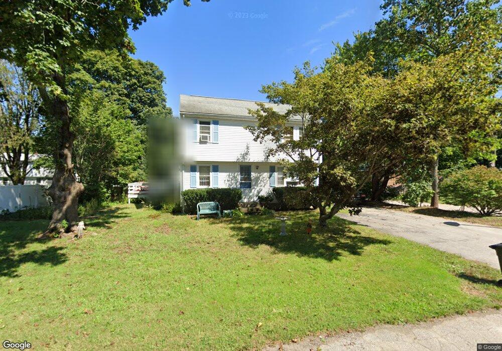
24 Nadeau Dr Wrentham, MA 02093
Estimated Value: $514,000 - $613,000
4
Beds
1
Bath
1,372
Sq Ft
$416/Sq Ft
Est. Value
About This Home
This home is located at 24 Nadeau Dr, Wrentham, MA 02093 and is currently estimated at $570,540, approximately $415 per square foot. 24 Nadeau Dr is a home located in Norfolk County with nearby schools including Delaney Elementary School, Charles E Roderick, and The Sage School.
Ownership History
Date
Name
Owned For
Owner Type
Purchase Details
Closed on
Aug 25, 2021
Sold by
Bezema Martin B
Bought by
Bezema 24 Nt
Current Estimated Value
Purchase Details
Closed on
Jul 3, 2000
Sold by
Kleimola James D and Kleimola Florence
Bought by
Nadeau Rt
Create a Home Valuation Report for This Property
The Home Valuation Report is an in-depth analysis detailing your home's value as well as a comparison with similar homes in the area
Home Values in the Area
Average Home Value in this Area
Purchase History
| Date | Buyer | Sale Price | Title Company |
|---|---|---|---|
| Bezema 24 Nt | -- | None Available | |
| Bezema Martin B | -- | None Available | |
| Nadeau Rt | $170,000 | -- |
Source: Public Records
Mortgage History
| Date | Status | Borrower | Loan Amount |
|---|---|---|---|
| Previous Owner | Nadeau Rt | $104,250 | |
| Previous Owner | Nadeau Rt | $98,200 |
Source: Public Records
Tax History Compared to Growth
Tax History
| Year | Tax Paid | Tax Assessment Tax Assessment Total Assessment is a certain percentage of the fair market value that is determined by local assessors to be the total taxable value of land and additions on the property. | Land | Improvement |
|---|---|---|---|---|
| 2025 | $5,527 | $476,900 | $258,900 | $218,000 |
| 2024 | $5,393 | $449,400 | $258,900 | $190,500 |
| 2023 | $5,034 | $398,900 | $235,400 | $163,500 |
| 2022 | $4,887 | $357,500 | $219,600 | $137,900 |
| 2021 | $4,483 | $318,600 | $191,700 | $126,900 |
| 2020 | $4,363 | $306,200 | $170,500 | $135,700 |
| 2019 | $4,237 | $300,100 | $170,500 | $129,600 |
| 2018 | $4,370 | $306,900 | $170,600 | $136,300 |
| 2017 | $4,144 | $290,800 | $167,300 | $123,500 |
| 2016 | $4,050 | $283,600 | $162,400 | $121,200 |
| 2015 | $3,934 | $262,600 | $156,200 | $106,400 |
| 2014 | $3,886 | $253,800 | $150,200 | $103,600 |
Source: Public Records
Map
Nearby Homes
- 155 Clark Rd Unit 155
- 362 East St
- 65 Pond St
- 120 Hawes St
- 483 Thurston St
- 1 Lorraine Metcalf Dr
- 319 Taunton St
- 270 Dedham St
- 10 Nature View Dr
- 15 Nature View Dr
- 25 Foxboro Rd
- 131 Washington St Unit 42
- 11 Goodwin Dr
- 11 Earle Stewart Ln
- 131 Creek St Unit 7
- Lot 1 - Blueberry 2 Car Plan at King Philip Estates
- Lot 8 - Blueberry 2 Car Plan at King Philip Estates
- Lot 5 - Hughes 2 car Plan at King Philip Estates
- Lot 6 - Blueberry 3 Car Plan at King Philip Estates
- Lot 2 - Camden 2 Car Plan at King Philip Estates