24 Narrow Point Rd Wakefield, NH 03830
Estimated Value: $716,000 - $926,713
2
Beds
2
Baths
2,304
Sq Ft
$364/Sq Ft
Est. Value
About This Home
This home is located at 24 Narrow Point Rd, Wakefield, NH 03830 and is currently estimated at $839,178, approximately $364 per square foot. 24 Narrow Point Rd is a home located in Carroll County with nearby schools including Paul Elementary School.
Ownership History
Date
Name
Owned For
Owner Type
Purchase Details
Closed on
Mar 27, 2009
Sold by
West Robert S and Reid Donna J
Bought by
Morton Glenn A and Morton Sherry M
Current Estimated Value
Home Financials for this Owner
Home Financials are based on the most recent Mortgage that was taken out on this home.
Original Mortgage
$206,000
Outstanding Balance
$131,617
Interest Rate
5.14%
Mortgage Type
Purchase Money Mortgage
Estimated Equity
$707,561
Create a Home Valuation Report for This Property
The Home Valuation Report is an in-depth analysis detailing your home's value as well as a comparison with similar homes in the area
Home Values in the Area
Average Home Value in this Area
Purchase History
| Date | Buyer | Sale Price | Title Company |
|---|---|---|---|
| Morton Glenn A | $257,500 | -- |
Source: Public Records
Mortgage History
| Date | Status | Borrower | Loan Amount |
|---|---|---|---|
| Open | Morton Glenn A | $206,000 |
Source: Public Records
Tax History Compared to Growth
Tax History
| Year | Tax Paid | Tax Assessment Tax Assessment Total Assessment is a certain percentage of the fair market value that is determined by local assessors to be the total taxable value of land and additions on the property. | Land | Improvement |
|---|---|---|---|---|
| 2024 | $6,022 | $800,800 | $424,600 | $376,200 |
| 2023 | $5,731 | $836,700 | $448,200 | $388,500 |
| 2022 | $4,817 | $393,200 | $169,900 | $223,300 |
| 2021 | $4,852 | $393,200 | $169,900 | $223,300 |
| 2020 | $4,868 | $393,200 | $169,900 | $223,300 |
| 2019 | $4,866 | $390,200 | $169,900 | $220,300 |
| 2018 | $3,915 | $390,200 | $169,900 | $220,300 |
| 2017 | $4,030 | $312,900 | $160,900 | $152,000 |
| 2016 | $4,049 | $312,900 | $160,900 | $152,000 |
| 2015 | $4,086 | $312,900 | $160,900 | $152,000 |
| 2014 | $3,986 | $312,900 | $160,900 | $152,000 |
| 2013 | $3,847 | $313,300 | $160,900 | $152,400 |
Source: Public Records
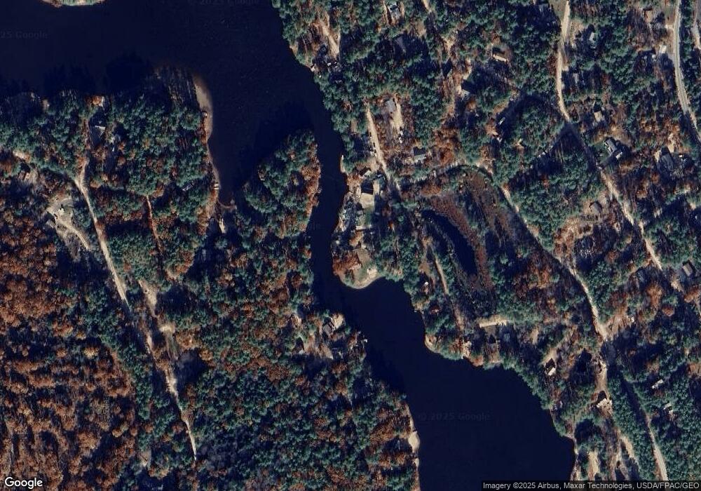
Map
Nearby Homes
- 388 Belleau Blvd
- 419 Belleau Blvd
- 201 Beverly Hills Dr
- 82 Robinhood Rd
- 314 Beverly Hills Dr
- 420 Ballards Ridge Rd
- 368 Ballards Ridge Rd
- 21 N Desmond Dr
- 188 N Desmond Dr
- 8 Eliot Dr
- TBD Wakefield Rd
- 0 Province Lake Rd Unit 22854991
- 51 Mill Pond Rd
- 00 Diane Place Unit 5
- Lot 6 Pick Pocket Rd
- 450 Leighton Corner Rd
- 350 Concord Ln Unit 20
- Lot 2 Leighton Corner Rd
- 0 Leighton Corner Rd
- 00 Leighton Corner Rd
- 22 Narrows Point Rd
- 25 Narrows Point Rd
- 15 McGuiness Way
- 15 Mcginnis Way
- 389 Belleau Blvd
- 81 Mcginnis Way
- 150 Lexington Dr
- 136 Lexington Dr
- 162 Lexington Dr
- 393 Belleau Blvd
- 230 Fisher Rd
- 403 Belleau Blvd
- 150 Fisher Rd
- 163 Lexington Dr
- 00 Gold Coast Dr
- 0 Gold Coast Dr
- 0 Gold Coast Dr Unit 726925
- 0 Gold Coast Dr Unit 4343486
- 00 Gold Coast Dr Unit Tax Map 35 - Lot 42
- 0 Gold Coast Dr Unit 4741288