24 Nathaniel Way Georgetown, ME 04548
Georgetown NeighborhoodEstimated Value: $1,087,000 - $1,713,000
--
Bed
--
Bath
--
Sq Ft
4.19
Acres
About This Home
This home is located at 24 Nathaniel Way, Georgetown, ME 04548 and is currently estimated at $1,486,957. 24 Nathaniel Way is a home.
Ownership History
Date
Name
Owned For
Owner Type
Purchase Details
Closed on
Mar 29, 2019
Sold by
Hasenfus Barbara B
Bought by
Georgetown Ft
Current Estimated Value
Home Financials for this Owner
Home Financials are based on the most recent Mortgage that was taken out on this home.
Original Mortgage
$300,000
Outstanding Balance
$263,753
Interest Rate
4.3%
Mortgage Type
New Conventional
Estimated Equity
$1,223,204
Create a Home Valuation Report for This Property
The Home Valuation Report is an in-depth analysis detailing your home's value as well as a comparison with similar homes in the area
Home Values in the Area
Average Home Value in this Area
Purchase History
| Date | Buyer | Sale Price | Title Company |
|---|---|---|---|
| Georgetown Ft | -- | -- |
Source: Public Records
Mortgage History
| Date | Status | Borrower | Loan Amount |
|---|---|---|---|
| Open | Georgetown Ft | $300,000 |
Source: Public Records
Tax History Compared to Growth
Tax History
| Year | Tax Paid | Tax Assessment Tax Assessment Total Assessment is a certain percentage of the fair market value that is determined by local assessors to be the total taxable value of land and additions on the property. | Land | Improvement |
|---|---|---|---|---|
| 2024 | $9,620 | $1,598,000 | $1,260,800 | $337,200 |
| 2023 | $8,288 | $850,000 | $636,800 | $213,200 |
| 2022 | $7,514 | $850,000 | $636,800 | $213,200 |
| 2021 | $7,013 | $850,000 | $636,800 | $213,200 |
| 2020 | $6,885 | $850,000 | $636,800 | $213,200 |
| 2019 | $6,630 | $850,000 | $636,800 | $213,200 |
| 2018 | $6,545 | $850,000 | $636,800 | $213,200 |
| 2017 | $6,503 | $850,000 | $636,800 | $213,200 |
| 2016 | $6,503 | $850,000 | $636,800 | $213,200 |
| 2015 | $6,273 | $850,000 | $636,800 | $213,200 |
| 2014 | $6,273 | $850,000 | $636,800 | $213,200 |
| 2013 | $6,035 | $850,000 | $636,800 | $213,200 |
Source: Public Records
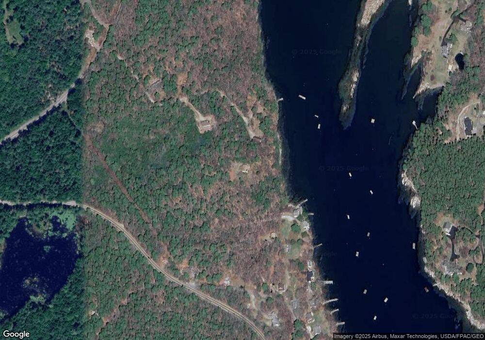
Map
Nearby Homes
- Lot 17A Snowman Ln
- 12 Spruce Gum Ln
- 1 Plum Ln Unit D
- 15 Blueberry Hill Rd
- 25 N End Rd
- 68 Narrows Way
- 461 Hendricks Hill Rd
- 11 Youngs Rd
- 129 Five Islands Rd
- 14 Pinkie Ln
- 119 Knubble Bay Rd
- 124 Main Rd
- 17-1 Bald Head Rd
- 1020 Hendricks Hill Rd
- Lot 3 Osprey Landing Dr
- Lot 2 Osprey Landing Dr
- 22 Gray Rd
- 742 Old Stage Rd
- 17 Cedar Ln Unit 17
- 3 Cedar Ln Unit 3
- 46 Stevens Ln
- 44 Stevens Ln
- 42 Nathaniel Way
- 41 Nathaniel Way
- 18 Harmons Harbor Rd
- 20 Harmons Harbor Rd
- 10 Harmons Harbor Rd
- 24 Harmon's Harbor Rd
- 4 Harmons Harbor Rd
- 54 Seguinland Rd
- 16 Stevens Ln
- 6 Clark Ln
- 26 Harmons Harbor Rd
- 23 Stevens Ln
- 6 Pilot House Ln
- 7 Clark Ln
- 15 Harmons Harbor Rd
- 15 Harmon's Harbor Rd
- 2 Pilot House Ln
- Lot 17 Snowman Ln