24 Olde Mill Brook Rd Dunbarton, NH 03046
Estimated Value: $647,217 - $772,000
4
Beds
3
Baths
2,026
Sq Ft
$350/Sq Ft
Est. Value
About This Home
This home is located at 24 Olde Mill Brook Rd, Dunbarton, NH 03046 and is currently estimated at $710,054, approximately $350 per square foot. 24 Olde Mill Brook Rd is a home located in Merrimack County with nearby schools including Dunbarton Elementary School, Bow Memorial School, and Bow High School.
Ownership History
Date
Name
Owned For
Owner Type
Purchase Details
Closed on
May 29, 2015
Sold by
Champagne Amy and Champagne Sebastien N
Bought by
Goodreau Allen M and Goodeau Lisa
Current Estimated Value
Home Financials for this Owner
Home Financials are based on the most recent Mortgage that was taken out on this home.
Original Mortgage
$279,000
Outstanding Balance
$215,319
Interest Rate
3.65%
Mortgage Type
New Conventional
Estimated Equity
$494,735
Purchase Details
Closed on
Feb 23, 2007
Sold by
Gps Props Inc
Bought by
Champagne Sebastien N and Champagne Amy M
Home Financials for this Owner
Home Financials are based on the most recent Mortgage that was taken out on this home.
Original Mortgage
$323,000
Interest Rate
6.23%
Mortgage Type
Purchase Money Mortgage
Create a Home Valuation Report for This Property
The Home Valuation Report is an in-depth analysis detailing your home's value as well as a comparison with similar homes in the area
Home Values in the Area
Average Home Value in this Area
Purchase History
| Date | Buyer | Sale Price | Title Company |
|---|---|---|---|
| Goodreau Allen M | $310,000 | -- | |
| Champagne Sebastien N | $340,000 | -- |
Source: Public Records
Mortgage History
| Date | Status | Borrower | Loan Amount |
|---|---|---|---|
| Open | Champagne Sebastien N | $279,000 | |
| Previous Owner | Champagne Sebastien N | $323,000 | |
| Previous Owner | Champagne Sebastien N | $323,000 |
Source: Public Records
Tax History Compared to Growth
Tax History
| Year | Tax Paid | Tax Assessment Tax Assessment Total Assessment is a certain percentage of the fair market value that is determined by local assessors to be the total taxable value of land and additions on the property. | Land | Improvement |
|---|---|---|---|---|
| 2024 | $8,748 | $331,600 | $83,500 | $248,100 |
| 2023 | $8,479 | $331,600 | $83,500 | $248,100 |
| 2022 | $7,620 | $331,600 | $83,500 | $248,100 |
| 2021 | $7,763 | $331,600 | $83,500 | $248,100 |
| 2020 | $7,388 | $331,600 | $83,500 | $248,100 |
| 2018 | $6,137 | $272,400 | $74,700 | $197,700 |
| 2017 | $6,825 | $266,500 | $74,700 | $191,800 |
| 2016 | $6,268 | $261,400 | $74,700 | $186,700 |
| 2015 | $6,166 | $261,400 | $74,700 | $186,700 |
| 2014 | $5,820 | $275,300 | $74,700 | $200,600 |
| 2013 | $5,784 | $275,300 | $74,700 | $200,600 |
Source: Public Records
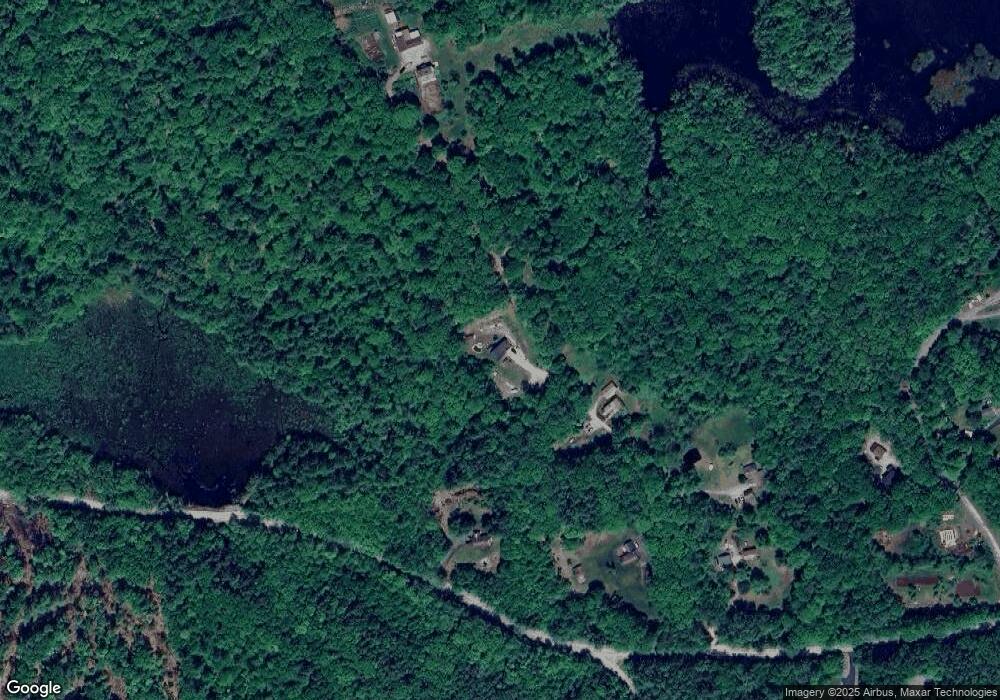
Map
Nearby Homes
- 0 Fairway Dr Unit 11
- 22 Fairway Dr
- 78 Rangeway Rd
- 3 Stephanie Rd
- 15 Robert Rogers Rd
- 1003 School St
- 602 Black Brook Rd
- 88 Saunders Rd
- 45 Range Rd
- 174 S Stark Hwy Unit 13
- 174 S Stark Hwy Unit 1
- 174 S Stark Hwy Unit 23
- 849 River Rd
- 22 Winter Hill Rd
- 43 Sterling Place
- 1 Hop Kiln Rd
- 104 Brown Hill Rd
- 99 Elm St
- 137 Elm St
- 227 Twist Hill Rd
- 1072 Black Brook Rd
- 19 Olde Mill Brook Rd
- 2 Long Pond Rd
- 11 Olde Mill Brook Rd
- 39 Olde Mill Brook Rd
- 1 Olde Mill Brook Rd
- 17 Long Pond Rd
- 28 Long Pond Rd
- 1034 Black Brook Rd
- 1032 Black Brook Rd
- 26 Long Pond Rd
- 30 Long Pond Rd
- 21 Long Pond Rd
- 1031 Black Brook Rd
- 40 Long Pond Rd
- 25 Long Pond Rd
- 1112 Black Brook Rd
- 36 Long Pond Rd
- 35 Long Pond Rd
- 210 Stark Hwy S