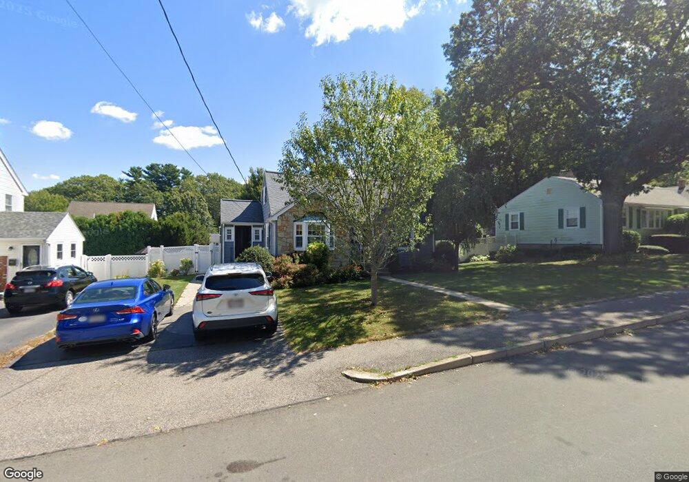
24 Olofson St Braintree, MA 02184
Braintree Highlands NeighborhoodEstimated Value: $745,329 - $915,000
4
Beds
2
Baths
1,824
Sq Ft
$437/Sq Ft
Est. Value
About This Home
This home is located at 24 Olofson St, Braintree, MA 02184 and is currently estimated at $797,332, approximately $437 per square foot. 24 Olofson St is a home located in Norfolk County with nearby schools including Braintree High School, Boston Higashi School, and Lighthouse Baptist Christian Academy.
Ownership History
Date
Name
Owned For
Owner Type
Purchase Details
Closed on
Nov 2, 2022
Sold by
Mcgee John F and Mcgee Geraldine T
Bought by
Olofsson St Mcgee Ft
Current Estimated Value
Purchase Details
Closed on
Oct 31, 2001
Sold by
Mccarthy Virginia A and Mccarthy Cathleen H
Bought by
Mcgee John F and Mcgee Geraldine T
Home Financials for this Owner
Home Financials are based on the most recent Mortgage that was taken out on this home.
Original Mortgage
$240,000
Interest Rate
6.82%
Mortgage Type
Purchase Money Mortgage
Purchase Details
Closed on
Jul 28, 1987
Sold by
Defrancesco F A
Bought by
Mccarthy Virginia A
Create a Home Valuation Report for This Property
The Home Valuation Report is an in-depth analysis detailing your home's value as well as a comparison with similar homes in the area
Home Values in the Area
Average Home Value in this Area
Purchase History
| Date | Buyer | Sale Price | Title Company |
|---|---|---|---|
| Olofsson St Mcgee Ft | -- | None Available | |
| Mcgee John F | $300,000 | -- | |
| Mccarthy Virginia A | $193,000 | -- |
Source: Public Records
Mortgage History
| Date | Status | Borrower | Loan Amount |
|---|---|---|---|
| Previous Owner | Mccarthy Virginia A | $50,000 | |
| Previous Owner | Mccarthy Virginia A | $195,500 | |
| Previous Owner | Mccarthy Virginia A | $240,000 |
Source: Public Records
Tax History Compared to Growth
Tax History
| Year | Tax Paid | Tax Assessment Tax Assessment Total Assessment is a certain percentage of the fair market value that is determined by local assessors to be the total taxable value of land and additions on the property. | Land | Improvement |
|---|---|---|---|---|
| 2025 | $6,431 | $644,400 | $342,500 | $301,900 |
| 2024 | $5,754 | $607,000 | $310,900 | $296,100 |
| 2023 | $5,462 | $559,600 | $279,400 | $280,200 |
| 2022 | $5,298 | $532,500 | $252,300 | $280,200 |
| 2021 | $4,819 | $484,300 | $228,000 | $256,300 |
| 2020 | $4,571 | $463,600 | $207,300 | $256,300 |
| 2019 | $4,397 | $435,800 | $198,300 | $237,500 |
| 2018 | $4,301 | $408,100 | $180,200 | $227,900 |
| 2017 | $4,184 | $389,600 | $171,200 | $218,400 |
| 2016 | $4,108 | $374,100 | $162,200 | $211,900 |
| 2015 | $3,754 | $339,100 | $135,200 | $203,900 |
| 2014 | $3,629 | $317,800 | $129,800 | $188,000 |
Source: Public Records
Map
Nearby Homes
- 7 Drake St
- 116 Cardinal Ct
- 1696 Liberty St
- 30 Milton Rd
- 44 Livoli Ave
- 129 Albee Dr
- 16 Winthrop Ave
- 56 Woodside Ave
- 70 Christina Dr
- 1579 Washington St
- 115 Richard Rd
- 373 N Franklin St
- 117 Amherst Rd
- 30 Bradford Commons Ln
- 75 Bradford Commons Ln Unit 75
- 86 Bradford Commons Ln
- 111 Bradford Commons Ln Unit 111
- 45 Forest St
- 134 Tyson Commons Ln
- 206 Allerton Commons Ln Unit 206