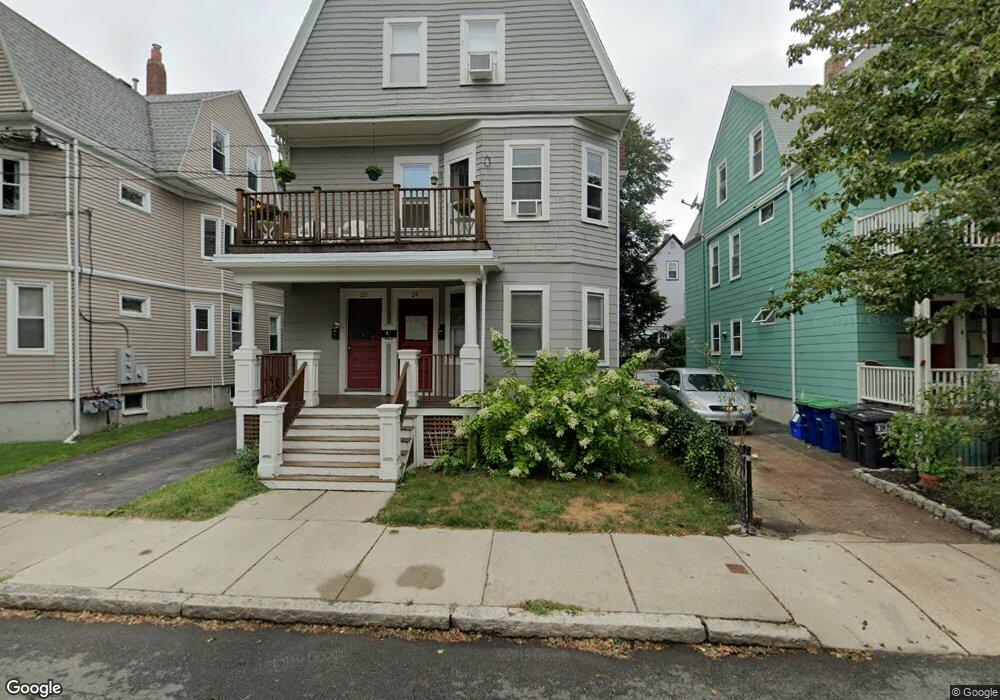
24 Pearson Ave Unit 1 Somerville, MA 02144
Ball Square NeighborhoodEstimated Value: $683,000 - $810,000
2
Beds
1
Bath
1,004
Sq Ft
$746/Sq Ft
Est. Value
About This Home
This home is located at 24 Pearson Ave Unit 1, Somerville, MA 02144 and is currently estimated at $749,010, approximately $746 per square foot. 24 Pearson Ave Unit 1 is a home located in Middlesex County with nearby schools including Somerville High School, St. Clement Elementary School, and Saint Theresa School.
Ownership History
Date
Name
Owned For
Owner Type
Purchase Details
Closed on
Aug 31, 2005
Sold by
Walzer Janet
Bought by
Carroll Deborah A
Current Estimated Value
Home Financials for this Owner
Home Financials are based on the most recent Mortgage that was taken out on this home.
Original Mortgage
$225,000
Outstanding Balance
$120,073
Interest Rate
5.81%
Mortgage Type
Purchase Money Mortgage
Estimated Equity
$628,937
Create a Home Valuation Report for This Property
The Home Valuation Report is an in-depth analysis detailing your home's value as well as a comparison with similar homes in the area
Home Values in the Area
Average Home Value in this Area
Purchase History
| Date | Buyer | Sale Price | Title Company |
|---|---|---|---|
| Carroll Deborah A | $330,000 | -- |
Source: Public Records
Mortgage History
| Date | Status | Borrower | Loan Amount |
|---|---|---|---|
| Open | Carroll Deborah A | $225,000 |
Source: Public Records
Tax History
| Year | Tax Paid | Tax Assessment Tax Assessment Total Assessment is a certain percentage of the fair market value that is determined by local assessors to be the total taxable value of land and additions on the property. | Land | Improvement |
|---|---|---|---|---|
| 2025 | $6,767 | $620,300 | $0 | $620,300 |
| 2024 | $6,394 | $607,800 | $0 | $607,800 |
| 2023 | $6,203 | $599,900 | $0 | $599,900 |
| 2022 | $5,876 | $577,200 | $0 | $577,200 |
| 2021 | $5,647 | $554,200 | $0 | $554,200 |
| 2020 | $5,412 | $536,400 | $0 | $536,400 |
| 2019 | $5,592 | $519,700 | $0 | $519,700 |
| 2018 | $5,713 | $505,100 | $0 | $505,100 |
| 2017 | $5,099 | $436,900 | $0 | $436,900 |
| 2016 | $4,978 | $397,300 | $0 | $397,300 |
| 2015 | $4,477 | $355,000 | $0 | $355,000 |
Source: Public Records
Map
Nearby Homes
- 69 Boston Ave
- 13 Warwick St
- 156 Albion St Unit B
- 355 Highland Ave Unit 3
- 49 Cherry St Unit 1
- 595 Broadway Unit 302
- 595 Broadway Unit 101
- 595 Broadway Unit 202
- 371 Highland Ave
- 68 Winslow Ave
- 34 Hinckley St Unit 1
- 118 Albion St Unit 2
- 32 Richardson St
- 3 Vinal St
- 8 Albion Terrace
- 353 Summer St Unit 310
- 622 Boston Ave Unit 7A
- 206 Lowell St
- 496 Medford St
- 26 Warner St
- 22 Pearson Ave Unit 3
- 22 Pearson Ave Unit 2
- 20 Pearson Ave Unit 1
- 20 Pearson Ave
- 26 Pearson Ave
- 18 Pearson Ave Unit 3
- 18 Pearson Ave Unit 2
- 18 Pearson Ave
- 32 Pearson Ave Unit 1
- 16 Pearson Ave Unit 1
- 30 Pearson Ave Unit 3
- 30 Pearson Ave Unit 2
- 30 Pearson Ave Unit 32
- 30 Pearson Ave
- 35 Highland Rd
- 17 Pearson Ave Unit 3
- 17 Pearson Ave Unit 2
- 19 Pearson Ave Unit 1
- 19 Pearson Ave Unit 1,19
- 14 Pearson Ave Unit 3
Your Personal Tour Guide
Ask me questions while you tour the home.