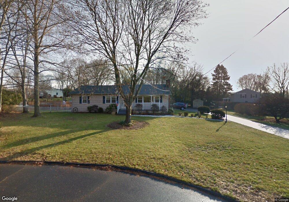
24 Pheasant Ln Norwalk, CT 06854
Brookside NeighborhoodEstimated Value: $773,000 - $909,000
4
Beds
3
Baths
1,672
Sq Ft
$496/Sq Ft
Est. Value
About This Home
This home is located at 24 Pheasant Ln, Norwalk, CT 06854 and is currently estimated at $828,849, approximately $495 per square foot. 24 Pheasant Ln is a home located in Fairfield County with nearby schools including Brookside Elementary School, Roton Middle School, and Brien Mcmahon High School.
Ownership History
Date
Name
Owned For
Owner Type
Purchase Details
Closed on
Jan 27, 2003
Sold by
Sucke John H and Sucke Greer W
Bought by
Spellman Martin N and Spellman Donna
Current Estimated Value
Purchase Details
Closed on
Dec 30, 1993
Sold by
Manly Mark and Manly Tamara
Bought by
Sucke John and Sucke Greer
Purchase Details
Closed on
Nov 9, 1989
Sold by
Walters Gary
Bought by
Manly Mark
Create a Home Valuation Report for This Property
The Home Valuation Report is an in-depth analysis detailing your home's value as well as a comparison with similar homes in the area
Home Values in the Area
Average Home Value in this Area
Purchase History
| Date | Buyer | Sale Price | Title Company |
|---|---|---|---|
| Spellman Martin N | $444,000 | -- | |
| Spellman Martin N | $444,000 | -- | |
| Sucke John | $270,000 | -- | |
| Sucke John | $270,000 | -- | |
| Manly Mark | $265,000 | -- |
Source: Public Records
Mortgage History
| Date | Status | Borrower | Loan Amount |
|---|---|---|---|
| Open | Manly Mark | $364,000 | |
| Closed | Manly Mark | $96,612 |
Source: Public Records
Tax History Compared to Growth
Tax History
| Year | Tax Paid | Tax Assessment Tax Assessment Total Assessment is a certain percentage of the fair market value that is determined by local assessors to be the total taxable value of land and additions on the property. | Land | Improvement |
|---|---|---|---|---|
| 2025 | $11,054 | $461,630 | $235,680 | $225,950 |
| 2024 | $10,890 | $461,630 | $235,680 | $225,950 |
| 2023 | $9,006 | $357,940 | $199,420 | $158,520 |
| 2022 | $8,838 | $357,940 | $199,420 | $158,520 |
| 2021 | $8,608 | $357,940 | $199,420 | $158,520 |
| 2020 | $8,604 | $357,940 | $199,420 | $158,520 |
| 2019 | $8,363 | $357,940 | $199,420 | $158,520 |
| 2018 | $8,923 | $334,670 | $206,970 | $127,700 |
| 2017 | $8,616 | $334,660 | $206,970 | $127,690 |
| 2016 | $8,534 | $334,670 | $206,970 | $127,700 |
| 2015 | $8,511 | $334,670 | $206,970 | $127,700 |
| 2014 | $8,400 | $334,670 | $206,970 | $127,700 |
Source: Public Records
Map
Nearby Homes
- 19 Woodchuck Ct
- 9 Hollow Spring Rd
- 5 Wakeman Rd
- 40 Arnold Ln
- 105 Richards Ave Unit 2305
- 97 Richards Ave Unit B10
- 97 Richards Ave Unit E12
- 19 Littlebrook Rd
- 7 Hadik Pkwy
- 133 Rowayton Woods Dr
- 171 Rowayton Woods Dr Unit 171
- 13 Joemar Rd
- 47 Glasser St
- 9 Observatory Place Unit A
- 17 Woodlawn Ave
- 39 Chatham Dr
- 181 Highland Ave
- 5 Rockland Rd Unit A8
- 18 Soundview Ave
- 10 Pine Brook Ln
- 22 Cottontail Rd
- 20 Cottontail Rd
- 26 Pheasant Ln
- 427 Rowayton Ave
- 429 Rowayton Ave
- 425 Rowayton Ave
- 24 Cottontail Rd
- 25 Pheasant Ln
- 431 Rowayton Ave
- 423 Rowayton Ave
- 18 Pheasant Ln
- 433 Rowayton Ave
- 16 Cottontail Rd
- 26 Cottontail Rd
- 27 Pheasant Ln
- 25 Cottontail Rd
- 10 Cottontail Rd
- 435 Rowayton Ave
- 428 Rowayton Ave
- 17 Pheasant Ln