24 Phillips Pond Rd Natick, MA 01760
Estimated Value: $1,468,324 - $1,609,000
4
Beds
3
Baths
3,147
Sq Ft
$497/Sq Ft
Est. Value
About This Home
This home is located at 24 Phillips Pond Rd, Natick, MA 01760 and is currently estimated at $1,563,331, approximately $496 per square foot. 24 Phillips Pond Rd is a home located in Middlesex County with nearby schools including Natick High School, Memorial Elementary School, and J F Kennedy Middle School.
Ownership History
Date
Name
Owned For
Owner Type
Purchase Details
Closed on
Sep 12, 2011
Sold by
Brennan J J and Brennan Maureen S
Bought by
Pressman Arthur L and Pressman Deborah M
Current Estimated Value
Home Financials for this Owner
Home Financials are based on the most recent Mortgage that was taken out on this home.
Original Mortgage
$682,500
Outstanding Balance
$438,346
Interest Rate
3%
Mortgage Type
Purchase Money Mortgage
Estimated Equity
$1,124,985
Purchase Details
Closed on
Apr 12, 2001
Sold by
Brody Ft
Bought by
Brennan J John and Brennan Maureen S
Purchase Details
Closed on
Sep 28, 1987
Sold by
Ketchum Rt
Bought by
Friedman Arnold I
Home Financials for this Owner
Home Financials are based on the most recent Mortgage that was taken out on this home.
Original Mortgage
$500,000
Interest Rate
10.37%
Mortgage Type
Purchase Money Mortgage
Create a Home Valuation Report for This Property
The Home Valuation Report is an in-depth analysis detailing your home's value as well as a comparison with similar homes in the area
Home Values in the Area
Average Home Value in this Area
Purchase History
| Date | Buyer | Sale Price | Title Company |
|---|---|---|---|
| Pressman Arthur L | $910,000 | -- | |
| Brennan J John | $793,000 | -- | |
| Friedman Arnold I | $625,000 | -- |
Source: Public Records
Mortgage History
| Date | Status | Borrower | Loan Amount |
|---|---|---|---|
| Open | Pressman Arthur L | $682,500 | |
| Previous Owner | Friedman Arnold I | $295,000 | |
| Previous Owner | Friedman Arnold I | $500,000 |
Source: Public Records
Tax History
| Year | Tax Paid | Tax Assessment Tax Assessment Total Assessment is a certain percentage of the fair market value that is determined by local assessors to be the total taxable value of land and additions on the property. | Land | Improvement |
|---|---|---|---|---|
| 2025 | $15,402 | $1,287,800 | $500,700 | $787,100 |
| 2024 | $14,793 | $1,206,600 | $474,300 | $732,300 |
| 2023 | $13,880 | $1,098,100 | $440,400 | $657,700 |
| 2022 | $13,083 | $980,700 | $396,400 | $584,300 |
| 2021 | $12,665 | $930,600 | $391,200 | $539,400 |
| 2020 | $12,452 | $914,900 | $375,500 | $539,400 |
| 2019 | $11,628 | $914,900 | $375,500 | $539,400 |
| 2018 | $10,988 | $842,000 | $344,200 | $497,800 |
| 2017 | $10,884 | $806,800 | $323,100 | $483,700 |
| 2016 | $10,884 | $802,100 | $323,100 | $479,000 |
| 2015 | $11,319 | $819,000 | $403,800 | $415,200 |
Source: Public Records
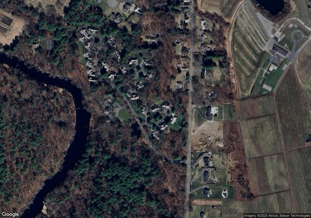
Map
Nearby Homes
- 23 Phillips Pond Rd
- 25 Phillips Pond Rd
- 21 Phillips Pond Rd
- 21 Phillips Pond Rd Unit 21,21
- 22 Phillips Pond Rd
- 26 Phillips Pond Rd
- 26 Phillips Pond Rd Unit 26
- 103 Glen St
- 20 Phillips Pond Rd
- 27 Phillips Pond Rd
- 28 Phillips Pond Rd
- 3 Phillips Pond Rd
- 1 Phillips Pond Rd
- 19 Phillips Pond Rd
- 17 Phillips Pond Rd
- 101 Glen St
- 16 Phillips Pond Rd
- 108 Glen St
- 102 Glen St
- 15 Phillips Pond Rd
Your Personal Tour Guide
Ask me questions while you tour the home.