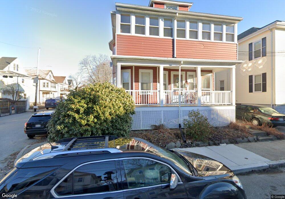
24 Pinkham Rd Medford, MA 02155
Medford Hillside NeighborhoodEstimated Value: $1,075,000 - $1,098,000
4
Beds
2
Baths
2,424
Sq Ft
$448/Sq Ft
Est. Value
About This Home
This home is located at 24 Pinkham Rd, Medford, MA 02155 and is currently estimated at $1,086,496, approximately $448 per square foot. 24 Pinkham Rd is a home located in Middlesex County with nearby schools including Medford High School, Saint Raphael School, and St. Clement Elementary School.
Ownership History
Date
Name
Owned For
Owner Type
Purchase Details
Closed on
Sep 30, 2011
Sold by
Filteau Theodore L and Nevadonski Janice A
Bought by
Ghandi Kamyar and Milevskaja Ana
Current Estimated Value
Home Financials for this Owner
Home Financials are based on the most recent Mortgage that was taken out on this home.
Original Mortgage
$322,500
Outstanding Balance
$220,487
Interest Rate
4.15%
Mortgage Type
Purchase Money Mortgage
Estimated Equity
$866,009
Create a Home Valuation Report for This Property
The Home Valuation Report is an in-depth analysis detailing your home's value as well as a comparison with similar homes in the area
Home Values in the Area
Average Home Value in this Area
Purchase History
| Date | Buyer | Sale Price | Title Company |
|---|---|---|---|
| Ghandi Kamyar | $430,000 | -- |
Source: Public Records
Mortgage History
| Date | Status | Borrower | Loan Amount |
|---|---|---|---|
| Open | Ghandi Kamyar | $322,500 |
Source: Public Records
Tax History Compared to Growth
Tax History
| Year | Tax Paid | Tax Assessment Tax Assessment Total Assessment is a certain percentage of the fair market value that is determined by local assessors to be the total taxable value of land and additions on the property. | Land | Improvement |
|---|---|---|---|---|
| 2025 | $7,539 | $884,900 | $346,800 | $538,100 |
| 2024 | $7,539 | $884,900 | $346,800 | $538,100 |
| 2023 | $7,377 | $852,800 | $324,100 | $528,700 |
| 2022 | $7,419 | $823,400 | $294,700 | $528,700 |
| 2021 | $6,976 | $741,300 | $280,700 | $460,600 |
| 2020 | $6,940 | $756,000 | $287,800 | $468,200 |
| 2019 | $6,634 | $691,000 | $261,700 | $429,300 |
| 2018 | $6,306 | $615,800 | $237,900 | $377,900 |
| 2017 | $5,916 | $560,200 | $222,300 | $337,900 |
| 2016 | $5,353 | $478,400 | $202,100 | $276,300 |
| 2015 | $5,111 | $436,800 | $192,500 | $244,300 |
Source: Public Records
Map
Nearby Homes
- 33 Hamilton St
- 33 Hamilton St Unit 2
- 33 Hamilton St Unit 1
- 78 Orchard St Unit 2
- 78 Orchard St Unit 1
- 76 Orchard St
- 16 Hamilton Rd
- 9 Woods Ave
- 395 Alewife Brook Pkwy Unit PH E
- 31 Fairfax St
- 79 Fairfax St Unit 79
- 130 Auburn St
- 63 Hillsdale Rd Unit 2
- 69 Sterling St
- 327 Alewife Brook Pkwy Unit A
- 21 High St
- 211 Arlington St
- 16 High St Unit 2
- 12 Temple St
- 58 Prescott St
- 28 Pinkham Rd
- 26 Pinkham Rd
- 32 Pinkham Rd
- 34 Pinkham Rd
- 32 Pinkham Rd Unit 2
- 32 Pinkham Rd Unit 1
- 34 Pinkham Rd Unit 1
- 27 Pinkham Rd
- 27 Pinkham Rd Unit 2
- 27 Pinkham Rd
- 27 Pinkham Rd
- 27 Pinkham Rd Unit 1
- 10 Eastman St
- 17 Stevens St
- 31 Pinkham Rd
- 23 Pinkham Rd
- 23 Pinkham Rd
- 23 Pinkham Rd Unit 23
- 23 Pinkham Rd Unit 2
- 35 Pinkham Rd Unit 2