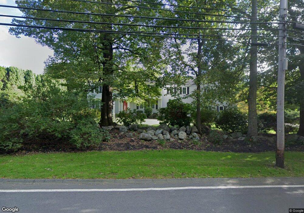
24 Porter Rd Andover, MA 01810
Southern Andover NeighborhoodEstimated Value: $1,397,447 - $2,163,000
4
Beds
3
Baths
3,856
Sq Ft
$451/Sq Ft
Est. Value
About This Home
This home is located at 24 Porter Rd, Andover, MA 01810 and is currently estimated at $1,739,362, approximately $451 per square foot. 24 Porter Rd is a home located in Essex County with nearby schools including South Elementary School, Doherty Middle School, and Andover High School.
Ownership History
Date
Name
Owned For
Owner Type
Purchase Details
Closed on
Mar 1, 2019
Sold by
Zhu Hongwei and Zhang Xiaoqi
Bought by
Zhu Ft
Current Estimated Value
Purchase Details
Closed on
Apr 25, 2008
Sold by
Edwards Diana
Bought by
Zhu Hongwei and Zhang Xiaoqi
Purchase Details
Closed on
Apr 3, 2006
Sold by
Edwards William H and Edwards Diana
Bought by
Edwards Diana
Purchase Details
Closed on
Jan 26, 1994
Sold by
Cypress Marjorie
Bought by
Edwards William H
Create a Home Valuation Report for This Property
The Home Valuation Report is an in-depth analysis detailing your home's value as well as a comparison with similar homes in the area
Home Values in the Area
Average Home Value in this Area
Purchase History
| Date | Buyer | Sale Price | Title Company |
|---|---|---|---|
| Zhu Ft | -- | -- | |
| Zhu Hongwei | $785,000 | -- | |
| Edwards Diana | -- | -- | |
| Edwards William H | $475,000 | -- |
Source: Public Records
Mortgage History
| Date | Status | Borrower | Loan Amount |
|---|---|---|---|
| Previous Owner | Edwards William H | $387,000 | |
| Previous Owner | Edwards William H | $401,000 |
Source: Public Records
Tax History
| Year | Tax Paid | Tax Assessment Tax Assessment Total Assessment is a certain percentage of the fair market value that is determined by local assessors to be the total taxable value of land and additions on the property. | Land | Improvement |
|---|---|---|---|---|
| 2024 | $15,967 | $1,239,700 | $558,900 | $680,800 |
| 2023 | $15,251 | $1,116,500 | $503,500 | $613,000 |
| 2022 | $14,426 | $988,100 | $438,100 | $550,000 |
| 2021 | $13,868 | $907,000 | $398,400 | $508,600 |
| 2020 | $13,360 | $890,100 | $388,800 | $501,300 |
| 2019 | $12,964 | $849,000 | $355,300 | $493,700 |
| 2018 | $12,503 | $799,400 | $341,700 | $457,700 |
| 2017 | $12,026 | $792,200 | $335,100 | $457,100 |
| 2016 | $11,782 | $795,000 | $335,100 | $459,900 |
| 2015 | $11,365 | $759,200 | $322,200 | $437,000 |
Source: Public Records
Map
Nearby Homes
Your Personal Tour Guide
Ask me questions while you tour the home.