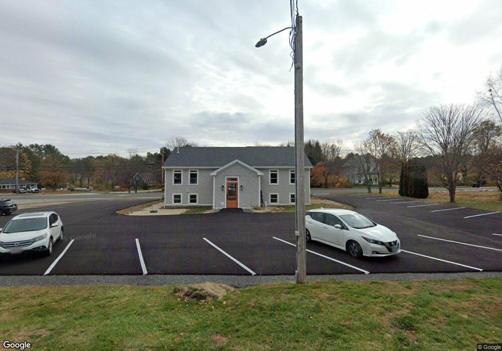
24 Portland Rd Kennebunk, ME 04043
Estimated Value: $700,957
4
Beds
8
Baths
3,435
Sq Ft
$204/Sq Ft
Est. Value
About This Home
This home is located at 24 Portland Rd, Kennebunk, ME 04043 and is currently estimated at $700,957, approximately $204 per square foot. 24 Portland Rd is a home located in York County with nearby schools including Kennebunk High School, School Around Us, and The New School.
Ownership History
Date
Name
Owned For
Owner Type
Purchase Details
Closed on
Oct 25, 2022
Sold by
Kmc Llc
Bought by
Live Free Re Llc
Current Estimated Value
Purchase Details
Closed on
Dec 1, 2016
Sold by
Fuhrmann Calvin P and Furhmann Denise S
Bought by
Kmc Llc
Home Financials for this Owner
Home Financials are based on the most recent Mortgage that was taken out on this home.
Original Mortgage
$248,000
Interest Rate
3.52%
Mortgage Type
Commercial
Create a Home Valuation Report for This Property
The Home Valuation Report is an in-depth analysis detailing your home's value as well as a comparison with similar homes in the area
Home Values in the Area
Average Home Value in this Area
Purchase History
| Date | Buyer | Sale Price | Title Company |
|---|---|---|---|
| Live Free Re Llc | $628,000 | None Available | |
| Kmc Llc | -- | -- |
Source: Public Records
Mortgage History
| Date | Status | Borrower | Loan Amount |
|---|---|---|---|
| Previous Owner | Kmc Llc | $248,000 |
Source: Public Records
Tax History Compared to Growth
Tax History
| Year | Tax Paid | Tax Assessment Tax Assessment Total Assessment is a certain percentage of the fair market value that is determined by local assessors to be the total taxable value of land and additions on the property. | Land | Improvement |
|---|---|---|---|---|
| 2024 | $7,860 | $463,700 | $218,300 | $245,400 |
| 2023 | $7,442 | $463,700 | $218,300 | $245,400 |
| 2022 | $6,770 | $463,700 | $218,300 | $245,400 |
| 2021 | $6,608 | $463,700 | $218,300 | $245,400 |
| 2020 | $6,561 | $463,700 | $218,300 | $245,400 |
| 2019 | $6,376 | $463,700 | $218,300 | $245,400 |
| 2018 | $6,087 | $347,800 | $163,700 | $184,100 |
| 2017 | $0 | $347,800 | $163,700 | $184,100 |
| 2016 | $0 | $347,800 | $163,700 | $184,100 |
| 2015 | $5,321 | $347,800 | $163,700 | $184,100 |
| 2014 | $5,182 | $347,800 | $163,700 | $184,100 |
Source: Public Records
Map
Nearby Homes
- 20 Wonderbrook Dr
- 7 Wonderbrook Dr
- 7 Acorn Cir
- 28 Longfellow Ln Unit 15
- 61 Fletcher St
- 14 Wiggins Pond Ln
- 31 Oakwood Ln
- 45 Summer St Unit 1
- 3 Hardwood Dr
- 17 Water St Unit 9
- 40 Powder Mill Dr Unit 40
- 39 Powder Mill Dr
- 37 Powder Mill Dr Unit 37
- 22 York St
- 18 Longwood Dr
- 30 York St Unit 1
- 7 Coastal Woods Dr Unit 102
- 17 Legacy Ln
- 00 Summer St
- 10 Intervale Rd
- 1 Longview Terrace
- 0 Route One Unit 537947
- 0 Route One Unit 3 262202
- 0 Route One Unit 4
- 20 Barnard Ln
- 9 Barnard Ln
- 2 Longview Terrace
- 28 Portland Rd
- 25 Portland Rd
- 26 Barnard Ln
- 2 Penny Ln
- 4 Longview Terrace
- 23 Portland Rd
- 12 Barnard Ln
- 21 Portland Rd
- 5 Longview Terrace
- 0 Portland Rd
- 4 Penny Ln
- 20 Portland Rd
- 1 Fieldcrest Dr