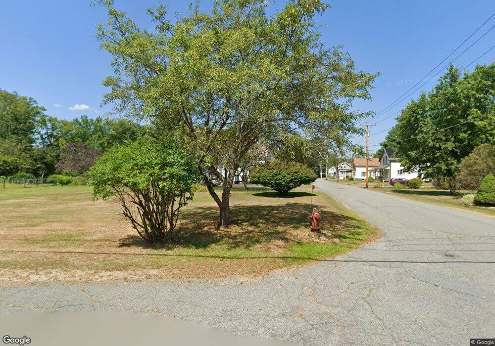
24 Prentiss St Orange, MA 01364
Estimated Value: $266,013 - $352,000
3
Beds
2
Baths
1,296
Sq Ft
$241/Sq Ft
Est. Value
About This Home
This home is located at 24 Prentiss St, Orange, MA 01364 and is currently estimated at $311,753, approximately $240 per square foot. 24 Prentiss St is a home located in Franklin County with nearby schools including Fisher Hill and Ralph C Mahar Regional School.
Ownership History
Date
Name
Owned For
Owner Type
Purchase Details
Closed on
Oct 1, 1999
Sold by
Johnston William R and Johnston Sandra J
Bought by
Powers David L and Powers Debra L
Current Estimated Value
Home Financials for this Owner
Home Financials are based on the most recent Mortgage that was taken out on this home.
Original Mortgage
$11,000
Outstanding Balance
$3,210
Interest Rate
7.85%
Mortgage Type
Purchase Money Mortgage
Estimated Equity
$308,543
Create a Home Valuation Report for This Property
The Home Valuation Report is an in-depth analysis detailing your home's value as well as a comparison with similar homes in the area
Home Values in the Area
Average Home Value in this Area
Purchase History
| Date | Buyer | Sale Price | Title Company |
|---|---|---|---|
| Powers David L | $110,000 | -- | |
| Powers David L | $110,000 | -- |
Source: Public Records
Mortgage History
| Date | Status | Borrower | Loan Amount |
|---|---|---|---|
| Open | Powers David L | $11,000 | |
| Open | Powers David L | $88,000 | |
| Closed | Powers David L | $11,000 |
Source: Public Records
Tax History
| Year | Tax Paid | Tax Assessment Tax Assessment Total Assessment is a certain percentage of the fair market value that is determined by local assessors to be the total taxable value of land and additions on the property. | Land | Improvement |
|---|---|---|---|---|
| 2025 | $3,816 | $232,000 | $29,200 | $202,800 |
| 2024 | $3,706 | $212,500 | $29,200 | $183,300 |
| 2023 | $3,271 | $182,100 | $26,300 | $155,800 |
| 2022 | $2,988 | $156,300 | $26,300 | $130,000 |
| 2021 | $3,044 | $151,800 | $45,000 | $106,800 |
| 2020 | $4,688 | $142,900 | $41,000 | $101,900 |
| 2019 | $4,501 | $127,500 | $35,500 | $92,000 |
| 2018 | $2,576 | $117,400 | $33,200 | $84,200 |
| 2017 | $2,492 | $117,400 | $33,200 | $84,200 |
| 2016 | $2,350 | $108,300 | $29,600 | $78,700 |
| 2015 | $2,372 | $114,200 | $31,600 | $82,600 |
| 2014 | $2,404 | $121,800 | $31,600 | $90,200 |
Source: Public Records
Map
Nearby Homes
Your Personal Tour Guide
Ask me questions while you tour the home.