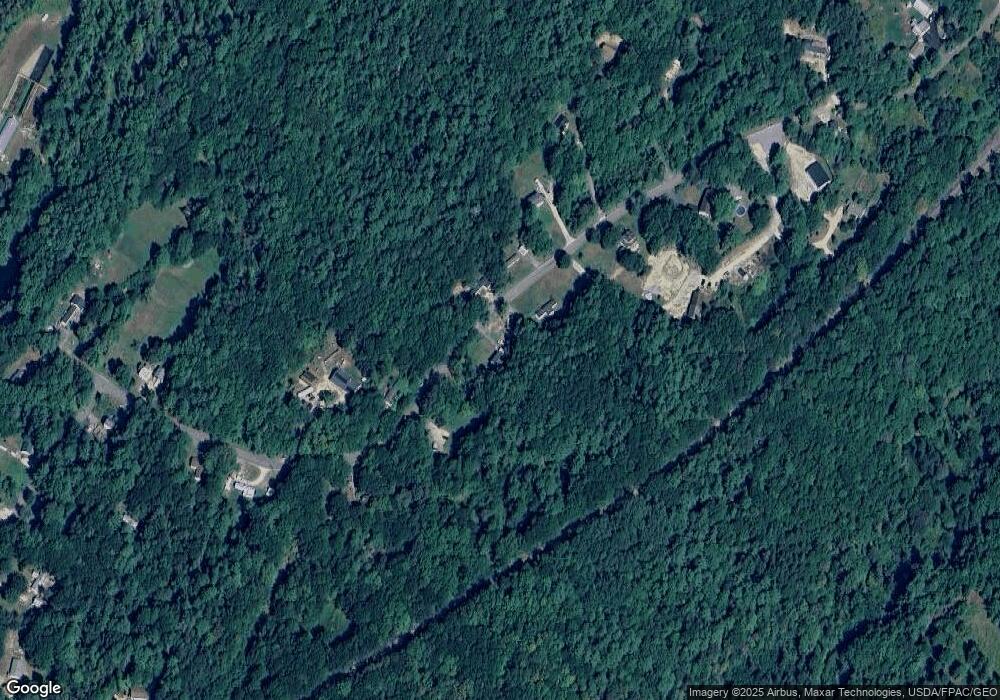
24 Prout Rd Freeport, ME 04032
Estimated Value: $513,000 - $552,000
3
Beds
2
Baths
1,550
Sq Ft
$343/Sq Ft
Est. Value
About This Home
This home is located at 24 Prout Rd, Freeport, ME 04032 and is currently estimated at $532,356, approximately $343 per square foot. 24 Prout Rd is a home with nearby schools including Morse Street School, Mast Landing School, and Freeport Middle School.
Create a Home Valuation Report for This Property
The Home Valuation Report is an in-depth analysis detailing your home's value as well as a comparison with similar homes in the area
Home Values in the Area
Average Home Value in this Area
Tax History
| Year | Tax Paid | Tax Assessment Tax Assessment Total Assessment is a certain percentage of the fair market value that is determined by local assessors to be the total taxable value of land and additions on the property. | Land | Improvement |
|---|---|---|---|---|
| 2025 | $5,030 | $363,200 | $126,300 | $236,900 |
| 2024 | $4,769 | $357,200 | $120,300 | $236,900 |
| 2023 | $4,327 | $314,700 | $109,300 | $205,400 |
| 2022 | $4,136 | $303,000 | $97,600 | $205,400 |
| 2021 | $4,045 | $303,000 | $97,600 | $205,400 |
| 2020 | $3,910 | $279,300 | $90,400 | $188,900 |
| 2019 | $3,759 | $262,900 | $85,300 | $177,600 |
| 2018 | $3,642 | $242,000 | $77,600 | $164,400 |
| 2017 | $3,479 | $232,700 | $75,800 | $156,900 |
| 2016 | $3,429 | $217,000 | $71,900 | $145,100 |
| 2015 | $3,478 | $207,000 | $69,400 | $137,600 |
Source: Public Records
Map
Nearby Homes
Your Personal Tour Guide
Ask me questions while you tour the home.