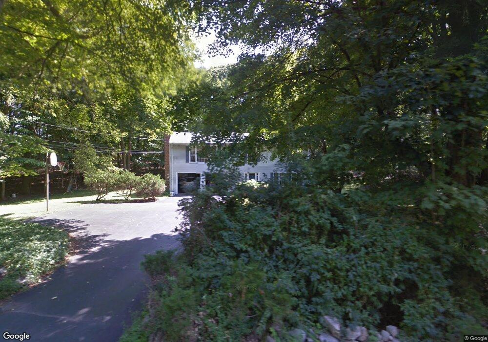
24 Range Rd Wilton, CT 06897
Estimated Value: $966,529 - $1,117,000
4
Beds
3
Baths
2,296
Sq Ft
$455/Sq Ft
Est. Value
About This Home
This home is located at 24 Range Rd, Wilton, CT 06897 and is currently estimated at $1,045,632, approximately $455 per square foot. 24 Range Rd is a home located in Fairfield County with nearby schools including Miller-Driscoll School, Cider Mill School, and Middlebrook School.
Ownership History
Date
Name
Owned For
Owner Type
Purchase Details
Closed on
Apr 15, 1998
Sold by
Commonwealth General
Bought by
Wei Hung Chieh and Lin Chun Mei
Current Estimated Value
Home Financials for this Owner
Home Financials are based on the most recent Mortgage that was taken out on this home.
Original Mortgage
$150,000
Interest Rate
7.11%
Mortgage Type
Unknown
Purchase Details
Closed on
Dec 17, 1997
Sold by
Pelletier Joe and Pelletier Patricia
Bought by
Commonwealth General
Create a Home Valuation Report for This Property
The Home Valuation Report is an in-depth analysis detailing your home's value as well as a comparison with similar homes in the area
Home Values in the Area
Average Home Value in this Area
Purchase History
| Date | Buyer | Sale Price | Title Company |
|---|---|---|---|
| Wei Hung Chieh | $340,000 | -- | |
| Commonwealth General | $342,500 | -- |
Source: Public Records
Mortgage History
| Date | Status | Borrower | Loan Amount |
|---|---|---|---|
| Closed | Commonwealth General | $120,000 | |
| Closed | Commonwealth General | $150,000 |
Source: Public Records
Tax History
| Year | Tax Paid | Tax Assessment Tax Assessment Total Assessment is a certain percentage of the fair market value that is determined by local assessors to be the total taxable value of land and additions on the property. | Land | Improvement |
|---|---|---|---|---|
| 2025 | $11,899 | $487,480 | $292,670 | $194,810 |
| 2024 | $11,670 | $487,480 | $292,670 | $194,810 |
| 2023 | $14,380 | $361,060 | $279,860 | $81,200 |
| 2022 | $10,193 | $361,060 | $279,860 | $81,200 |
| 2021 | $10,063 | $361,060 | $279,860 | $81,200 |
| 2020 | $9,915 | $361,060 | $279,860 | $81,200 |
| 2019 | $10,305 | $361,060 | $279,860 | $81,200 |
| 2018 | $10,539 | $373,870 | $294,490 | $79,380 |
| 2017 | $10,382 | $373,870 | $294,490 | $79,380 |
| 2016 | $10,222 | $373,870 | $294,490 | $79,380 |
| 2015 | $10,031 | $373,870 | $294,490 | $79,380 |
| 2014 | $9,911 | $373,870 | $294,490 | $79,380 |
Source: Public Records
Map
Nearby Homes
- 84 Wilton Crest Rd Unit 84
- 20 Arrowhead Rd
- 25 Arrowhead Rd
- 85 Glen Side Unit 85
- 51 Chessor Ln
- 2 Village Ct Unit 2
- 332 Belden Hill Rd
- 15 River Rd Unit STE 210
- 110 Dudley Rd
- 76 Fawn Ridge Ln
- 128 Grumman Hill Rd
- 25 Powder Horn Hill Rd
- 30 Freshwater Ln
- 123 Old Belden Hill Rd Unit 40
- 126 Heather Ln
- 381 Chestnut Hill Rd
- 158 N Seir Hill Rd
- 276 Grumman Ave
- 88 Drum Hill Rd
- 93 E Meadow Rd
Your Personal Tour Guide
Ask me questions while you tour the home.