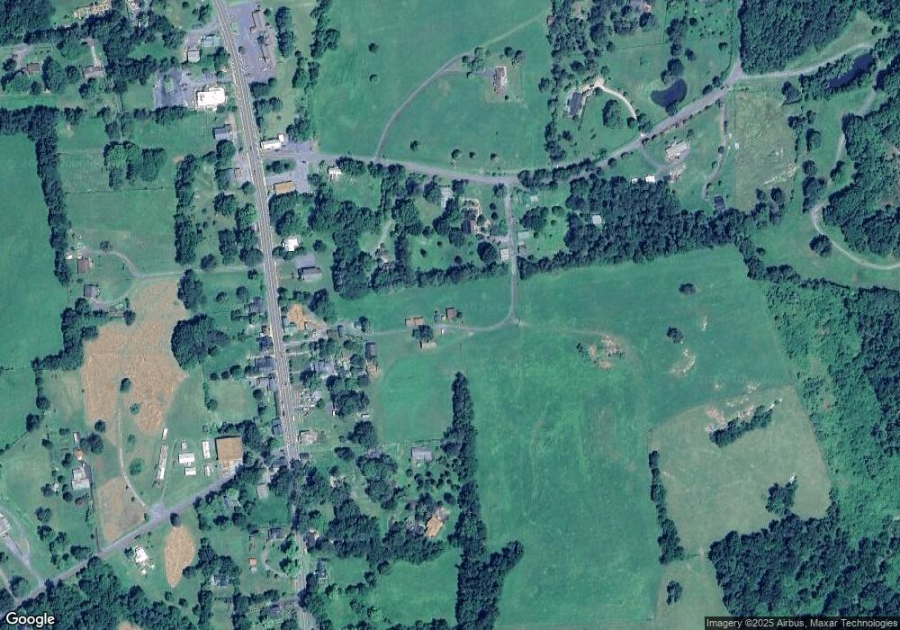
24 Robin Ln Flint Hill, VA 22627
Estimated Value: $84,000 - $937,000
Studio
--
Bath
--
Sq Ft
5.74
Acres
About This Home
This home is located at 24 Robin Ln, Flint Hill, VA 22627 and is currently estimated at $399,504. 24 Robin Ln is a home with nearby schools including Rappahannock County Elementary School, Rappahannock County High School, and Wakefield Country Day School.
Ownership History
Date
Name
Owned For
Owner Type
Purchase Details
Closed on
Mar 21, 2024
Sold by
Smith Paul March and Smith Dennis Michael
Bought by
Paul Smith And Michael Dennis Joint Trust and Smith
Current Estimated Value
Purchase Details
Closed on
Feb 8, 2022
Sold by
Larry A Jensen Trust
Bought by
Smith Paul March and Smith Dennis Michael
Purchase Details
Closed on
Jan 8, 2022
Sold by
Larry A Jensen Trust
Bought by
Fannon David Lee
Purchase Details
Closed on
Dec 30, 2010
Sold by
Jensen Larry Alan and Jensen Rose H
Bought by
Jensen Larry A and Jensen Rose H
Create a Home Valuation Report for This Property
The Home Valuation Report is an in-depth analysis detailing your home's value as well as a comparison with similar homes in the area
Purchase History
| Date | Buyer | Sale Price | Title Company |
|---|---|---|---|
| Paul Smith And Michael Dennis Joint Trust | -- | None Listed On Document | |
| Smith Paul March | $70,000 | Old Republic National Title | |
| Fannon David Lee | -- | None Listed On Document | |
| Jensen Larry A | -- | Saratoga Title & Escrow Inc |
Source: Public Records
Tax History Compared to Growth
Tax History
| Year | Tax Paid | Tax Assessment Tax Assessment Total Assessment is a certain percentage of the fair market value that is determined by local assessors to be the total taxable value of land and additions on the property. | Land | Improvement |
|---|---|---|---|---|
| 2025 | $734 | $116,500 | $96,400 | $20,100 |
| 2024 | $880 | $144,300 | $111,100 | $33,200 |
| 2023 | $880 | $144,300 | $111,100 | $33,200 |
| 2022 | $569 | $144,300 | $111,100 | $33,200 |
| 2021 | $713 | $483,500 | $447,500 | $36,000 |
| 2020 | $808 | $495,300 | $447,500 | $47,800 |
| 2019 | $808 | $499,200 | $450,400 | $48,800 |
| 2018 | $433 | $499,200 | $450,400 | $48,800 |
| 2017 | $433 | $0 | $0 | $0 |
| 2016 | $433 | $499,200 | $0 | $0 |
| 2015 | -- | $504,500 | $470,400 | $34,100 |
| 2014 | -- | $504,500 | $470,400 | $34,100 |
Source: Public Records
Map
Nearby Homes
- 13886 Crest Hill Rd
- 675 Zachary Taylor Hwy
- 200 Fogg Mountain Ln
- 521 Dearing Rd
- 156 Bear Wallow Rd
- 18 Bolton Branch Ln
- 0 Woodlands Dr Unit VARP2001854
- 290 Riley Hollow Rd
- 0 Lee Hwy Unit VARP2002294
- 0 Lee Hwy Unit VACU2011884
- 18 Old Mill Rd
- 7 Skyline Ln
- 14105 Lee Hwy
- 0 Tiger Valley Rd Unit VARP2002288
- 0 Harris Hollow Rd Unit VARP2002304
- 342 S Poes Rd
- 700 Battle Mountain Rd
- 0 Thumb Run Rd
- 12715 Lee Hwy
- 0 Apache Trail Unit VARP2001638
- 13928 Crest Hill Rd
- 4 Robin Ln Unit PVT
- 13924 Crest Hill Rd
- 3 Robin Ln Unit PVT
- 616 Zachary Taylor Hwy
- 630 Zachary Taylor Hwy
- 610 Zachary Taylor Hwy
- 624 Zachary Taylor Hwy
- 3 Ricketts Ln
- 3 Ricketts Ln
- 619 Zachary Taylor Hwy
- 13940 Crest Hill Rd
- 634 Zachary Taylor Hwy
- 604 Zachary Taylor Hwy
- 602 Zachary Taylor Hwy
- 611 Zachary Taylor Hwy
- 621 Zachary Taylor Hwy
- 625 Zachary Taylor Hwy
- 617 Zachary Taylor Hwy
- 611 Zachary Taylor Hwy
