24 Robin Ln Killingworth, CT 06419
Estimated Value: $531,756 - $599,000
2
Beds
2
Baths
2,285
Sq Ft
$246/Sq Ft
Est. Value
About This Home
This home is located at 24 Robin Ln, Killingworth, CT 06419 and is currently estimated at $561,689, approximately $245 per square foot. 24 Robin Ln is a home located in Middlesex County with nearby schools including Haddam-Killingworth High School.
Ownership History
Date
Name
Owned For
Owner Type
Purchase Details
Closed on
Jul 28, 2000
Sold by
Lussier Richard R
Bought by
Harris Ronald E
Current Estimated Value
Home Financials for this Owner
Home Financials are based on the most recent Mortgage that was taken out on this home.
Original Mortgage
$158,109
Interest Rate
8.18%
Create a Home Valuation Report for This Property
The Home Valuation Report is an in-depth analysis detailing your home's value as well as a comparison with similar homes in the area
Home Values in the Area
Average Home Value in this Area
Purchase History
| Date | Buyer | Sale Price | Title Company |
|---|---|---|---|
| Harris Ronald E | $220,900 | -- |
Source: Public Records
Mortgage History
| Date | Status | Borrower | Loan Amount |
|---|---|---|---|
| Open | Harris Ronald E | $215,000 | |
| Closed | Harris Ronald E | $157,000 | |
| Closed | Harris Ronald E | $158,109 |
Source: Public Records
Tax History Compared to Growth
Tax History
| Year | Tax Paid | Tax Assessment Tax Assessment Total Assessment is a certain percentage of the fair market value that is determined by local assessors to be the total taxable value of land and additions on the property. | Land | Improvement |
|---|---|---|---|---|
| 2025 | $5,956 | $227,150 | $67,550 | $159,600 |
| 2024 | $5,502 | $227,150 | $67,550 | $159,600 |
| 2023 | $5,331 | $227,150 | $67,550 | $159,600 |
| 2022 | $5,029 | $216,580 | $67,550 | $149,030 |
| 2021 | $5,879 | $220,030 | $71,030 | $149,000 |
| 2020 | $5,879 | $220,030 | $71,030 | $149,000 |
| 2019 | $2,888 | $220,030 | $71,030 | $149,000 |
| 2018 | $6,044 | $220,030 | $71,030 | $149,000 |
| 2017 | $7,645 | $220,030 | $71,030 | $149,000 |
| 2016 | $6,330 | $244,510 | $106,580 | $137,930 |
| 2015 | $6,169 | $244,510 | $106,580 | $137,930 |
| 2014 | $5,998 | $244,510 | $106,580 | $137,930 |
Source: Public Records
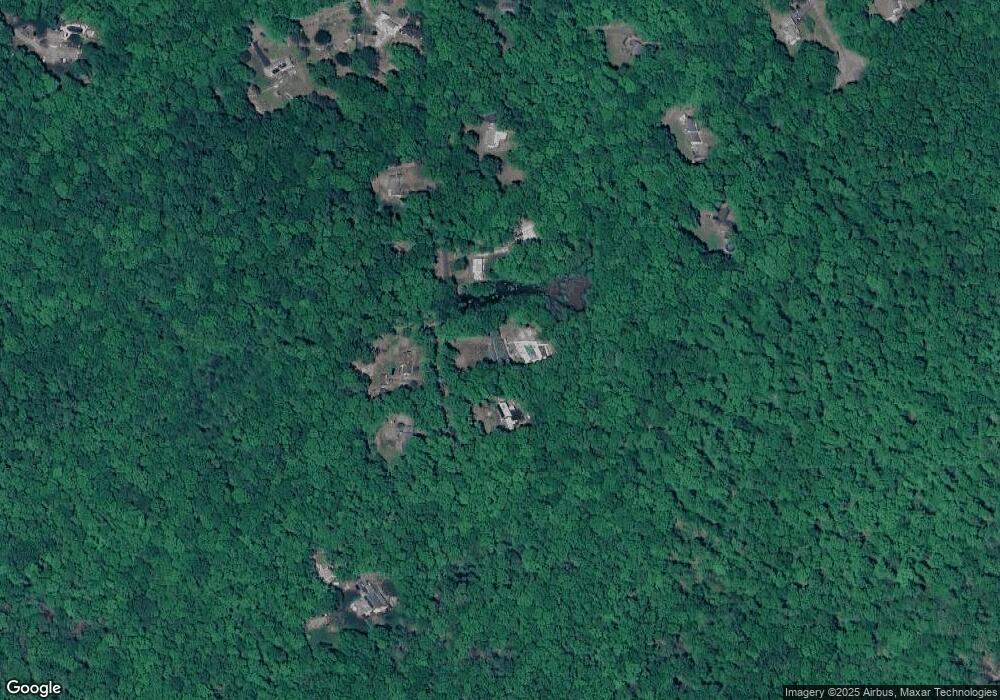
Map
Nearby Homes
- 11 Silver Birch Ln
- 25 Roast Meat Hill Rd
- 4 Columbia Rd
- 3 Jamaica Rd
- 246 Cow Hill Rd
- 454 Horse Pond Rd Unit B
- 454 Horse Pond Rd Unit D
- 454 Horse Pond Rd Unit C
- 462 Horse Pond Rd
- 20 Strawberry Hill Rd
- 318 Horse Pond Rd
- 97 Kelsey Springs Dr
- 5 Kings Grant Rd
- 4 Van Dyke Ln
- 179 Route 81
- 60 Robin Ridge Dr
- 15 Egypt Ln
- 18 Kelsey Springs Dr
- 131 Cow Hill Rd
- 4 Laurel Ln