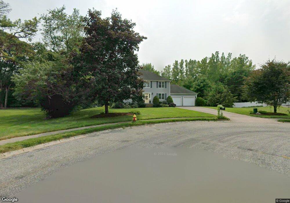
24 S White Pine Ln Mansfield, MA 02048
Estimated Value: $843,836 - $1,002,000
3
Beds
3
Baths
2,258
Sq Ft
$424/Sq Ft
Est. Value
About This Home
This home is located at 24 S White Pine Ln, Mansfield, MA 02048 and is currently estimated at $956,709, approximately $423 per square foot. 24 S White Pine Ln is a home located in Bristol County with nearby schools including Everett W. Robinson Elementary School, Jordan/Jackson Elementary School, and Harold L. Qualters Middle School.
Ownership History
Date
Name
Owned For
Owner Type
Purchase Details
Closed on
Jul 29, 2005
Sold by
Paritee Michael S and Paritee Karen D
Bought by
Sevastos Elias L and Sevastos Jodi A
Current Estimated Value
Purchase Details
Closed on
Jun 26, 1998
Sold by
Brookhouser Jeffrey L and Brookhouser Lucy P
Bought by
Paritee Michael S and Paritee Karen D
Purchase Details
Closed on
Oct 30, 1996
Sold by
Waterford Rt
Bought by
Brookhouser Jeffrey L and Brookhouser Lucy R
Create a Home Valuation Report for This Property
The Home Valuation Report is an in-depth analysis detailing your home's value as well as a comparison with similar homes in the area
Home Values in the Area
Average Home Value in this Area
Purchase History
| Date | Buyer | Sale Price | Title Company |
|---|---|---|---|
| Sevastos Elias L | $549,900 | -- | |
| Paritee Michael S | $288,000 | -- | |
| Brookhouser Jeffrey L | $254,500 | -- |
Source: Public Records
Mortgage History
| Date | Status | Borrower | Loan Amount |
|---|---|---|---|
| Open | Brookhouser Jeffrey L | $182,500 | |
| Closed | Brookhouser Jeffrey L | $157,000 | |
| Closed | Brookhouser Jeffrey L | $200,000 |
Source: Public Records
Tax History
| Year | Tax Paid | Tax Assessment Tax Assessment Total Assessment is a certain percentage of the fair market value that is determined by local assessors to be the total taxable value of land and additions on the property. | Land | Improvement |
|---|---|---|---|---|
| 2025 | $9,931 | $754,100 | $286,400 | $467,700 |
| 2024 | $9,825 | $727,800 | $298,900 | $428,900 |
| 2023 | $9,522 | $675,800 | $298,900 | $376,900 |
| 2022 | $9,157 | $603,600 | $276,700 | $326,900 |
| 2021 | $8,708 | $566,900 | $230,600 | $336,300 |
| 2020 | $8,574 | $558,200 | $230,600 | $327,600 |
| 2019 | $8,062 | $529,700 | $192,100 | $337,600 |
| 2018 | $0 | $515,000 | $183,300 | $331,700 |
| 2017 | $0 | $492,700 | $178,100 | $314,600 |
| 2016 | $6,951 | $451,100 | $169,500 | $281,600 |
| 2015 | $6,769 | $436,700 | $169,500 | $267,200 |
Source: Public Records
Map
Nearby Homes
- 14 Claire Ave
- 150 Gilbert St
- 2 Oak St Unit 2A
- 2 Oak St Unit 2B
- 85 Jewell St
- 78 Old Farm Rd
- 451R Gilbert St
- 37 Oakleaf Dr
- 49 Pheasant Hill Rd
- 71 Richardson Ave
- 24 Maverick Dr
- 14 Country Club Way
- 250 Mansfield Ave Unit 11
- 10 Walter St
- 143 Oak St Unit 10
- 345 Richardson Ave
- 115 Westfield Dr
- 65 Godfrey Dr Unit 65
- 52 White Oak Way
- 95 Godfrey Dr
- 19 S White Pine Ln
- 20 S White Pine Ln
- 23 Plantingfield Rd
- 15 S White Pine Ln
- 16 S White Pine Ln
- 9 S White Pine Ln
- 12 S White Pine Ln
- 17 Plantingfield Rd
- 101 Otis St
- 24 Plantingfield Rd
- 24 Plantingfield Rd
- 5 S White Pine Ln
- 8 S White Pine Ln
- 2 S White Pine Ln
- 11 Plantingfield Rd
- 1 S White Pine Ln
- 105 Otis St
- 18 Plantingfield Rd
- 115 Otis St
- 109 Otis St
Your Personal Tour Guide
Ask me questions while you tour the home.