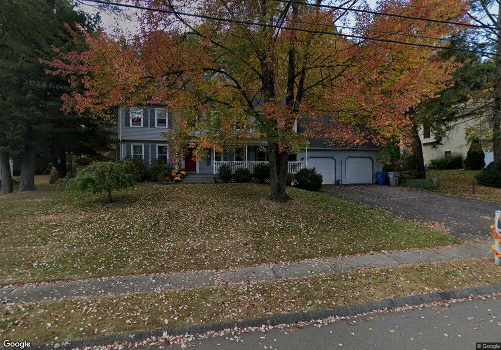
24 Shingle Mill Rd Bristol, CT 06010
Forestville NeighborhoodEstimated Value: $530,255 - $694,000
6
Beds
4
Baths
2,741
Sq Ft
$216/Sq Ft
Est. Value
About This Home
This home is located at 24 Shingle Mill Rd, Bristol, CT 06010 and is currently estimated at $592,814, approximately $216 per square foot. 24 Shingle Mill Rd is a home located in Hartford County with nearby schools including Bristol Central High School, Great Beginnings, and St Matthew School.
Ownership History
Date
Name
Owned For
Owner Type
Purchase Details
Closed on
Dec 20, 2022
Sold by
Ouellette Debra
Bought by
Debra L Ouellette Ret
Current Estimated Value
Purchase Details
Closed on
Mar 27, 1989
Sold by
Dinglewski Gerald
Bought by
Howe Lawrence
Home Financials for this Owner
Home Financials are based on the most recent Mortgage that was taken out on this home.
Original Mortgage
$110,000
Interest Rate
10.49%
Create a Home Valuation Report for This Property
The Home Valuation Report is an in-depth analysis detailing your home's value as well as a comparison with similar homes in the area
Home Values in the Area
Average Home Value in this Area
Purchase History
| Date | Buyer | Sale Price | Title Company |
|---|---|---|---|
| Debra L Ouellette Ret | -- | None Available | |
| Howe Lawrence | $223,000 | -- |
Source: Public Records
Mortgage History
| Date | Status | Borrower | Loan Amount |
|---|---|---|---|
| Previous Owner | Howe Lawrence | $60,000 | |
| Previous Owner | Howe Lawrence | $110,000 |
Source: Public Records
Tax History
| Year | Tax Paid | Tax Assessment Tax Assessment Total Assessment is a certain percentage of the fair market value that is determined by local assessors to be the total taxable value of land and additions on the property. | Land | Improvement |
|---|---|---|---|---|
| 2025 | $9,665 | $286,370 | $63,000 | $223,370 |
| 2024 | $9,121 | $286,370 | $63,000 | $223,370 |
| 2023 | $8,691 | $286,370 | $63,000 | $223,370 |
| 2022 | $7,739 | $201,810 | $49,210 | $152,600 |
| 2021 | $7,739 | $201,810 | $49,210 | $152,600 |
| 2020 | $7,739 | $201,810 | $49,210 | $152,600 |
| 2019 | $7,679 | $201,810 | $49,210 | $152,600 |
| 2018 | $7,443 | $201,810 | $49,210 | $152,600 |
| 2017 | $6,663 | $184,940 | $52,080 | $132,860 |
| 2016 | $6,663 | $184,940 | $52,080 | $132,860 |
| 2015 | $6,401 | $184,940 | $52,080 | $132,860 |
| 2014 | $6,401 | $184,940 | $52,080 | $132,860 |
Source: Public Records
Map
Nearby Homes
- 581 Village St
- 595 Village St
- 603 Village St
- 575 Village St
- 592 Village St
- 554 Village St
- 519 Village St
- 121 Village St
- 536 Redstone Hill Rd Unit 24
- 25 Julia Rd
- 25 Zack Ln
- 7 Eastview Rd
- 26 Skyline Dr
- 8 Redstone St
- 14 Redstone St
- 29 Skyline Dr
- 295 Redstone Hill Rd Unit 3
- 1985 West St Unit 11
- 279 Redstone Hill Rd Unit 58
- 513 Emmett St Unit 13
- 34 Shingle Mill Rd
- 14 Shingle Mill Rd
- 171 Silo Rd
- 25 Shingle Mill Rd
- 287 Poitras Rd
- 44 Shingle Mill Rd
- 181 Silo Rd
- 161 Silo Rd
- 35 Shingle Mill Rd
- 5 Shingle Mill Rd
- 45 Shingle Mill Rd
- 191 Silo Rd
- 151 Silo Rd
- 178 Silo Rd
- 296 Poitras Rd
- 168 Silo Rd
- 286 Poitras Rd
- 158 Silo Rd
- 255 Poitras Rd
- 276 Poitras Rd
Your Personal Tour Guide
Ask me questions while you tour the home.