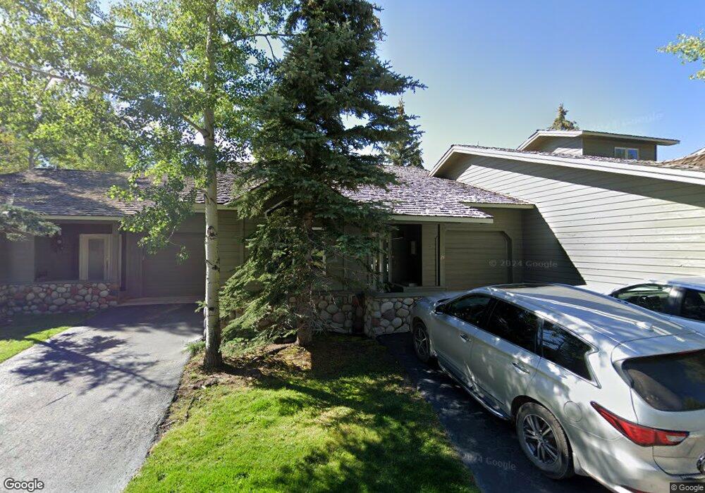
24 St Andrews Cir Crested Butte, CO 81224
Estimated Value: $1,276,000 - $1,351,000
3
Beds
3
Baths
1,458
Sq Ft
$892/Sq Ft
Est. Value
About This Home
This home is located at 24 St Andrews Cir, Crested Butte, CO 81224 and is currently estimated at $1,300,673, approximately $892 per square foot. 24 St Andrews Cir is a home located in Gunnison County with nearby schools including Gunnison Elementary School, Crested Butte Community School, and Gunnison Middle School.
Ownership History
Date
Name
Owned For
Owner Type
Purchase Details
Closed on
Feb 21, 2020
Sold by
Ulmer Steven Craig
Bought by
Ulmer Steven Craig
Current Estimated Value
Purchase Details
Closed on
Sep 25, 2017
Sold by
Colorado West Investment Company Llc
Bought by
Ulmer Steven Craig
Purchase Details
Closed on
Mar 17, 2000
Sold by
Colorado Mortgage Co
Bought by
Colorado West Limited Liab Co
Purchase Details
Closed on
Mar 2, 2000
Sold by
Golf Villas Inc
Bought by
Colorado Mortgage Co
Create a Home Valuation Report for This Property
The Home Valuation Report is an in-depth analysis detailing your home's value as well as a comparison with similar homes in the area
Home Values in the Area
Average Home Value in this Area
Purchase History
| Date | Buyer | Sale Price | Title Company |
|---|---|---|---|
| Ulmer Steven Craig | -- | None Available | |
| Ulmer Steven Craig | $540,000 | Land Title Gurantee Company | |
| Colorado West Limited Liab Co | $252,700 | -- | |
| Colorado Mortgage Co | -- | -- |
Source: Public Records
Tax History Compared to Growth
Tax History
| Year | Tax Paid | Tax Assessment Tax Assessment Total Assessment is a certain percentage of the fair market value that is determined by local assessors to be the total taxable value of land and additions on the property. | Land | Improvement |
|---|---|---|---|---|
| 2024 | $5,593 | $76,990 | $0 | $76,990 |
| 2023 | $5,593 | $73,300 | $0 | $73,300 |
| 2022 | $3,825 | $42,840 | $0 | $42,840 |
| 2021 | $3,521 | $44,070 | $0 | $44,070 |
| 2020 | $3,552 | $42,200 | $0 | $42,200 |
| 2019 | $3,503 | $42,200 | $0 | $42,200 |
| 2018 | $2,516 | $27,970 | $0 | $27,970 |
| 2017 | $2,533 | $27,970 | $0 | $27,970 |
| 2016 | $3,043 | $35,000 | $0 | $35,000 |
| 2015 | $2,079 | $35,000 | $0 | $35,000 |
| 2014 | $2,079 | $21,280 | $0 | $21,280 |
Source: Public Records
Map
Nearby Homes
- 412 Ridge Rd
- 350 Country Club Dr Unit 217A
- 350 Country Club Dr Unit 218A
- 350 Country Club Dr Unit 402A
- 315 Par Ln
- 434 Country Club Dr
- 0 Tbd Saddle Ridge Rd
- 402 Eagle Ln
- 262 Larkspur Loop
- 1665 Skyland Dr
- 618 Country Club Dr
- 365 Larkspur Loop
- 166 & 168 Coyote Cir
- 115 Larkspur Loop
- 168 W Silver Sage Dr
- 491 Slate River Dr
- 42 Lexie Ct
- 253 W Silver Sage Dr
- 64 Vista Ct
- 180 Elk Valley Rd Unit 124
- 28 St Andrews Cir
- 27 St Andrews Cir
- 25 St Andrews Cir
- 30 St Andrews Cir
- 0 St Andrews Ct Unit SKYLAND 7762
- 0 St Andrews Ct Unit 21 Golf Villas
- 0 St Andrews Ct Unit 11 Golf Villas 9177
- 0 St Andrews Ct Unit 3 Golf Villas 9197
- 0 St Andrews Ct Unit 5 Golf Villas 9553
- 0 St Andrews Ct Unit 19 Golf Villas 9640
- 0 St Andrews Ct Unit 9712
- 0 St Andrews Ct Unit 3 Mountain West Vil
- 0 St Andrews Ct Unit 6 11124
- 0 St Andrews Ct Unit 2 Golf Villas S
- 0 St Andrews Ct Unit Golf Villas 5 11657
- 0 St Andrews Ct Unit Skyland 11716
- 0 St Andrews Ct Unit 1, Golf Villas
- 0 St Andrews Ct Unit Mountain West Villas
- 0 St Andrews Ct Unit Golf Villas 13551
- 0 St Andrews Ct Unit 14200