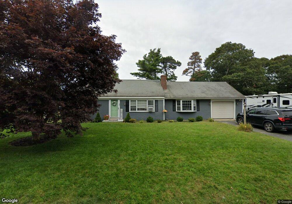
24 Stiles Rd South Yarmouth, MA 02664
Estimated Value: $527,000 - $590,344
2
Beds
2
Baths
1,201
Sq Ft
$472/Sq Ft
Est. Value
About This Home
This home is located at 24 Stiles Rd, South Yarmouth, MA 02664 and is currently estimated at $567,086, approximately $472 per square foot. 24 Stiles Rd is a home located in Barnstable County with nearby schools including Dennis-Yarmouth Regional High School and St. Pius X. School.
Ownership History
Date
Name
Owned For
Owner Type
Purchase Details
Closed on
Jun 25, 2025
Sold by
Anderson Pamela
Bought by
Enwright Daniel C and Gomes Nicole
Current Estimated Value
Home Financials for this Owner
Home Financials are based on the most recent Mortgage that was taken out on this home.
Original Mortgage
$367,500
Outstanding Balance
$366,873
Interest Rate
6.81%
Mortgage Type
Purchase Money Mortgage
Estimated Equity
$200,213
Purchase Details
Closed on
Jun 25, 2004
Sold by
Brandt Nancy S
Bought by
Enwright Pamela A
Home Financials for this Owner
Home Financials are based on the most recent Mortgage that was taken out on this home.
Original Mortgage
$258,300
Interest Rate
6.32%
Mortgage Type
Purchase Money Mortgage
Purchase Details
Closed on
Jul 30, 2001
Sold by
Mutch Helen A
Bought by
Brandt Nancy S
Create a Home Valuation Report for This Property
The Home Valuation Report is an in-depth analysis detailing your home's value as well as a comparison with similar homes in the area
Home Values in the Area
Average Home Value in this Area
Purchase History
| Date | Buyer | Sale Price | Title Company |
|---|---|---|---|
| Enwright Daniel C | $525,000 | None Available | |
| Enwright Daniel C | $525,000 | None Available | |
| Enwright Pamela A | $287,000 | -- | |
| Enwright Pamela A | $287,000 | -- | |
| Brandt Nancy S | $179,900 | -- | |
| Brandt Nancy S | $179,900 | -- |
Source: Public Records
Mortgage History
| Date | Status | Borrower | Loan Amount |
|---|---|---|---|
| Open | Enwright Daniel C | $367,500 | |
| Closed | Enwright Daniel C | $367,500 | |
| Previous Owner | Enwright Pamela A | $258,300 | |
| Previous Owner | Brandt Nancy S | $150,000 |
Source: Public Records
Tax History Compared to Growth
Tax History
| Year | Tax Paid | Tax Assessment Tax Assessment Total Assessment is a certain percentage of the fair market value that is determined by local assessors to be the total taxable value of land and additions on the property. | Land | Improvement |
|---|---|---|---|---|
| 2025 | $3,644 | $514,700 | $180,400 | $334,300 |
| 2024 | $3,392 | $459,600 | $152,500 | $307,100 |
| 2023 | $3,276 | $404,000 | $132,000 | $272,000 |
| 2022 | $3,089 | $336,500 | $120,000 | $216,500 |
| 2021 | $2,901 | $303,400 | $120,000 | $183,400 |
| 2020 | $2,835 | $283,500 | $119,900 | $163,600 |
| 2019 | $2,622 | $259,600 | $119,900 | $139,700 |
| 2018 | $2,489 | $241,900 | $102,200 | $139,700 |
| 2017 | $2,379 | $237,400 | $97,700 | $139,700 |
| 2016 | $2,280 | $228,500 | $88,800 | $139,700 |
| 2015 | $2,364 | $235,500 | $88,800 | $146,700 |
Source: Public Records
Map
Nearby Homes
- 147 Captain Bacon Rd
- 75 Captain York Rd
- 76 Captain Chase Rd
- 4 Raymond Ave
- 7 Sunset Pines Rd
- 255 Long Pond Dr
- 22 Powhatan Rd
- 38 Autumn Dr
- 61 Station Ave
- 33 Sparrow Way
- 55 Lower Brook Rd
- 9 Victory Ln
- 116 N Main St
- 72 Quartermaster Row
- 338 Forest Rd
- 140 Diane Ave
- 0 Forsyth Ave
- 97 Astor Way
- 6 Billingsgate Rd