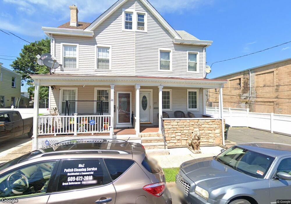
24 Stout Ave Ewing, NJ 08638
Prospect NeighborhoodEstimated Value: $195,505 - $305,000
Studio
--
Bath
1,496
Sq Ft
$169/Sq Ft
Est. Value
About This Home
This home is located at 24 Stout Ave, Ewing, NJ 08638 and is currently estimated at $252,626, approximately $168 per square foot. 24 Stout Ave is a home located in Mercer County with nearby schools including Ewing High School, Paul Robeson Charter School For The Humanities, and Islamic School Of Trenton/Al-Bayaan Academy.
Ownership History
Date
Name
Owned For
Owner Type
Purchase Details
Closed on
Jun 6, 2006
Sold by
Rogers John
Bought by
Rogers Robin
Current Estimated Value
Home Financials for this Owner
Home Financials are based on the most recent Mortgage that was taken out on this home.
Original Mortgage
$148,824
Outstanding Balance
$87,741
Interest Rate
6.62%
Mortgage Type
FHA
Estimated Equity
$164,885
Purchase Details
Closed on
Jul 29, 1994
Sold by
Mossa Emanuel J
Bought by
Rogers John and Rogers Rosemary
Home Financials for this Owner
Home Financials are based on the most recent Mortgage that was taken out on this home.
Original Mortgage
$71,000
Interest Rate
8.25%
Create a Home Valuation Report for This Property
The Home Valuation Report is an in-depth analysis detailing your home's value as well as a comparison with similar homes in the area
Home Values in the Area
Average Home Value in this Area
Purchase History
| Date | Buyer | Sale Price | Title Company |
|---|---|---|---|
| Rogers Robin | $150,000 | -- | |
| Rogers John | $74,700 | -- |
Source: Public Records
Mortgage History
| Date | Status | Borrower | Loan Amount |
|---|---|---|---|
| Open | Rogers Robin | $148,824 | |
| Previous Owner | Rogers John | $71,000 |
Source: Public Records
Tax History
| Year | Tax Paid | Tax Assessment Tax Assessment Total Assessment is a certain percentage of the fair market value that is determined by local assessors to be the total taxable value of land and additions on the property. | Land | Improvement |
|---|---|---|---|---|
| 2025 | $3,418 | $86,900 | $20,000 | $66,900 |
| 2024 | $3,213 | $86,900 | $20,000 | $66,900 |
Source: Public Records
Map
Nearby Homes
- 1415 Princeton Ave
- 23 Cain Ave
- 877 Brunswick Ave
- 219 Phillips Ave
- 2 & 4 J Russel Smith Rd
- 36 E Paul Ave
- 12 J Russel Smith Rd
- 1 Kent Ct
- 530 Spruce St
- 902 Ohio Ave
- 40 J Russel Smith Rd
- 1012 N Willow St
- 65 Race St
- 94 Race St
- 123 Vine St
- 613 N Olden Ave
- 341 Stokes Ave
- 1406 Brunswick Ave
- 101-103 Sherman Ave
- 1017 Southard St
Your Personal Tour Guide
Ask me questions while you tour the home.