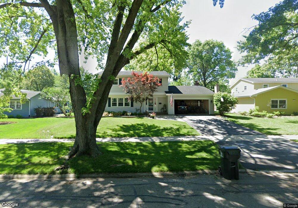
24 Swift Ln Unit 2 Naperville, IL 60565
Maple Brook NeighborhoodEstimated Value: $699,000 - $738,020
5
Beds
5
Baths
3,200
Sq Ft
$226/Sq Ft
Est. Value
About This Home
This home is located at 24 Swift Ln Unit 2, Naperville, IL 60565 and is currently estimated at $722,255, approximately $225 per square foot. 24 Swift Ln Unit 2 is a home located in DuPage County with nearby schools including Maplebrook Elementary School, Lincoln Jr. High School, and Naperville Central High School.
Ownership History
Date
Name
Owned For
Owner Type
Purchase Details
Closed on
Nov 29, 2010
Sold by
Dobberstein Donald K and Dobberstein Jennifer L
Bought by
Callaghan Martin R and Callaghan Kathleen M
Current Estimated Value
Home Financials for this Owner
Home Financials are based on the most recent Mortgage that was taken out on this home.
Original Mortgage
$366,125
Outstanding Balance
$242,261
Interest Rate
4.25%
Mortgage Type
FHA
Estimated Equity
$479,994
Create a Home Valuation Report for This Property
The Home Valuation Report is an in-depth analysis detailing your home's value as well as a comparison with similar homes in the area
Home Values in the Area
Average Home Value in this Area
Purchase History
We collect this data history from publicly available records. To have your information removed, we recommend requesting removal directly through your county’s website.
| Date | Buyer | Sale Price | Title Company |
|---|---|---|---|
| Callaghan Martin R | $387,500 | None Available |
Source: Public Records
Mortgage History
We collect this data history from publicly available records. To have your information removed, we recommend requesting removal directly through your county’s website.
| Date | Status | Borrower | Loan Amount |
|---|---|---|---|
| Open | Callaghan Martin R | $366,125 |
Source: Public Records
Tax History
| Year | Tax Paid | Tax Assessment Tax Assessment Total Assessment is a certain percentage of the fair market value that is determined by local assessors to be the total taxable value of land and additions on the property. | Land | Improvement |
|---|---|---|---|---|
| 2024 | $10,810 | $184,461 | $74,343 | $110,118 |
| 2023 | $10,419 | $168,350 | $67,850 | $100,500 |
| 2022 | $9,988 | $160,330 | $64,620 | $95,710 |
| 2021 | $9,624 | $154,270 | $62,180 | $92,090 |
| 2020 | $9,419 | $151,490 | $61,060 | $90,430 |
| 2019 | $9,145 | $144,940 | $58,420 | $86,520 |
| 2018 | $8,915 | $141,400 | $56,990 | $84,410 |
| 2017 | $8,736 | $136,630 | $55,070 | $81,560 |
| 2016 | $8,561 | $131,690 | $53,080 | $78,610 |
| 2015 | $8,507 | $124,020 | $49,990 | $74,030 |
| 2014 | $8,345 | $118,110 | $47,610 | $70,500 |
| 2013 | $8,219 | $118,390 | $47,720 | $70,670 |
Source: Public Records
Map
Nearby Homes
- 44 Swift Ln
- 8S510 Oxford Ln
- 105 Thrush Ln
- 1583 Orchard Cir
- 8S452 Bell Dr
- 1751 S Washington St Unit 1
- 144 E Bailey Rd Unit G
- 292 Winding Creek Dr
- 510 Harlowe Ln Unit 2001C
- 1432 Terrance Dr Unit 3
- 154 E Bailey Rd Unit D
- 1449 Whitespire Ct Unit 5104
- 1431 Terrance Dr
- 264 E Bailey Rd Unit L
- 1803 River Ridge Cir
- 1508 Terrance Dr
- 605 Hyde Park Ln
- 1232 Laurel Ln
- 1317 Carol Ln
- 43 Foxcroft Rd Unit G135
Your Personal Tour Guide
Ask me questions while you tour the home.