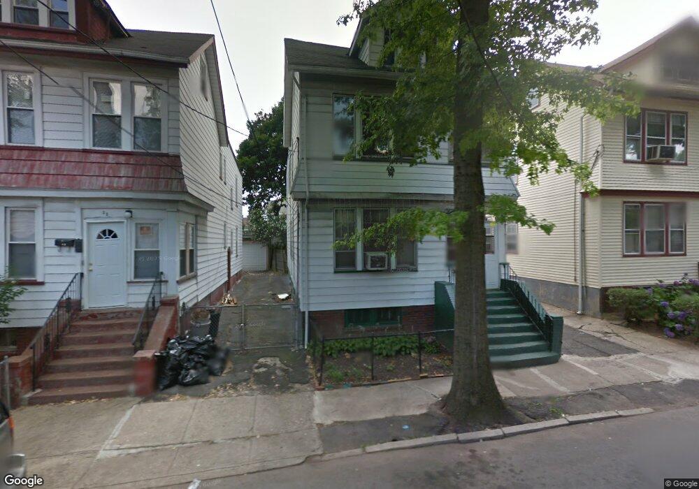
24 Underwood St Unit 26 Newark, NJ 07106
Lower Vailsburg NeighborhoodEstimated Value: $488,261 - $569,000
--
Bed
--
Bath
2,327
Sq Ft
$229/Sq Ft
Est. Value
About This Home
This home is located at 24 Underwood St Unit 26, Newark, NJ 07106 and is currently estimated at $532,065, approximately $228 per square foot. 24 Underwood St Unit 26 is a home located in Essex County with nearby schools including Lincoln Elementary School, Mt. Vernon School, and Hawthorne Avenue Elementary School.
Ownership History
Date
Name
Owned For
Owner Type
Purchase Details
Closed on
Nov 16, 2017
Sold by
Community Dvlpmt Group
Bought by
Wells Melissa
Current Estimated Value
Home Financials for this Owner
Home Financials are based on the most recent Mortgage that was taken out on this home.
Original Mortgage
$231,600
Outstanding Balance
$189,675
Interest Rate
3.88%
Mortgage Type
FHA
Estimated Equity
$342,390
Purchase Details
Closed on
May 31, 2017
Sold by
Community Development Group Limited Liab
Bought by
Community Development Group Limited Liab
Purchase Details
Closed on
Mar 9, 2017
Sold by
City Of Newark
Bought by
Community Development Group Llc
Purchase Details
Closed on
May 1, 1980
Bought by
Bateman Jeanette
Create a Home Valuation Report for This Property
The Home Valuation Report is an in-depth analysis detailing your home's value as well as a comparison with similar homes in the area
Home Values in the Area
Average Home Value in this Area
Purchase History
| Date | Buyer | Sale Price | Title Company |
|---|---|---|---|
| Wells Melissa | $240,000 | -- | |
| Community Development Group Limited Liab | -- | Opal Title Service Llc | |
| Community Development Group Llc | $12,240 | Chicago Title Insurance | |
| Bateman Jeanette | $43,500 | -- |
Source: Public Records
Mortgage History
| Date | Status | Borrower | Loan Amount |
|---|---|---|---|
| Open | Wells Melissa | $231,600 |
Source: Public Records
Tax History Compared to Growth
Tax History
| Year | Tax Paid | Tax Assessment Tax Assessment Total Assessment is a certain percentage of the fair market value that is determined by local assessors to be the total taxable value of land and additions on the property. | Land | Improvement |
|---|---|---|---|---|
| 2025 | $5,245 | $140,700 | $20,200 | $120,500 |
| 2024 | $5,245 | $140,700 | $20,200 | $120,500 |
| 2022 | $5,257 | $140,700 | $20,200 | $120,500 |
| 2021 | $5,254 | $140,700 | $20,200 | $120,500 |
| 2020 | $5,347 | $140,700 | $20,200 | $120,500 |
| 2019 | $5,292 | $140,700 | $20,200 | $120,500 |
| 2018 | $5,196 | $140,700 | $20,200 | $120,500 |
| 2017 | $5,009 | $140,700 | $20,200 | $120,500 |
| 2016 | $4,840 | $140,700 | $20,200 | $120,500 |
| 2015 | $4,656 | $140,700 | $20,200 | $120,500 |
| 2014 | $4,363 | $140,700 | $20,200 | $120,500 |
Source: Public Records
Map
Nearby Homes
- 50 Unity Ave
- 35 Bamford Place
- 48 Adams St
- 78 Valley St
- 220 Brookdale Ave
- 219-221 Stuyvesant Ave
- 83-85 Valley St
- 206-212 Brookdale Ave
- 239 Orange Ave
- 240 W End Ave
- 215-217 Orange Ave
- 217 Orange Ave
- 142 Delmar Place
- 27-29 Cleveland Ave
- 232-236 W End Ave
- 27 Cleveland Ave Unit 29
- 223 W End Ave Unit 225
- 197-199 Sunset Ave
- 199 Sunset Ave
- 228 Madison Ave
- 22 Underwood St
- 28 Underwood St
- 20 Underwood St
- 30 Underwood St
- 30 Underwood St Unit 2
- 21 Scofield St Unit 23
- 25 Scofield St
- 16 Underwood St Unit 18
- 17-19 Schofield St
- 17 Scofield St Unit 19
- 32 Underwood St
- 32 Underwood St Unit 1
- 32 Underwood St Unit 34
- 21 Underwood St Unit 2R
- 21 Underwood St Unit 1L
- 21 Underwood St Unit 23
- 21 Underwood St
- 27 Scofield St Unit 29
- 15 Scofield St
- 27-29-29 Schofield St Unit 2R