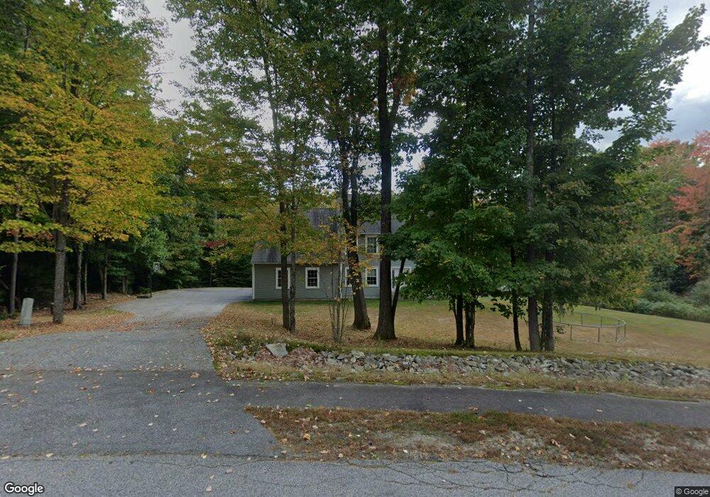
24 Westbranch Rd Cumberland Center, ME 04021
West Cumberland NeighborhoodEstimated Value: $910,000 - $1,074,000
3
Beds
3
Baths
2,805
Sq Ft
$351/Sq Ft
Est. Value
About This Home
This home is located at 24 Westbranch Rd, Cumberland Center, ME 04021 and is currently estimated at $985,261, approximately $351 per square foot. 24 Westbranch Rd is a home located in Cumberland County with nearby schools including Mabel I. Wilson School, Greely Middle School 4-5, and Greely Middle School.
Ownership History
Date
Name
Owned For
Owner Type
Purchase Details
Closed on
May 13, 2014
Sold by
Cressey Nicole
Bought by
Croteau Raymond
Current Estimated Value
Purchase Details
Closed on
May 23, 2005
Sold by
Chase Custom Home & Fin Inc
Bought by
Creteau Raymond and Croteau Nicole
Home Financials for this Owner
Home Financials are based on the most recent Mortgage that was taken out on this home.
Original Mortgage
$359,650
Interest Rate
5.95%
Mortgage Type
Purchase Money Mortgage
Create a Home Valuation Report for This Property
The Home Valuation Report is an in-depth analysis detailing your home's value as well as a comparison with similar homes in the area
Home Values in the Area
Average Home Value in this Area
Purchase History
| Date | Buyer | Sale Price | Title Company |
|---|---|---|---|
| Croteau Raymond | -- | -- | |
| Creteau Raymond | -- | -- |
Source: Public Records
Mortgage History
| Date | Status | Borrower | Loan Amount |
|---|---|---|---|
| Previous Owner | Creteau Raymond | $359,650 | |
| Previous Owner | Creteau Raymond | $74,350 |
Source: Public Records
Tax History Compared to Growth
Tax History
| Year | Tax Paid | Tax Assessment Tax Assessment Total Assessment is a certain percentage of the fair market value that is determined by local assessors to be the total taxable value of land and additions on the property. | Land | Improvement |
|---|---|---|---|---|
| 2025 | $12,530 | $497,600 | $188,100 | $309,500 |
| 2024 | $11,569 | $497,600 | $188,100 | $309,500 |
| 2023 | $11,022 | $497,600 | $188,100 | $309,500 |
| 2022 | $10,549 | $497,600 | $188,100 | $309,500 |
| 2021 | $10,226 | $497,600 | $188,100 | $309,500 |
| 2020 | $10,126 | $497,600 | $188,100 | $309,500 |
| 2019 | $9,877 | $497,600 | $188,100 | $309,500 |
| 2018 | $9,686 | $491,700 | $188,100 | $303,600 |
| 2017 | $9,244 | $491,700 | $188,100 | $303,600 |
| 2016 | $8,974 | $491,700 | $188,100 | $303,600 |
| 2015 | $8,900 | $491,700 | $188,100 | $303,600 |
| 2014 | $8,556 | $491,700 | $188,100 | $303,600 |
| 2013 | $8,359 | $491,700 | $188,100 | $303,600 |
Source: Public Records
Map
Nearby Homes
- 43 Skillin Rd
- 63 Peaceful Way
- 5 Skillin Rd
- 0 Thomes Way
- 8 Summer Way
- 8 Castle Rock
- 8 Feldspar Ln Unit 29
- 7 Castle Rock Dr
- 5 Feldspar Ln Unit 3
- 1 Feldspar Ln Unit 1
- 24 Feldspar Ln Unit 23
- 25 Feldspar Ln Unit 13
- 13 Feldspar Ln Unit 7
- 30 Feldspar Ln Unit 21
- 21 Feldspar Ln Unit 11
- 23 Feldspar Ln Unit 12
- 26 Feldspar Ln Unit 22
- 31 Feldspar Ln Unit 16
- 0 Tinker Ln Unit 57D
- 57&57D Tinker Ln and Pointer Way
- 20 Westbranch Rd
- 0 Westbranch Rd
- 19 Westbranch Rd
- 16 Westbranch Rd
- 17 Westbranch Rd
- 28 Westbranch Rd
- 32 Westbranch Rd
- 14 Westbranch Rd
- 12 Westbranch Rd
- 36 Westbranch Rd
- 35 Westbranch Rd
- 11 Westbranch Rd
- 3 Westbranch Rd
- 1 Westbranch Rd
- 31 Westbranch Rd
- 8 Westbranch Rd
- 40 Westbranch Rd
- 42 Westbranch Rd
- 6 Westbranch Rd
- 48 Westbranch Rd