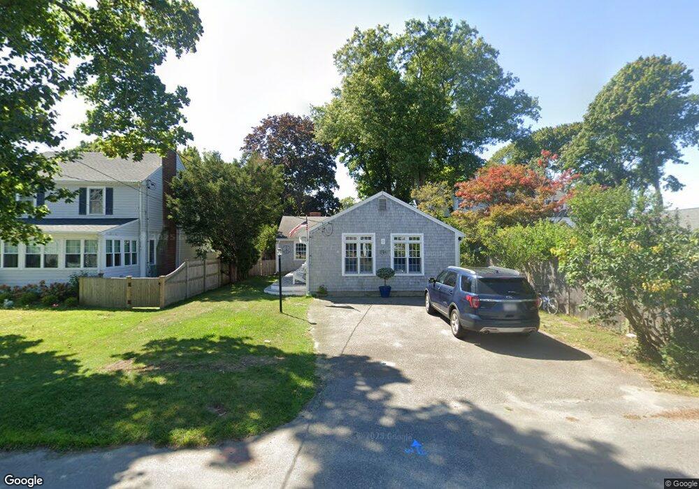
24 Whitcomb Rd Scituate, MA 02066
Estimated Value: $961,000 - $1,650,000
2
Beds
4
Baths
2,178
Sq Ft
$665/Sq Ft
Est. Value
About This Home
This home is located at 24 Whitcomb Rd, Scituate, MA 02066 and is currently estimated at $1,449,335, approximately $665 per square foot. 24 Whitcomb Rd is a home located in Plymouth County with nearby schools including Wampatuck Elementary School, Lester J. Gates Middle School, and Scituate High School.
Ownership History
Date
Name
Owned For
Owner Type
Purchase Details
Closed on
Sep 14, 1988
Sold by
Fogarty Edward F
Bought by
Cuomo Robt F
Current Estimated Value
Create a Home Valuation Report for This Property
The Home Valuation Report is an in-depth analysis detailing your home's value as well as a comparison with similar homes in the area
Home Values in the Area
Average Home Value in this Area
Purchase History
| Date | Buyer | Sale Price | Title Company |
|---|---|---|---|
| Cuomo Robt F | $193,000 | -- |
Source: Public Records
Mortgage History
| Date | Status | Borrower | Loan Amount |
|---|---|---|---|
| Closed | Cuomo Robt F | $260,000 | |
| Closed | Cuomo Robt F | $99,000 | |
| Closed | Cuomo Robt F | $185,000 |
Source: Public Records
Tax History
| Year | Tax Paid | Tax Assessment Tax Assessment Total Assessment is a certain percentage of the fair market value that is determined by local assessors to be the total taxable value of land and additions on the property. | Land | Improvement |
|---|---|---|---|---|
| 2025 | $12,695 | $1,270,800 | $895,900 | $374,900 |
| 2024 | $13,184 | $1,272,600 | $904,900 | $367,700 |
| 2023 | $11,858 | $1,150,000 | $822,700 | $327,300 |
| 2022 | $11,858 | $939,600 | $635,100 | $304,500 |
| 2021 | $11,556 | $866,900 | $604,900 | $262,000 |
| 2020 | $11,059 | $819,200 | $581,600 | $237,600 |
| 2019 | $10,916 | $794,500 | $570,200 | $224,300 |
| 2018 | $10,437 | $748,200 | $564,700 | $183,500 |
| 2017 | $10,542 | $748,200 | $564,700 | $183,500 |
| 2016 | $10,580 | $748,200 | $564,700 | $183,500 |
| 2015 | $8,979 | $685,400 | $501,900 | $183,500 |
Source: Public Records
Map
Nearby Homes
- 18A Mitchell Ave
- 6 Tilden Ave
- 430 Hatherly Rd
- 430 Hatherly Rd Unit Exhibit “A”
- 430 Hatherly Rd Unit Exhibit “B”
- 7 3 Ring Rd
- 70 Black Horse Ln
- 26 Mordecai Lincoln Rd
- 100 Howard Gleason Rd
- 96 Black Horse Ln
- 104 Howard Gleason Rd
- 68 Black Horse Ln
- 98 Black Horse Ln
- 124 Elm St Unit 308
- 212 S Main St
- 817 Country Way
- 629 Country Way
- 87 Elm St Unit 216
- 87 Elm St Unit 319
- 66 Summer St
- 26 Whitcomb Rd
- 20 Whitcomb Rd
- 28 Whitcomb Rd
- 25 Whitcomb Rd
- 21 Whitcomb Rd
- 29 Whitcomb Rd
- 12 Whitcomb Rd Unit B
- 34 Whitcomb Rd
- 19 Whitcomb Rd
- 31 Whitcomb Rd
- 8 Whitcomb Rd
- 614 Hatherly Rd
- 612 Hatherly Rd
- 616 Hatherly Rd
- 17 Whitcomb Rd
- 38 Whitcomb Rd
- 9 Whitcomb Rd
- 608 Hatherly Rd
- 35 Whitcomb Rd
- 37 Ocean Ave
Your Personal Tour Guide
Ask me questions while you tour the home.